


Paths and Travels in Friuli Venezia Giulia
TCM - Traversata Carnica by MTB
Become a member
Paths and Travels in Friuli Venezia Giulia
July 8-13th, 2019
Zone: 
Physical effort:: 
Technical effort: 
 Tabacco Map: /

Path, direction, suggestion
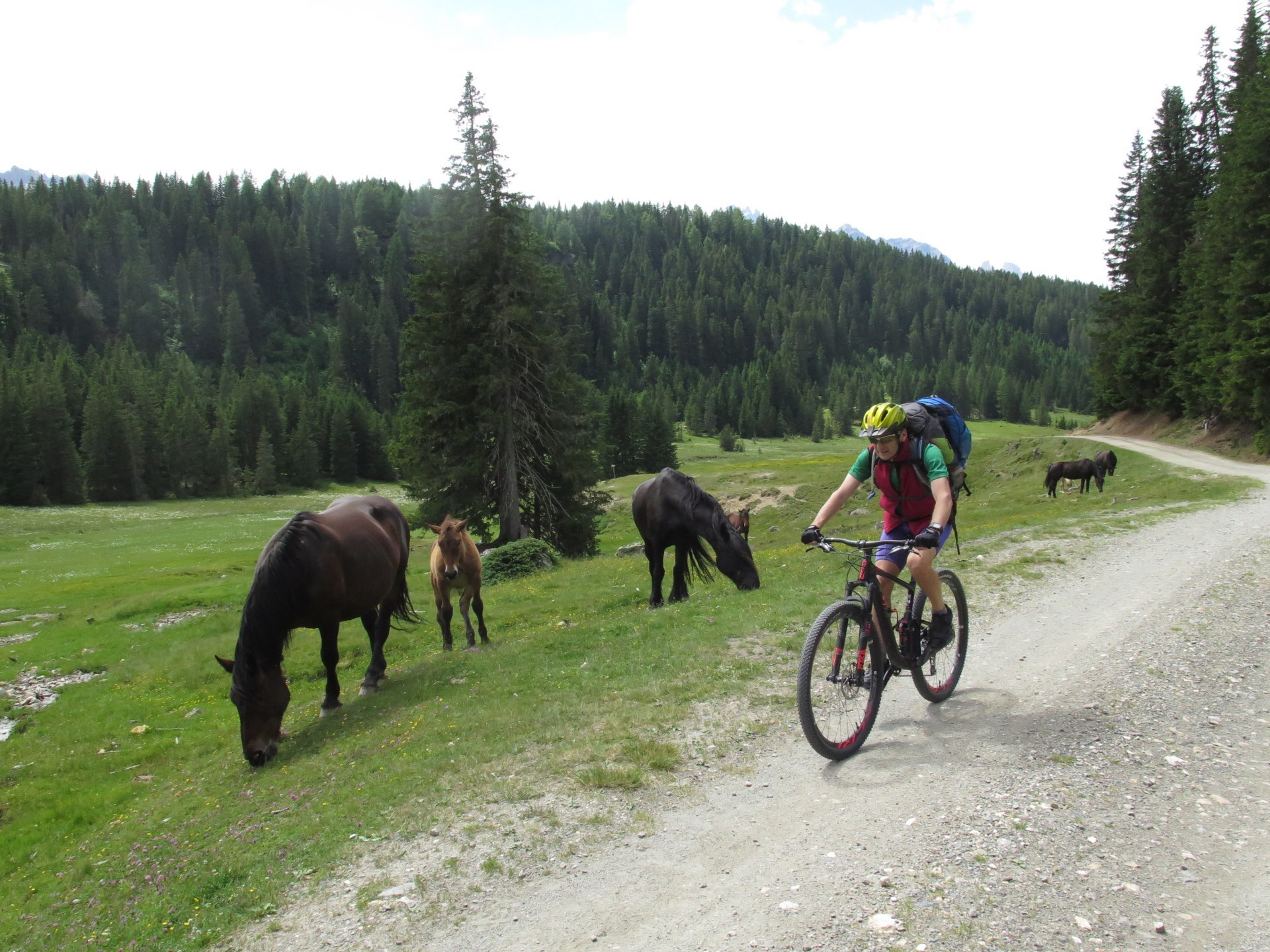
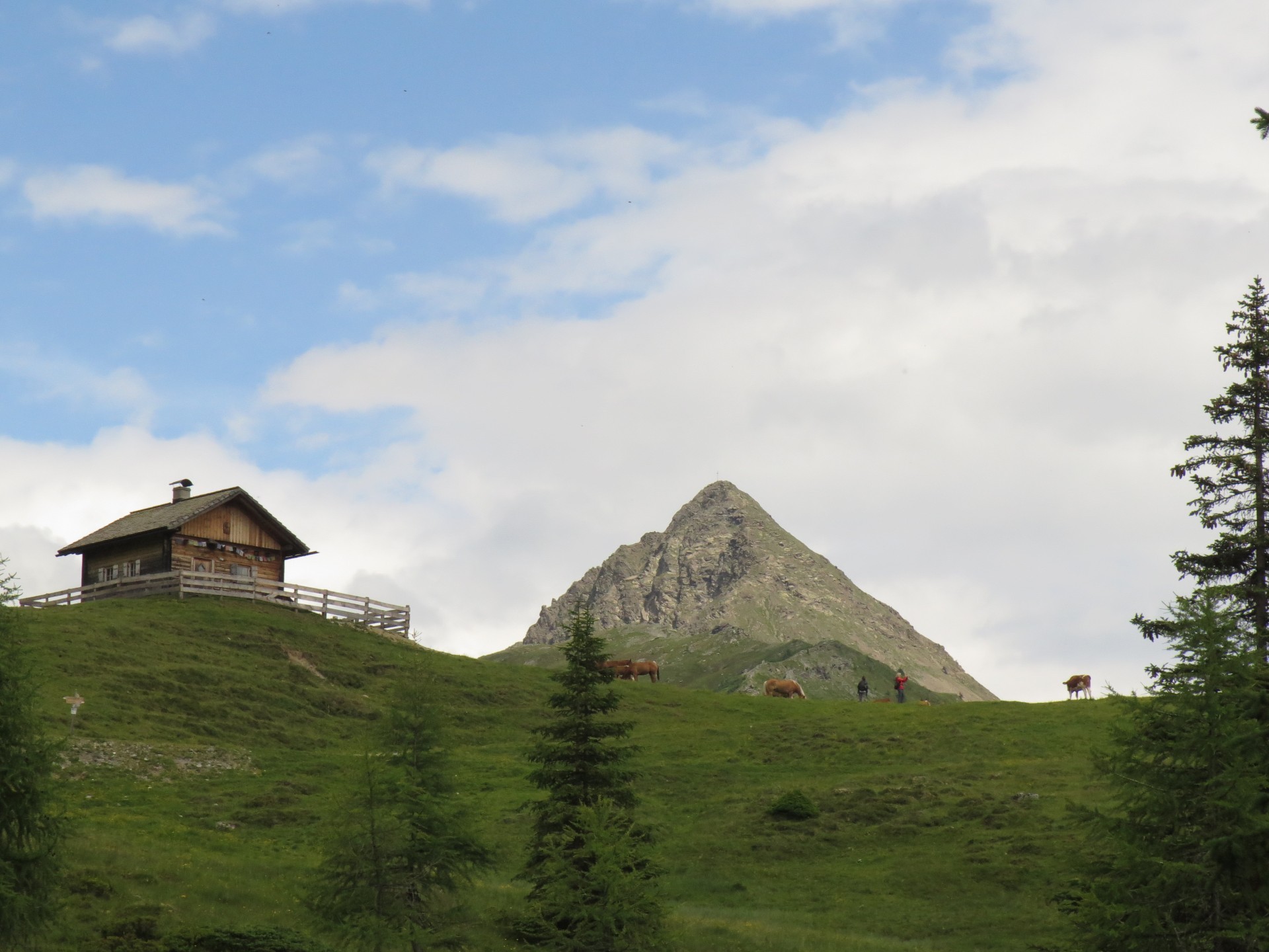
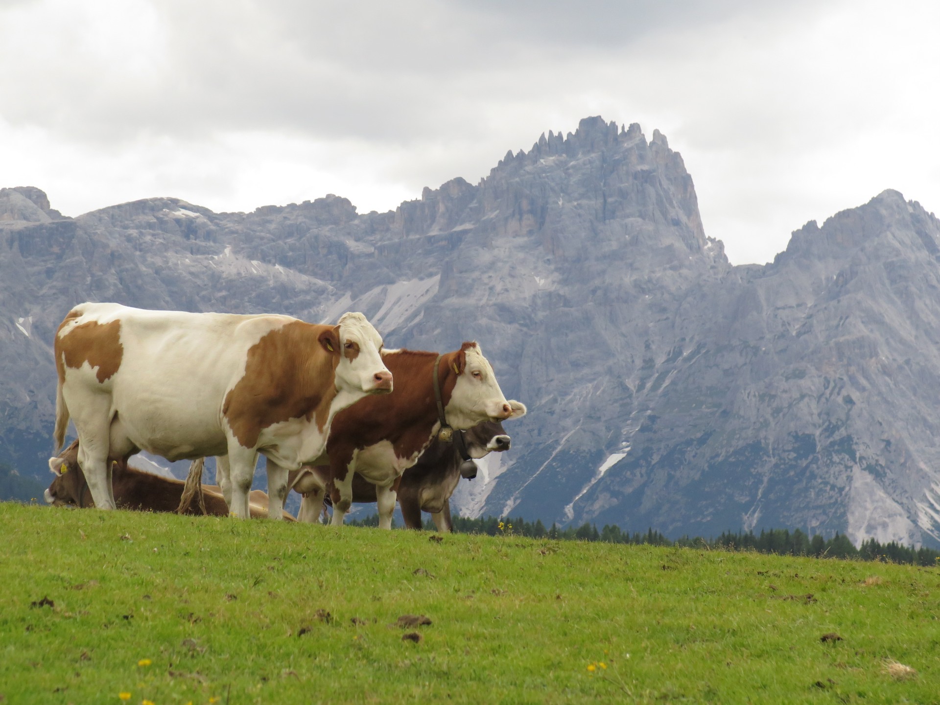
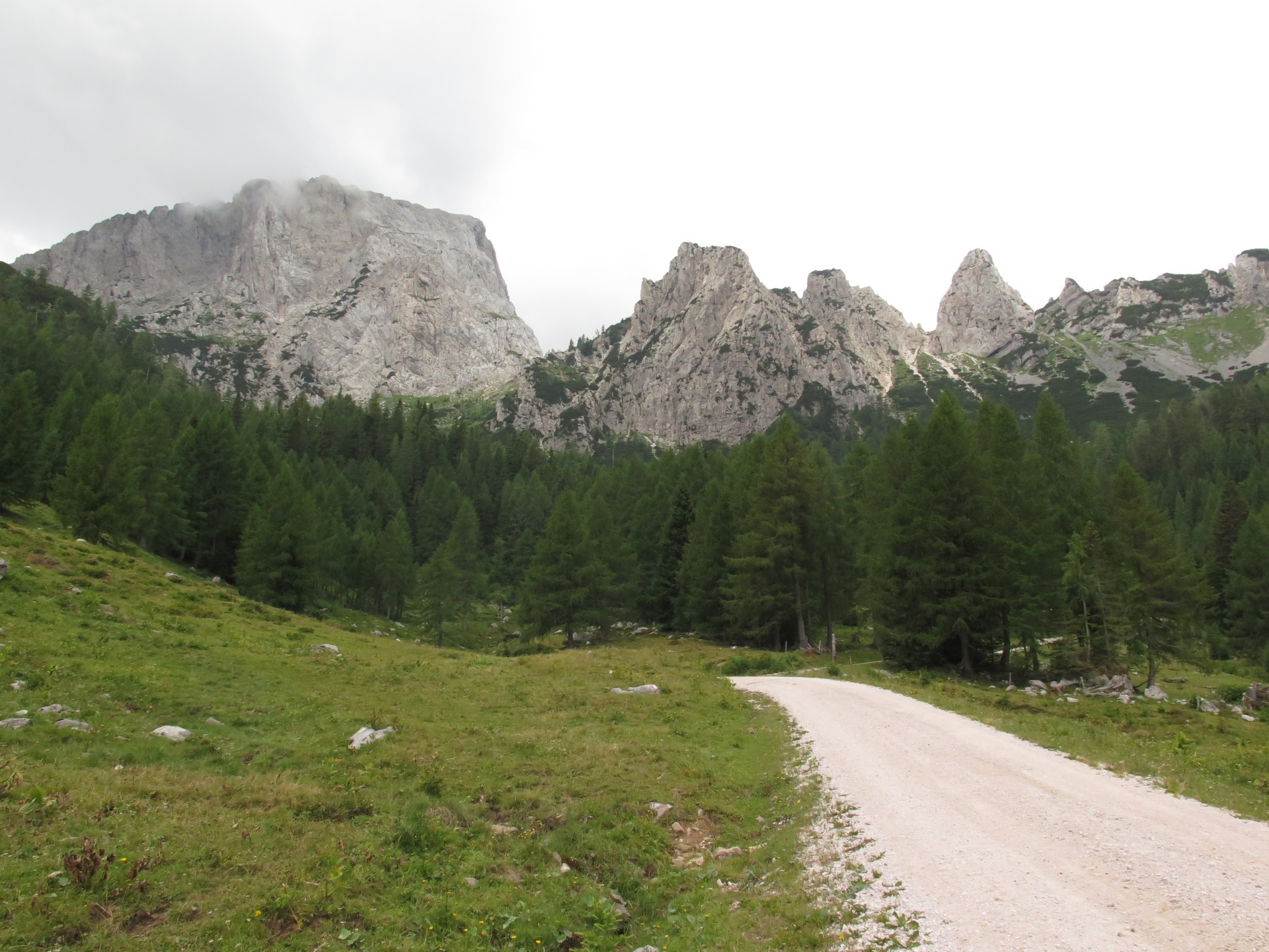
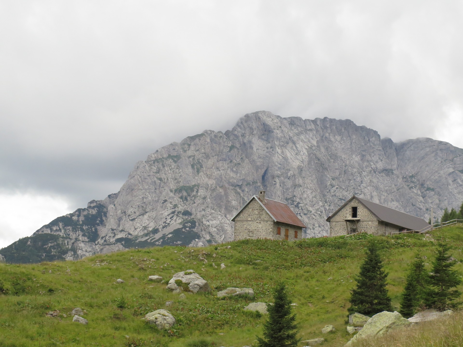
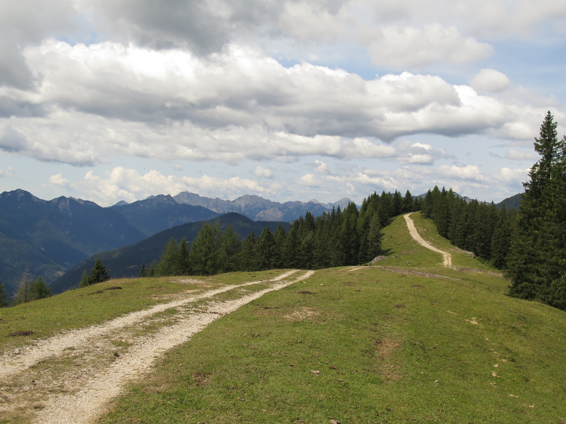
Dolomites.
Carniche Alps.
Giulie Alps.
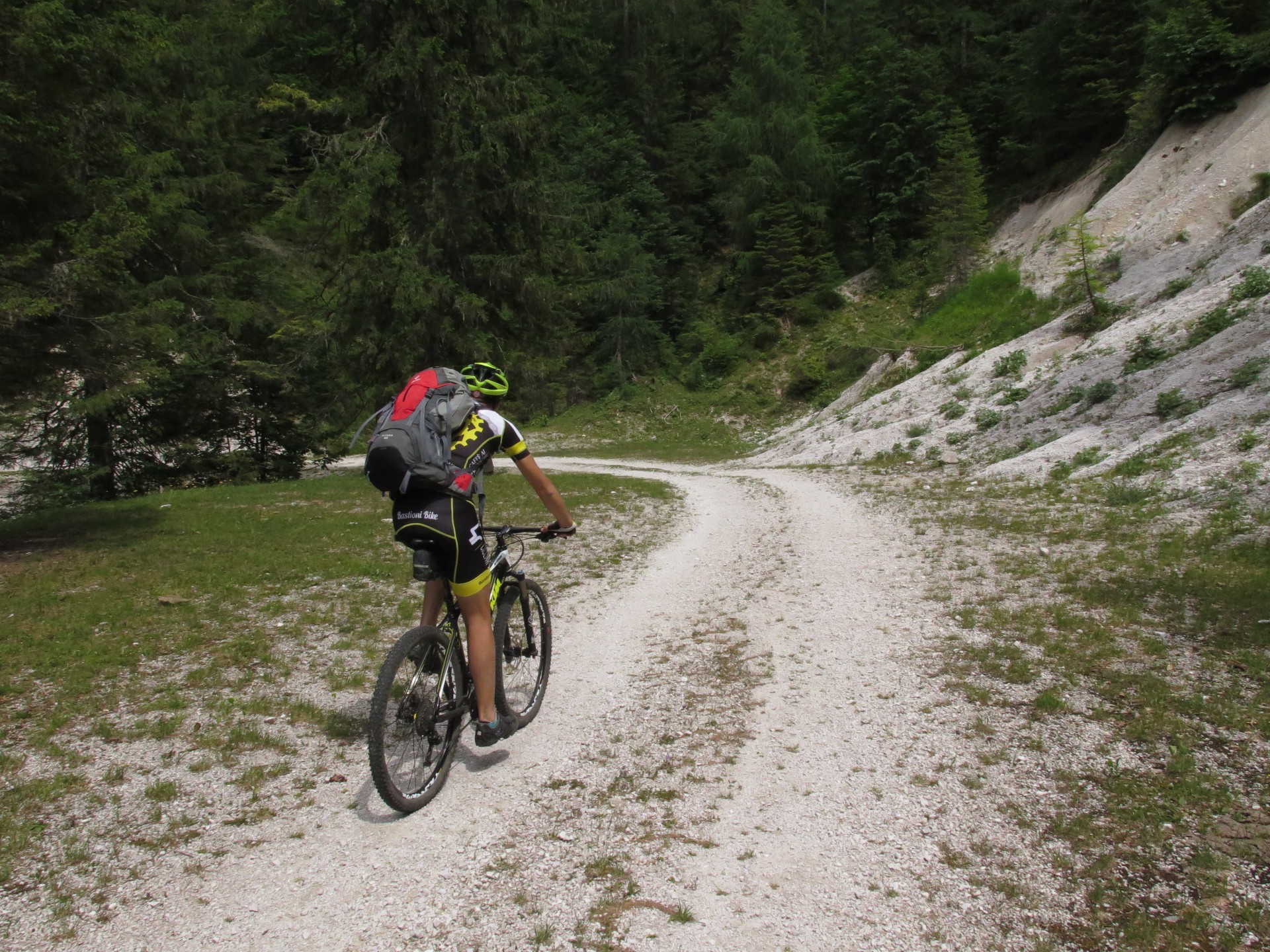
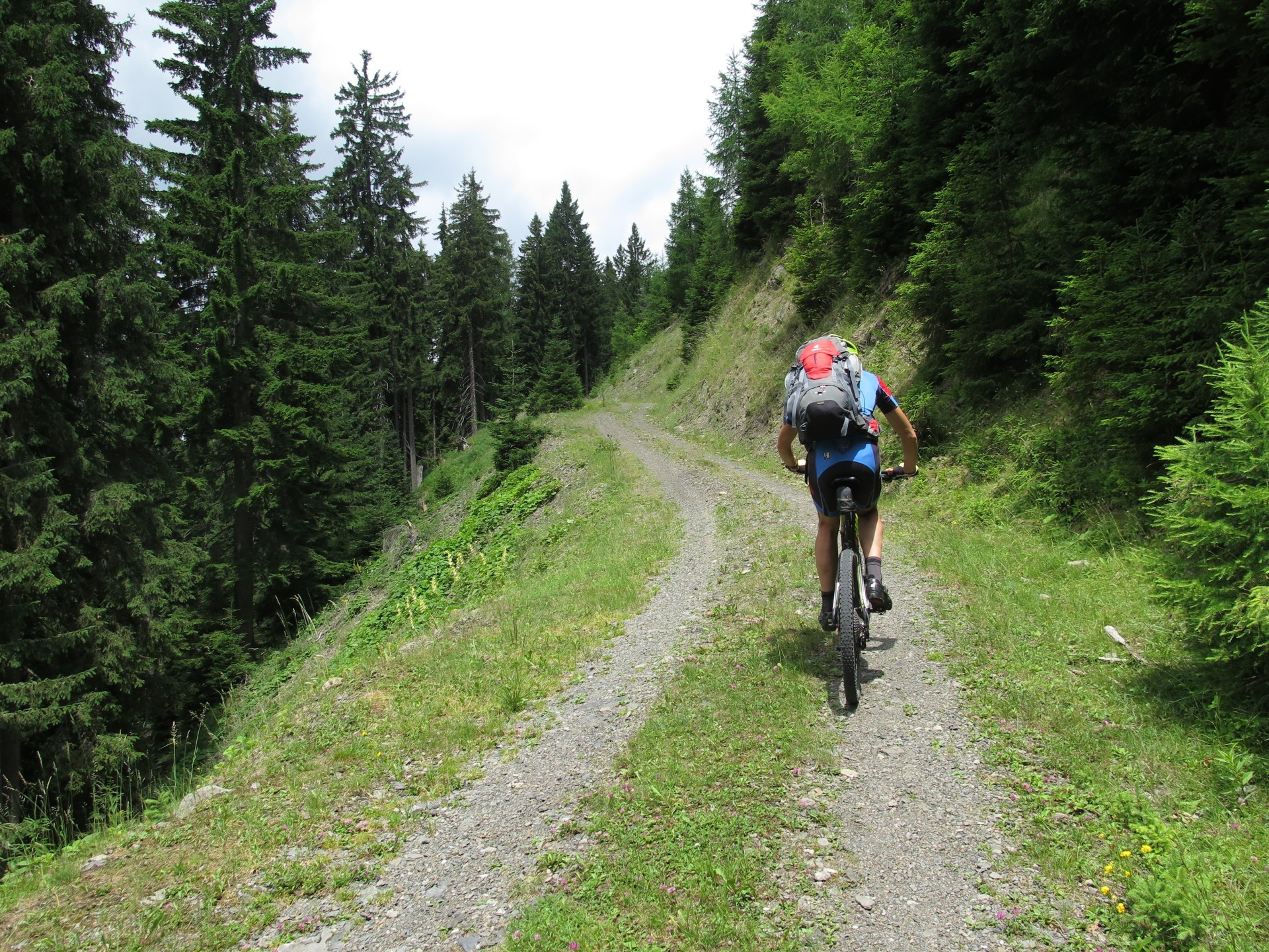
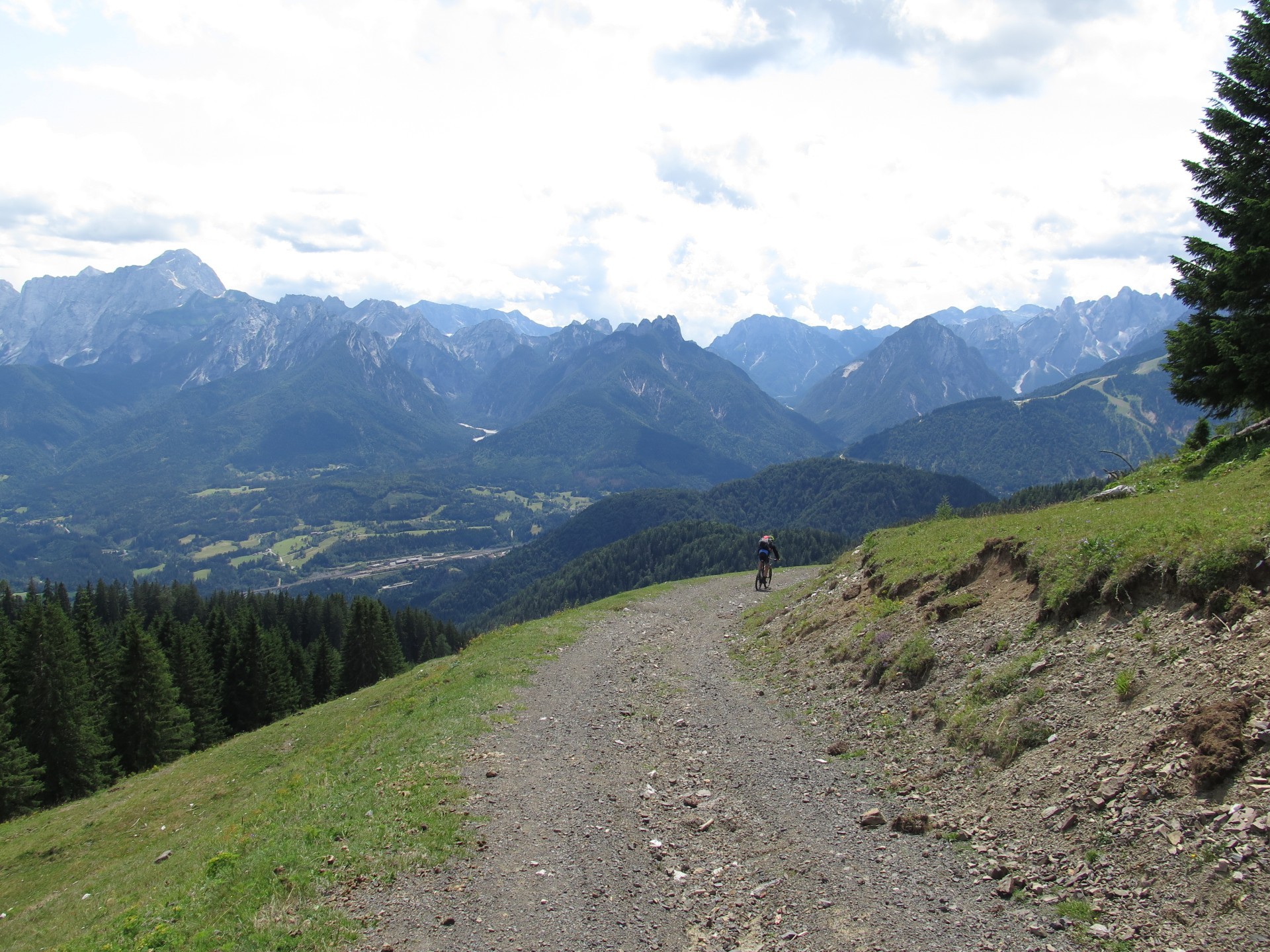
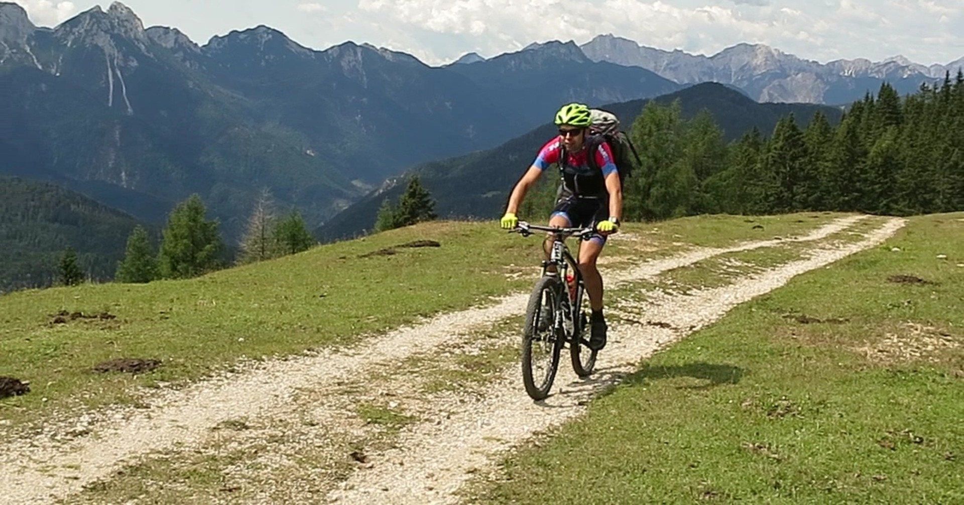
Traversata Carnica. By Mountain Bike.
I think it's enouth. Nothing more is need to explain this travel's beauty.
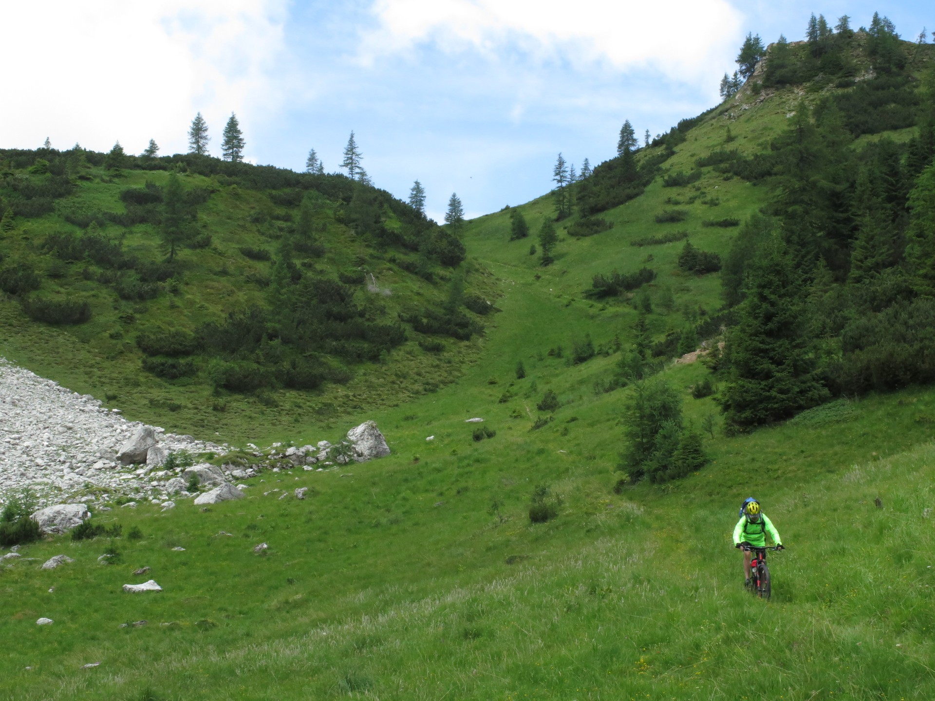
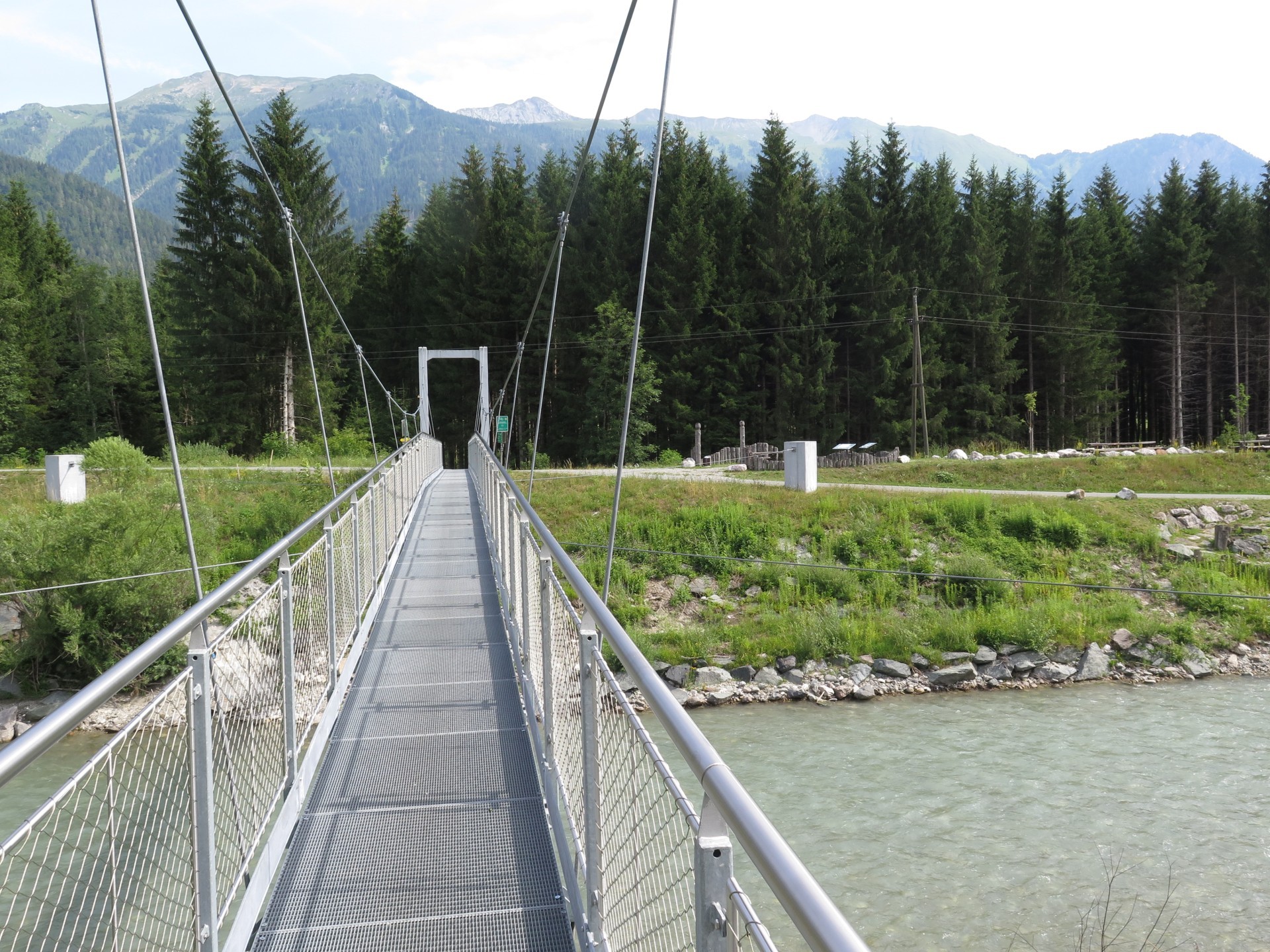
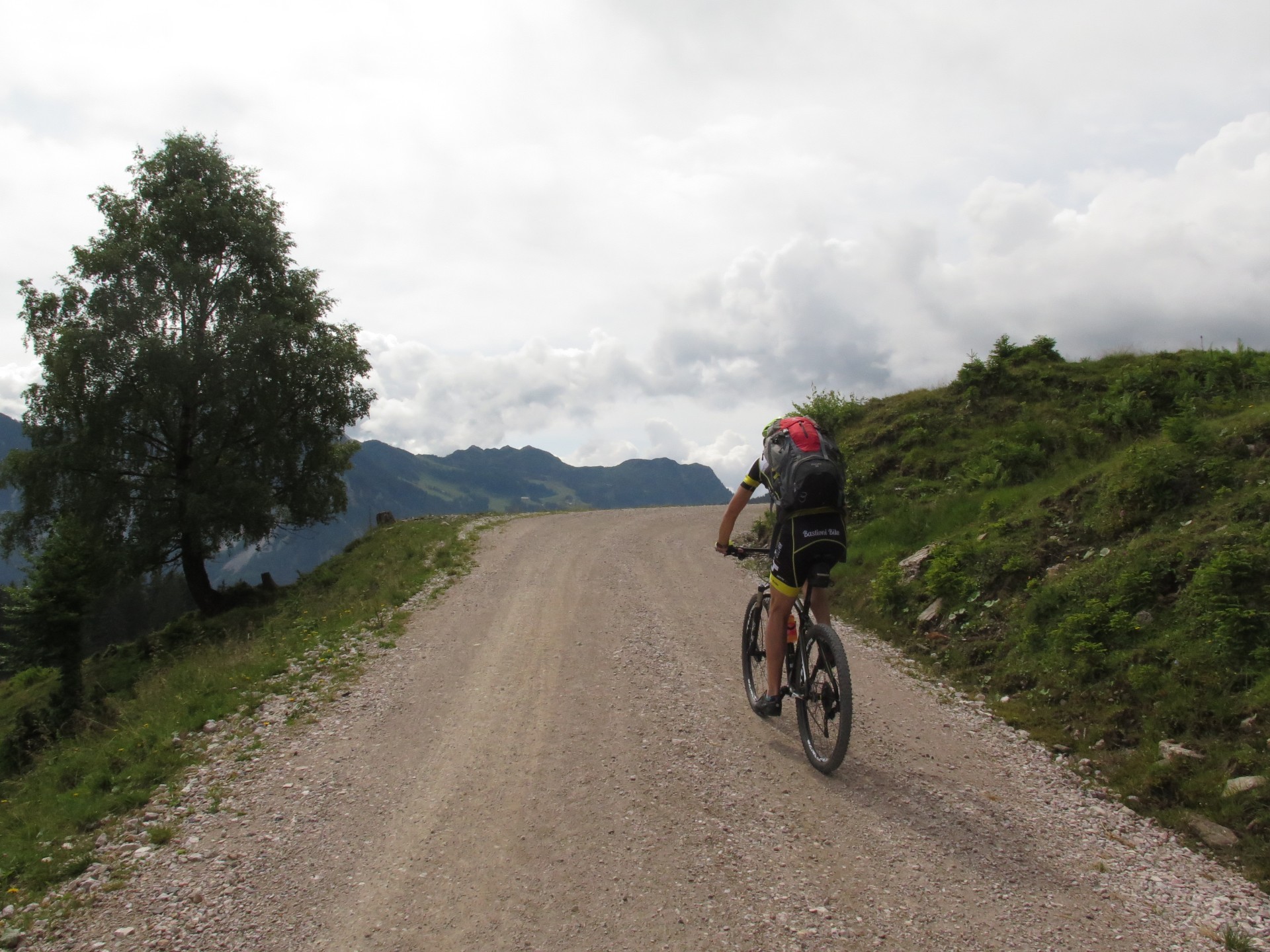
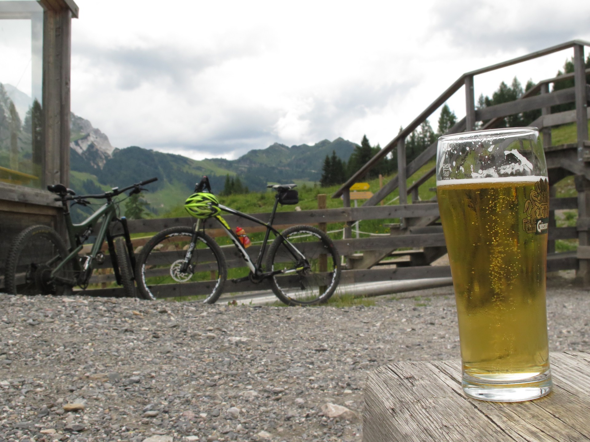
Even if it's long and hard and both technical and physical training are needed, everything is sheltered by amazing views all across the journey.
As you can see in tables below, there's a relax day in the middle of the trip, in between the long Dolomites ascents and short and numberous ones in Giulie Alps.
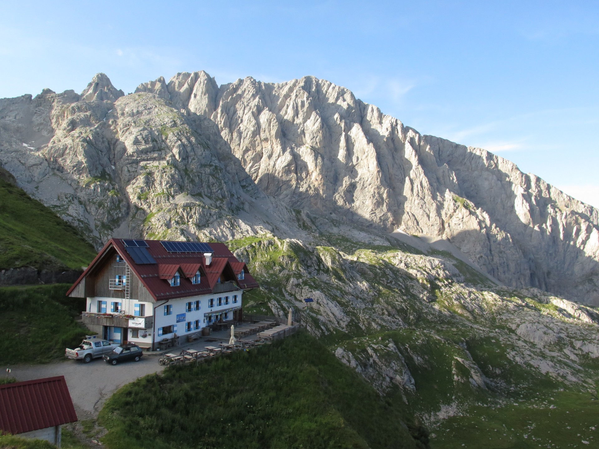
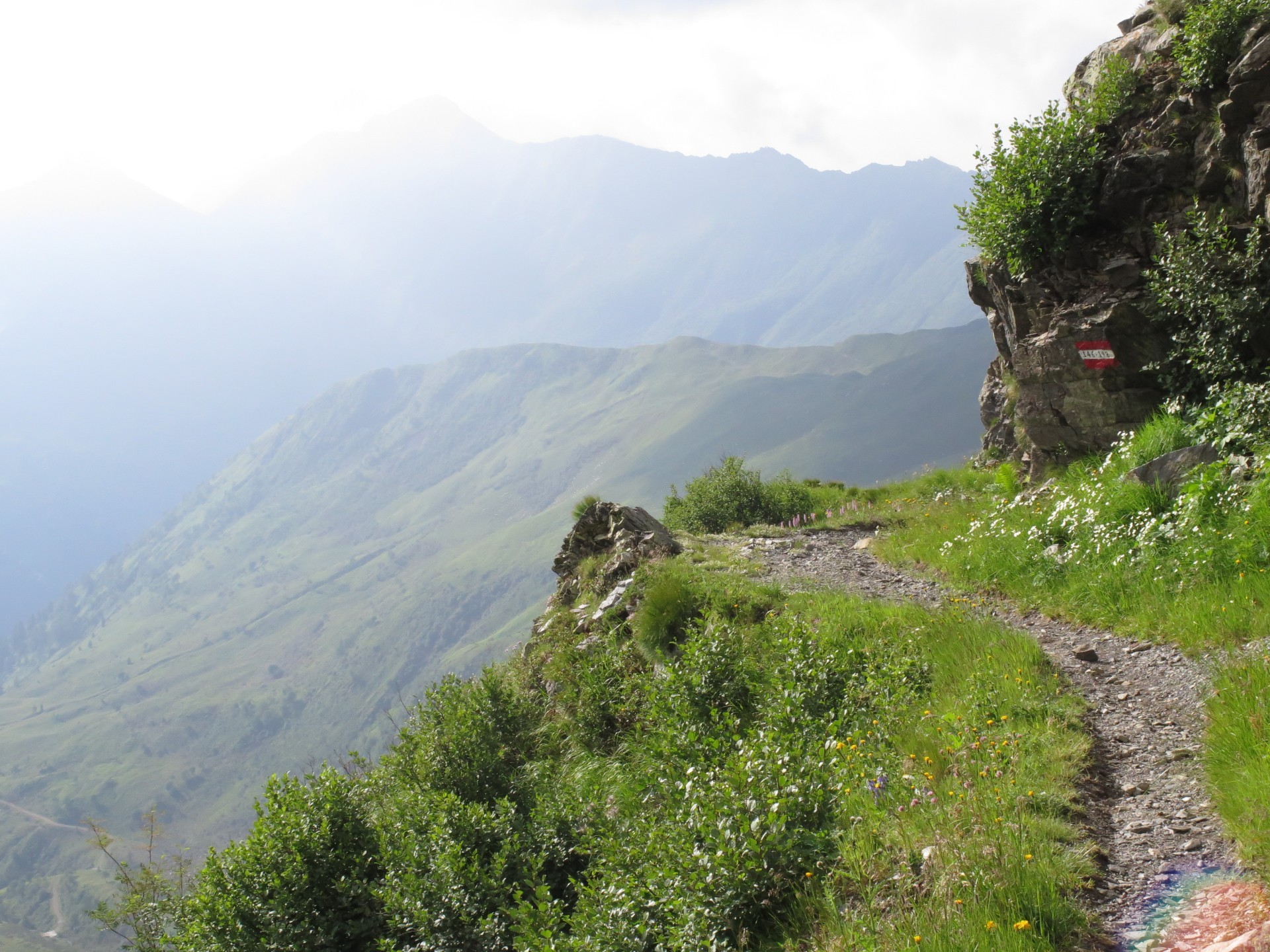
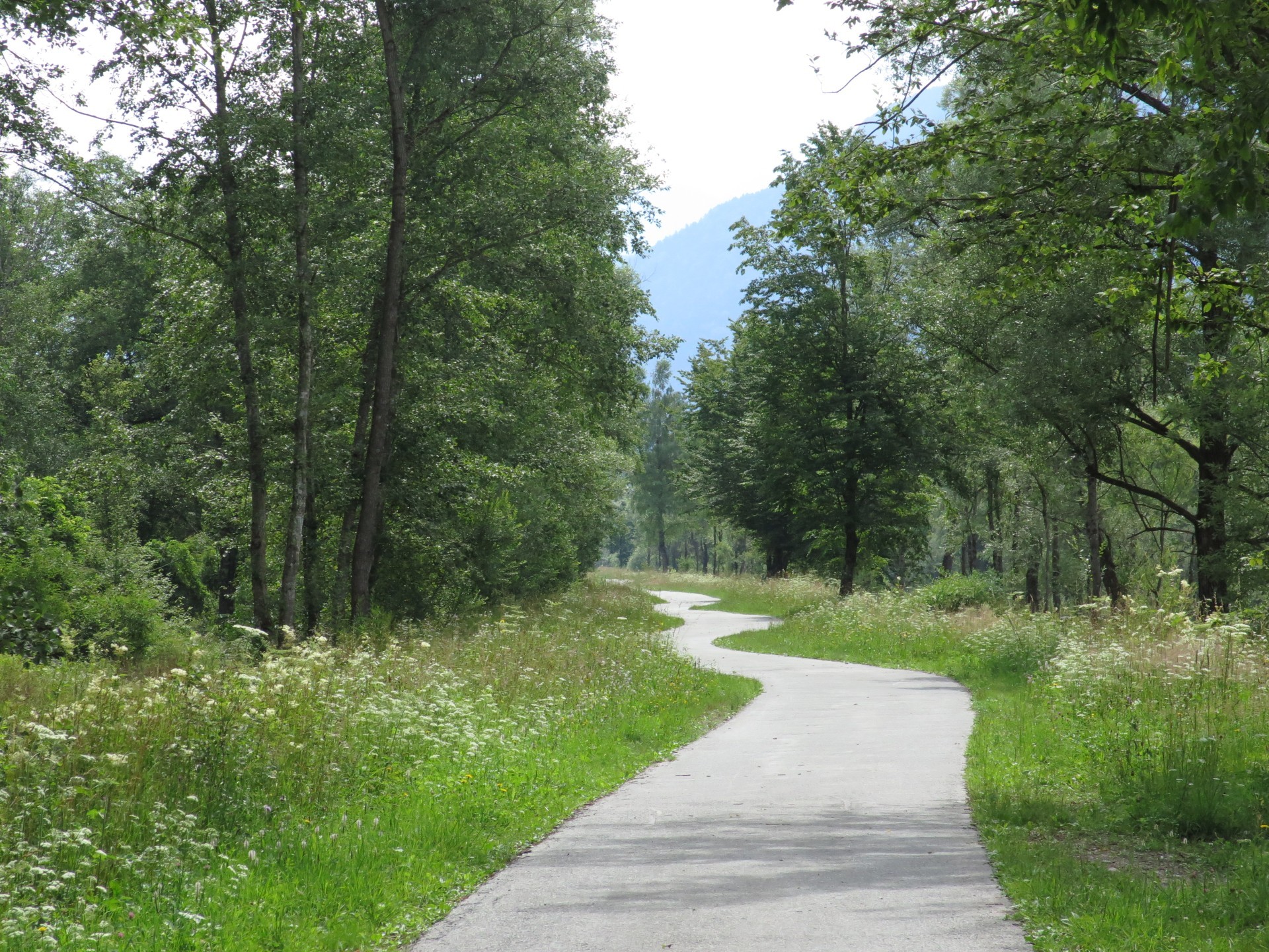
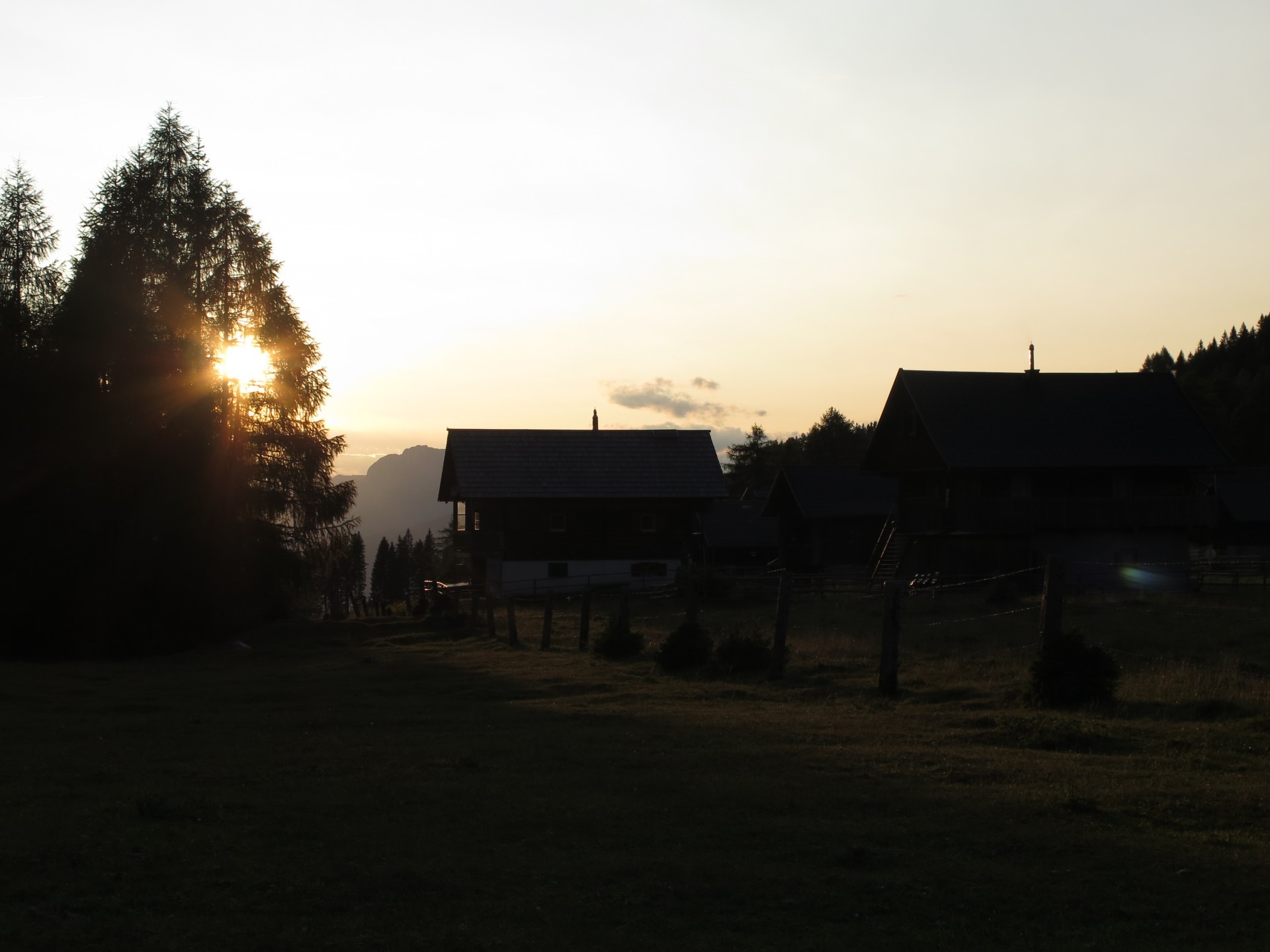
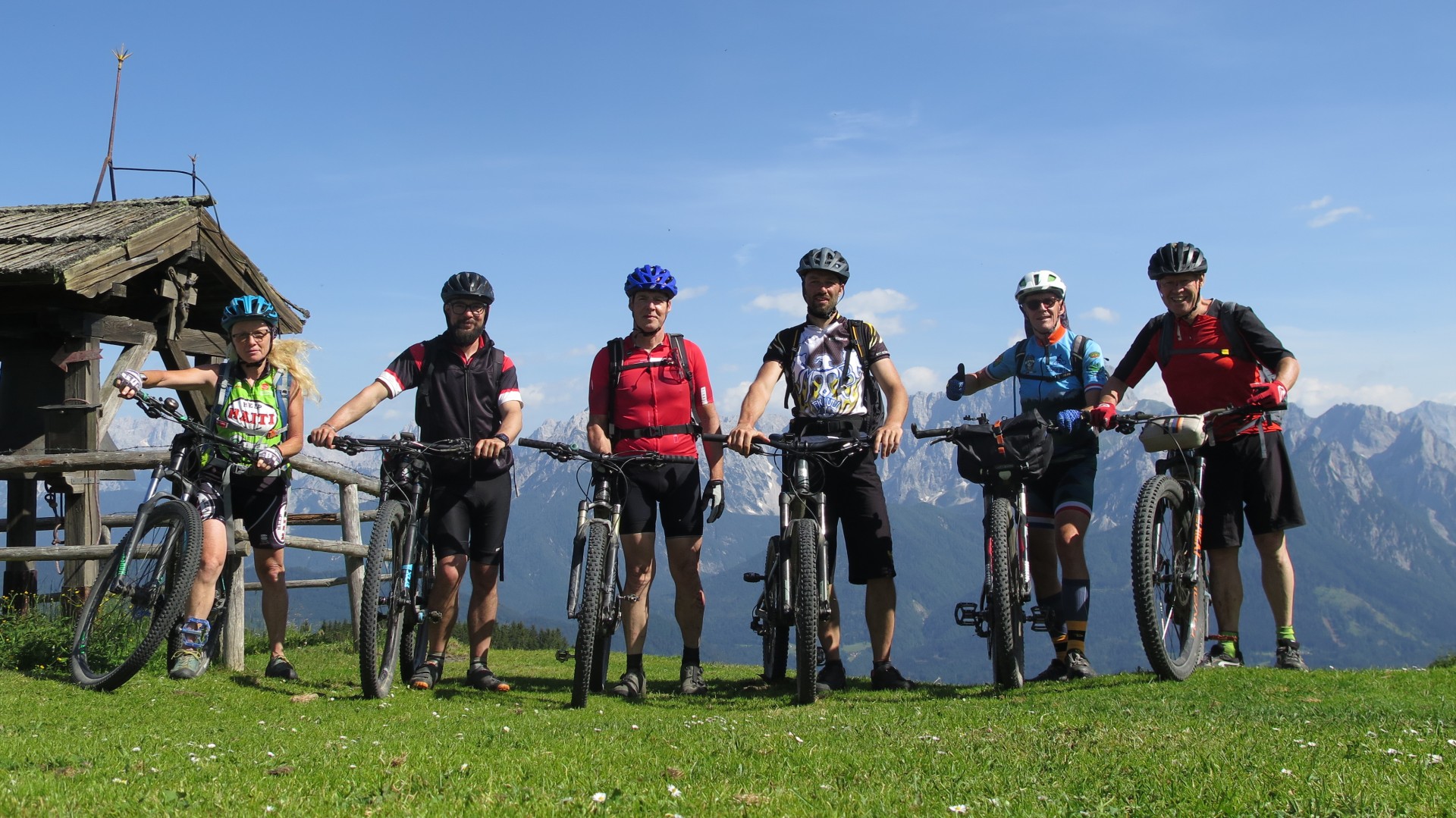
As indeed, us of MTB Friuli choose to travel all across dirt road or trail, if not possible, on bike paths. Every stage ends to a alpine lodge or accomodations easy to ready in any case: TCM - Traversata Carnica by Mountain bike could be not a travel only or an experience for adventured bikers like us. It's also an alternative for travels with friends and families.
For info, curiosities or discovering more this adventure:
Table below with distance (km) and elevation gain (m) of all stages:
| Stage | Length L (km) | Elev. Gain D+ (m) |
|---|---|---|
| Stage 1: San Candido/Innichen – Rif. M.ga di Nemes | 18 |
750 |
| Stage 2: Rif. M.ga di Nemes – Rif. Sorgenti del Piave | 35 |
1600 |
| Stage 3: Rif. Sorgenti del Piave – Rif. Marinelli | 29 |
1250 |
| Stage 4: Rif. Marinelli – Waidegg | 41 |
250 |
| Stage 5: Waidegg – Egger Alm | 39 |
1600 |
| Stage 6: Egger Alm – Coccau di Sopra | 42 |
1650 |
| Coming back: Coccau di Sopra - Tolmezzo | 67 |
300 |
| Total | 204 + 67 (return) |
7100 + 300 (return) |
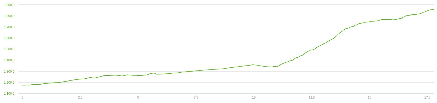
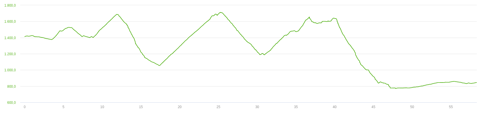
Stages plot's below. (Length in km in x axis; altitude in m in y axis).
Legend:
L = lenght (km);
H_min = min altitude (m);
H_max = max altitude (m);
D+ = elevation gain (m);
D- = elevation loss(m);
First stage. L = 18km; H_min = 1178m; H_max = 1860m; D+ = 732m; D- = 49m.
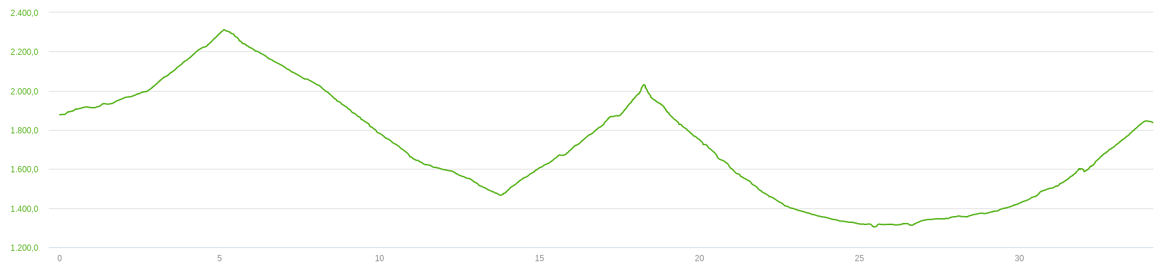
Second stage. L = 35km; H_min = 1300m; H_max = 2312m; D+ = 1600m; D- = 1639m.
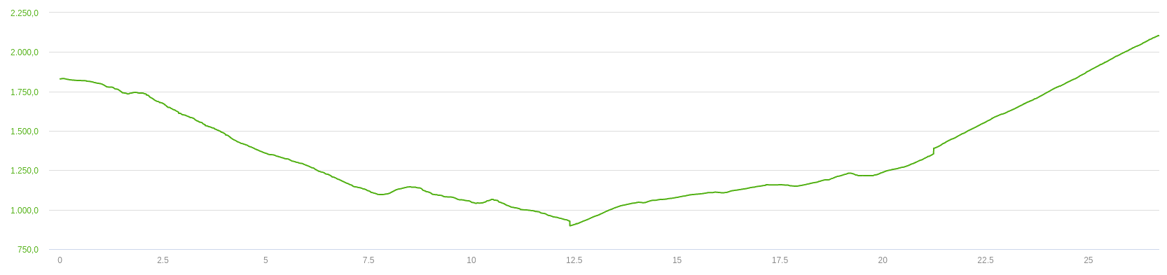
Third stage. L = 29km; H_min = 896m; H_max = 2096m; D+ = 1229m; D- = 965m.
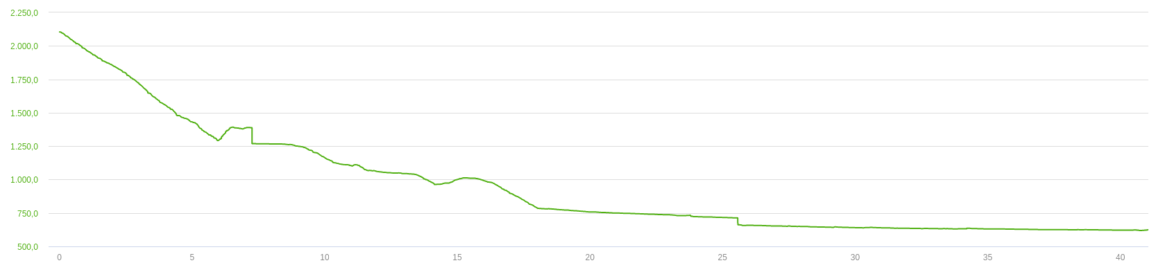
Fourth stage. L = 41km; H_min = 618m; H_max = 2098m; D+ = 230m; D- = 1695m.
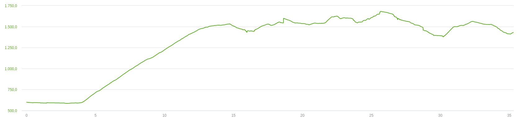
Fifth stage. L = 39km; H_min = 597m; H_max = 1659m; D+ = 1605m; D- = 816m.
Sixth stage. L = 42km; H_min = 744m; H_max = 1701m; D+ = 1641m; D- = 2298m.
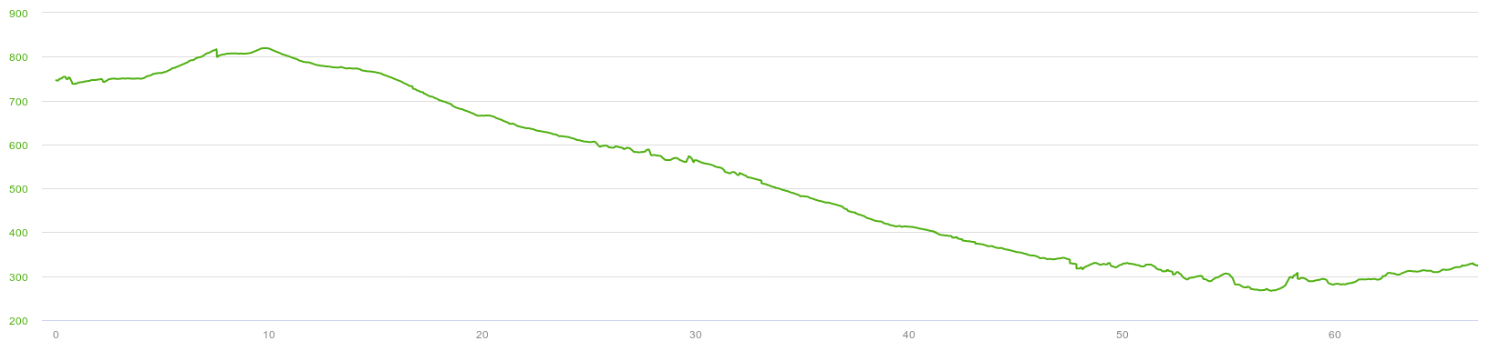
Coming back: L = 67km; H_min = 267m; H_max = 819m; D+ = 313m; D- = 707m.
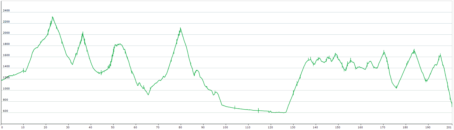
TOT: L = 271km; H_min = 267m; H_max = 2312m; D+ = 7350m; D- = 8169m.
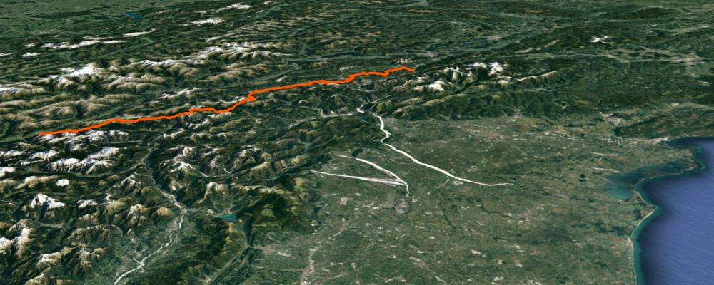
Track's picture and video
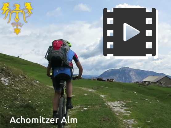
Crossing Dolomites and Alps in 3 minutes.
Only amazing view and unforgettable emotion travel.
 .PDF Guide
 Parking
 Track
Track Contact us!