


Paths and Travels in Friuli Venezia Giulia
Gemona
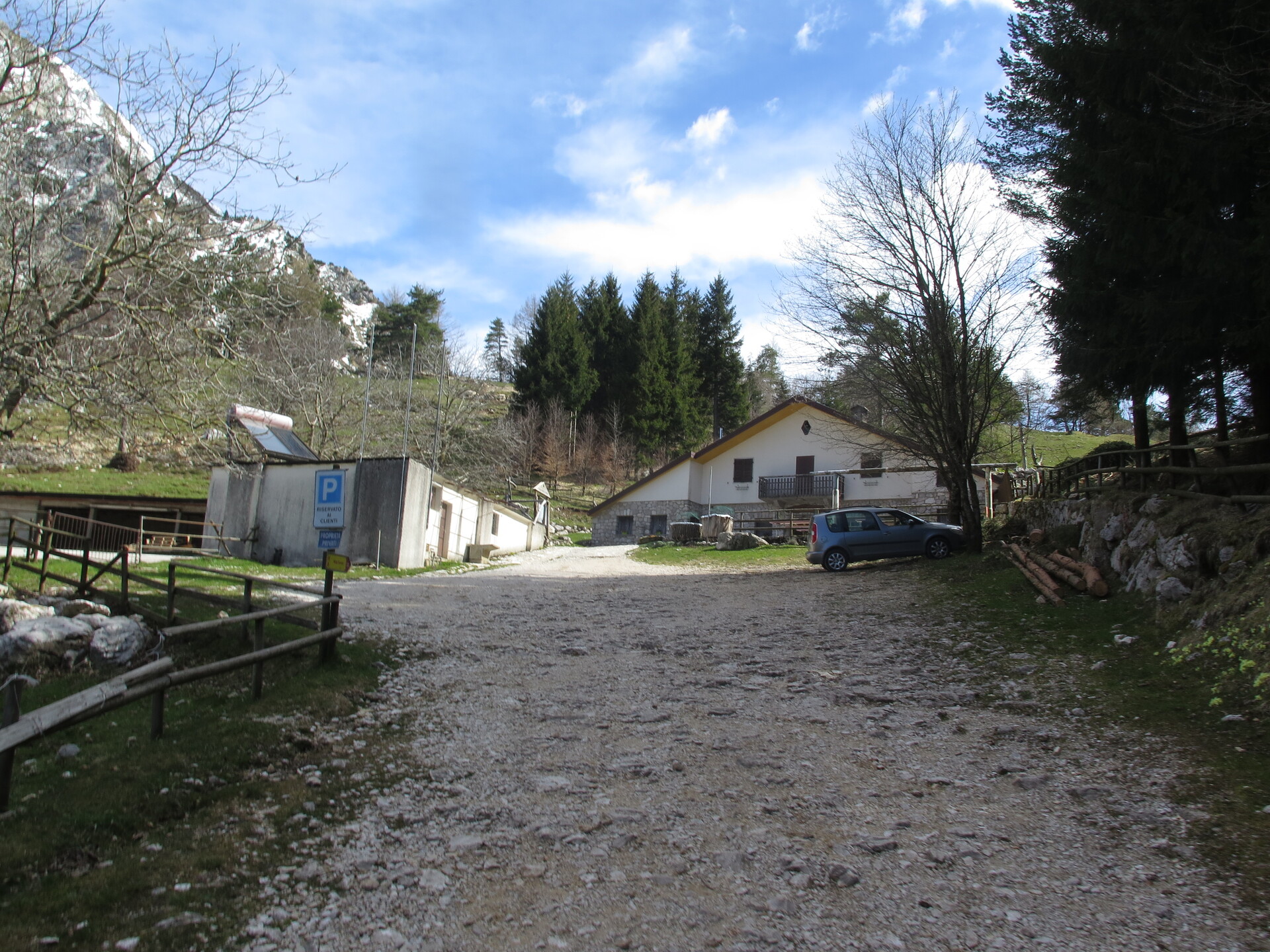
Cuarnan Hut
Foredôr Saddle
Become a member
Paths and Travels in Friuli Venezia Giulia
Path, direction, suggestion
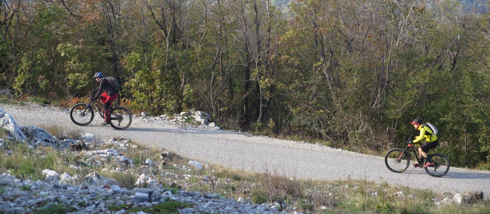
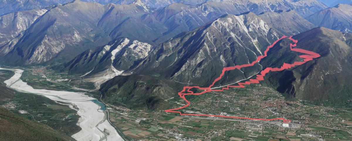
The zone around Gemona town is perfect for mountain bike paths: close to the plain and reachable from Udine town in a few minutes, there are a lot of roads and trails with bottom usable also with rain; in addition, roads are full of signals.
The features of this route are representative of this area. The track starts in the Gemona town, beginning on a dirt road first, passing after to a tarmac road, that goes up to Malga Cuarnan (Cuarnan Hut). Who makes this route will remind the number of its 180-degrees turns.
Anyway, the uphill has a constant and not so high slope, mainly into the wood: good for each season.
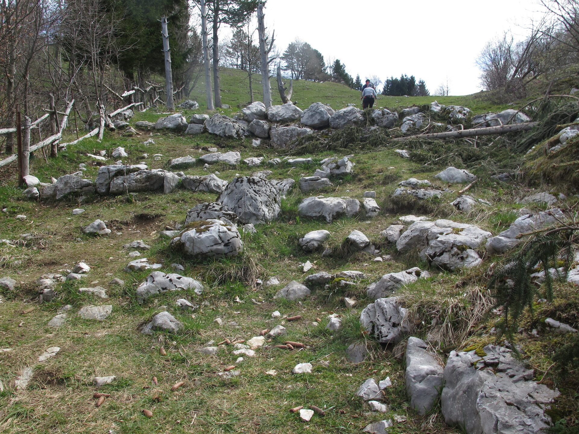
Arrived to Cuarnan Hut, you will pass from the road to a trail, going beyond the hut. In a few hundreds of metres, which can't be all done by bike, the trail arrives to the slope. Here the uphill ends.
The descent is on the same uphill trail but in North direction, reaching soon the Sella Foredôr (Foredor Saddle). There, the descent takes the CAI 713 path, West direction.
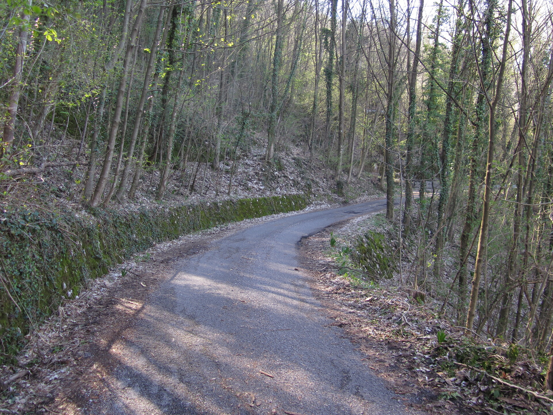
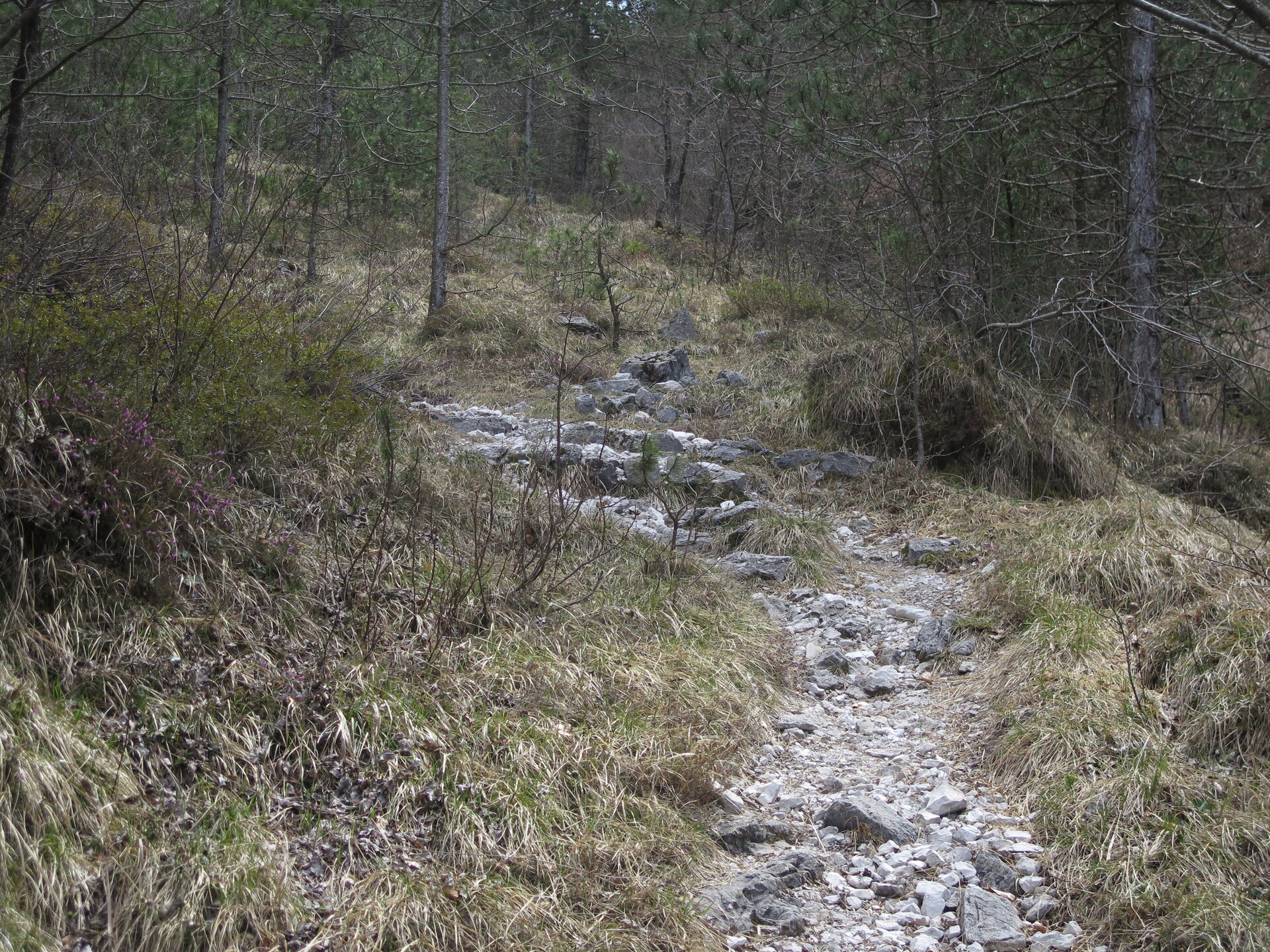
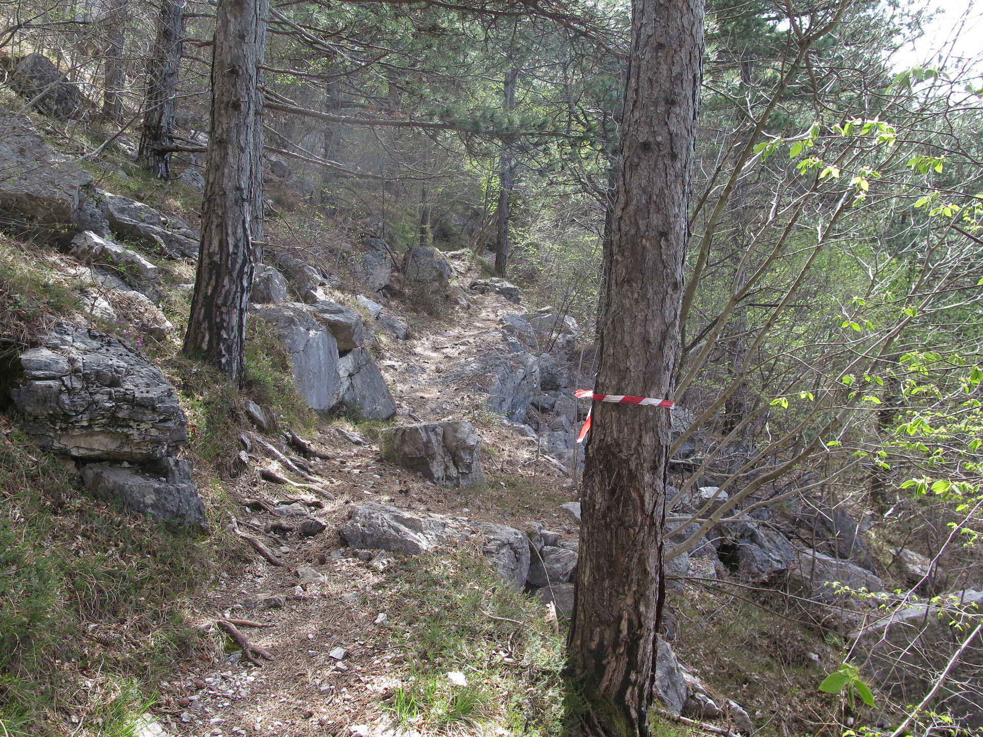
The descent has initially a few compact road bottom, with stones on those you need to pay attention. After, you will reach a trail part with a bottom good for running, but you need to pay attention, too: the trail had been done for trekking, not for biking!
Arrived to a road with a cement bottom, you will soon turn right, taking a trail. It has some tenth of metres in plain, after that, there is a nice descent, on which some enduro rides had done. At the end of the descent you will be on the same uphill road, quite at the beginning of the route.
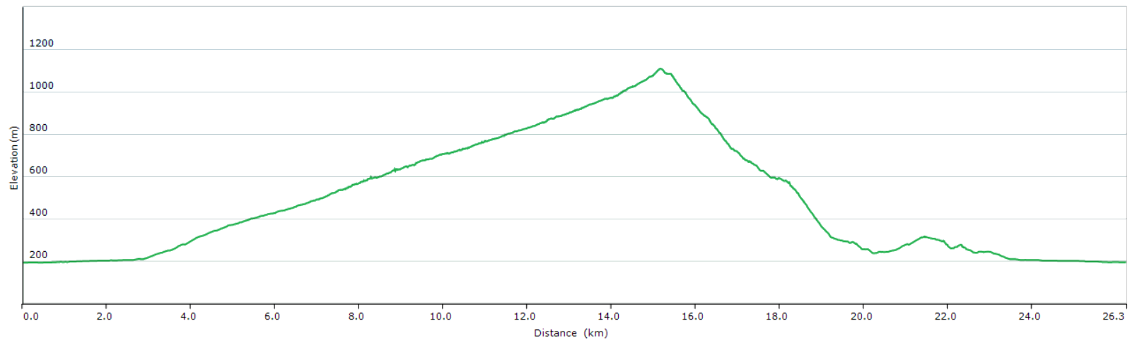
The path is 18km long with 950m of elevation gain. Weather conditions apart, you could ride this track during all seasons.
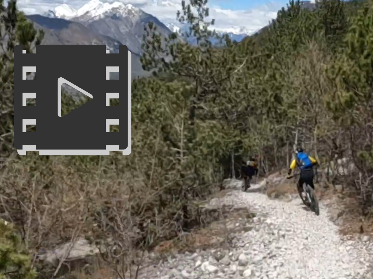
Track's picture and video
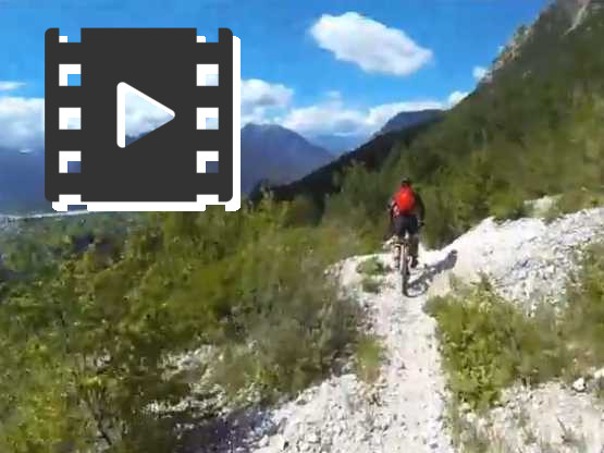
GoPro movie.
On uphill, you make the region road with more curves, in descent one of the best paths.
The uphill toward Cuarnan Hut.
Constant slope, not so high, and with the highest number of 180-degrees turns of the region.
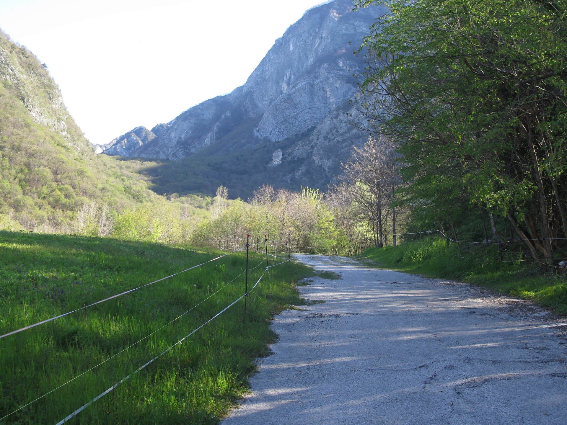
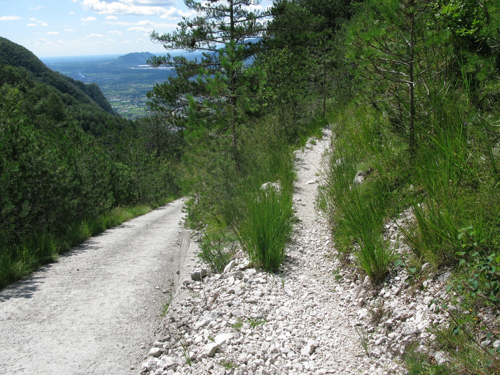
Landscape during the uphill.
Cuâr and Flagjel Mounts on the left.
The uphill close to Cuarnan Hut toward the slope.
It's a path that can't be all done by bike. Totally, it's about one hundred of metres long.
Cjampòn Mount, North from Foredôr Saddle.
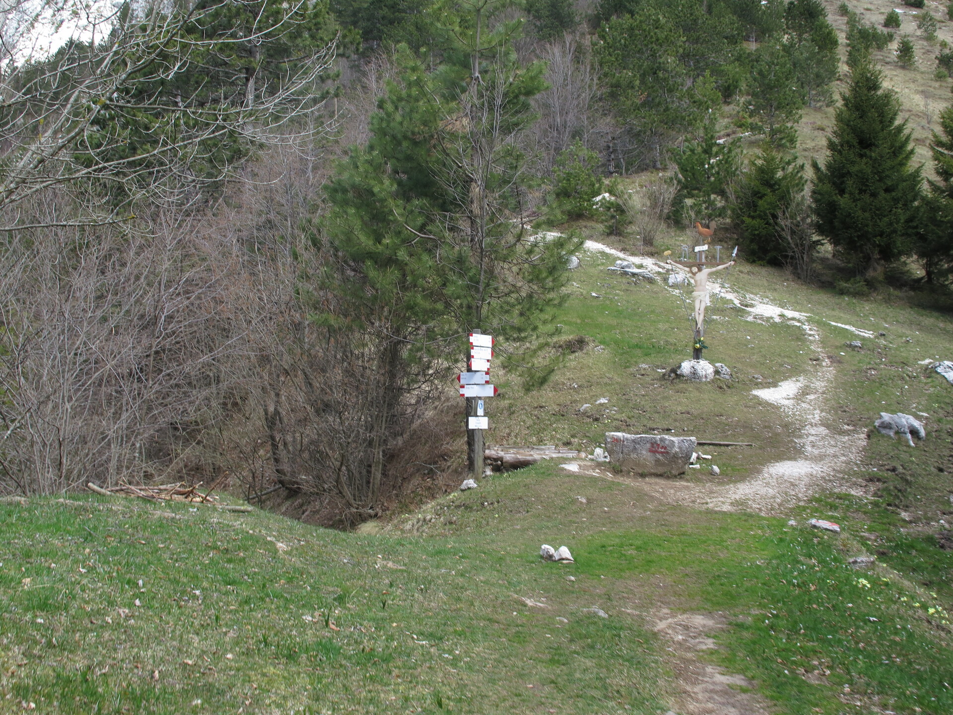
At the slope above Cuarnan Hut.
Landscape to Torre River Valley.
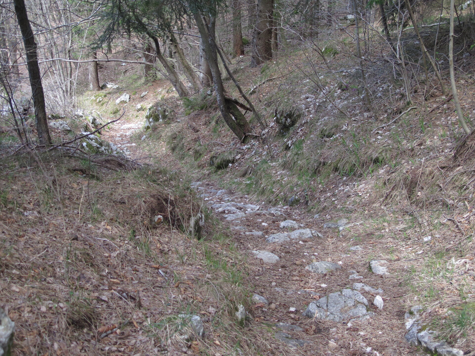
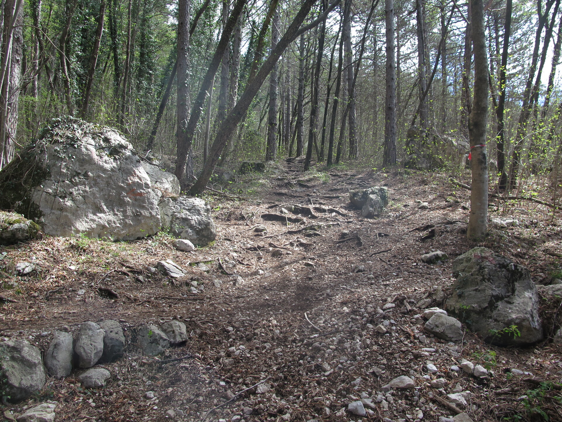
During descent.
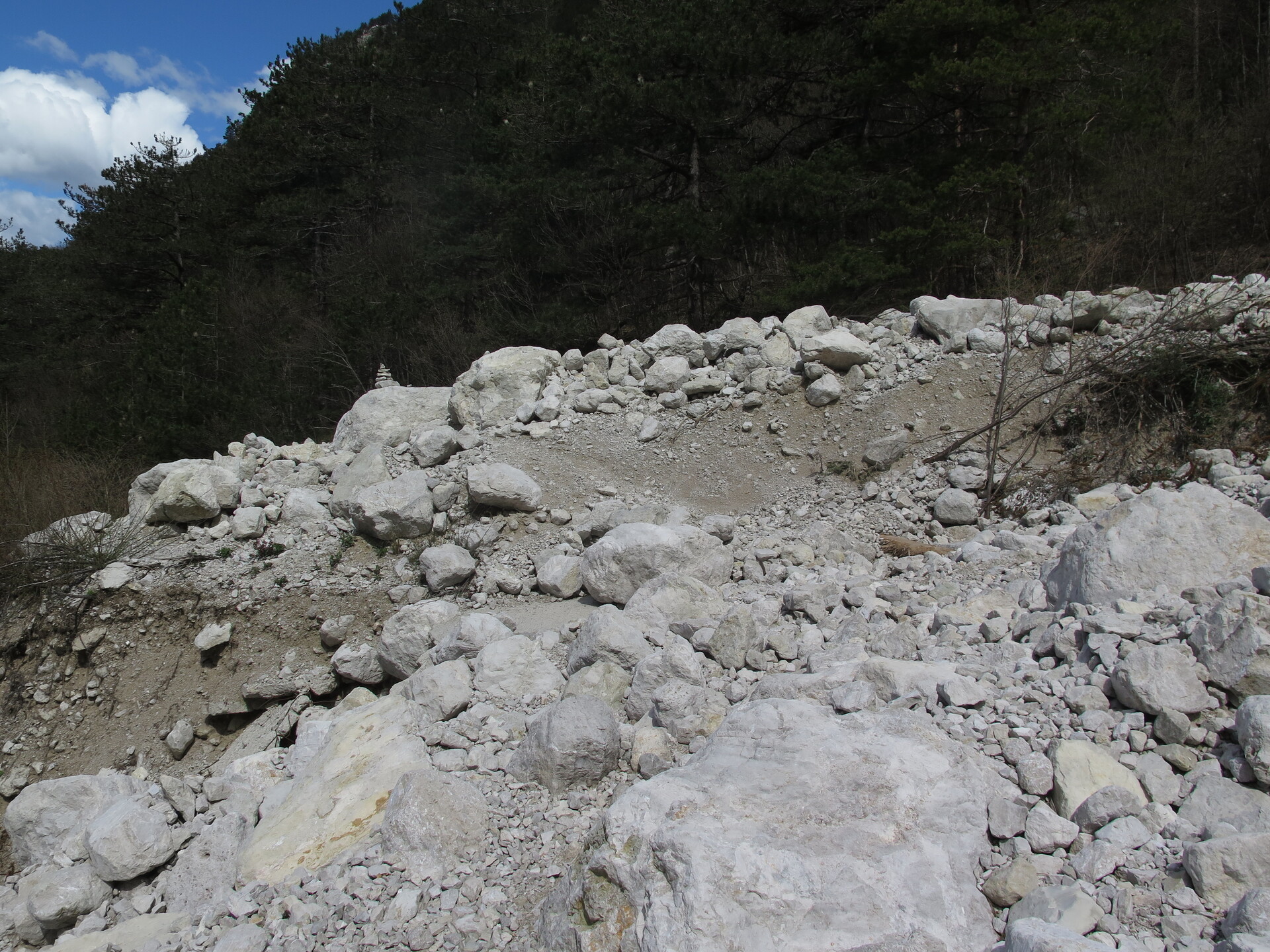
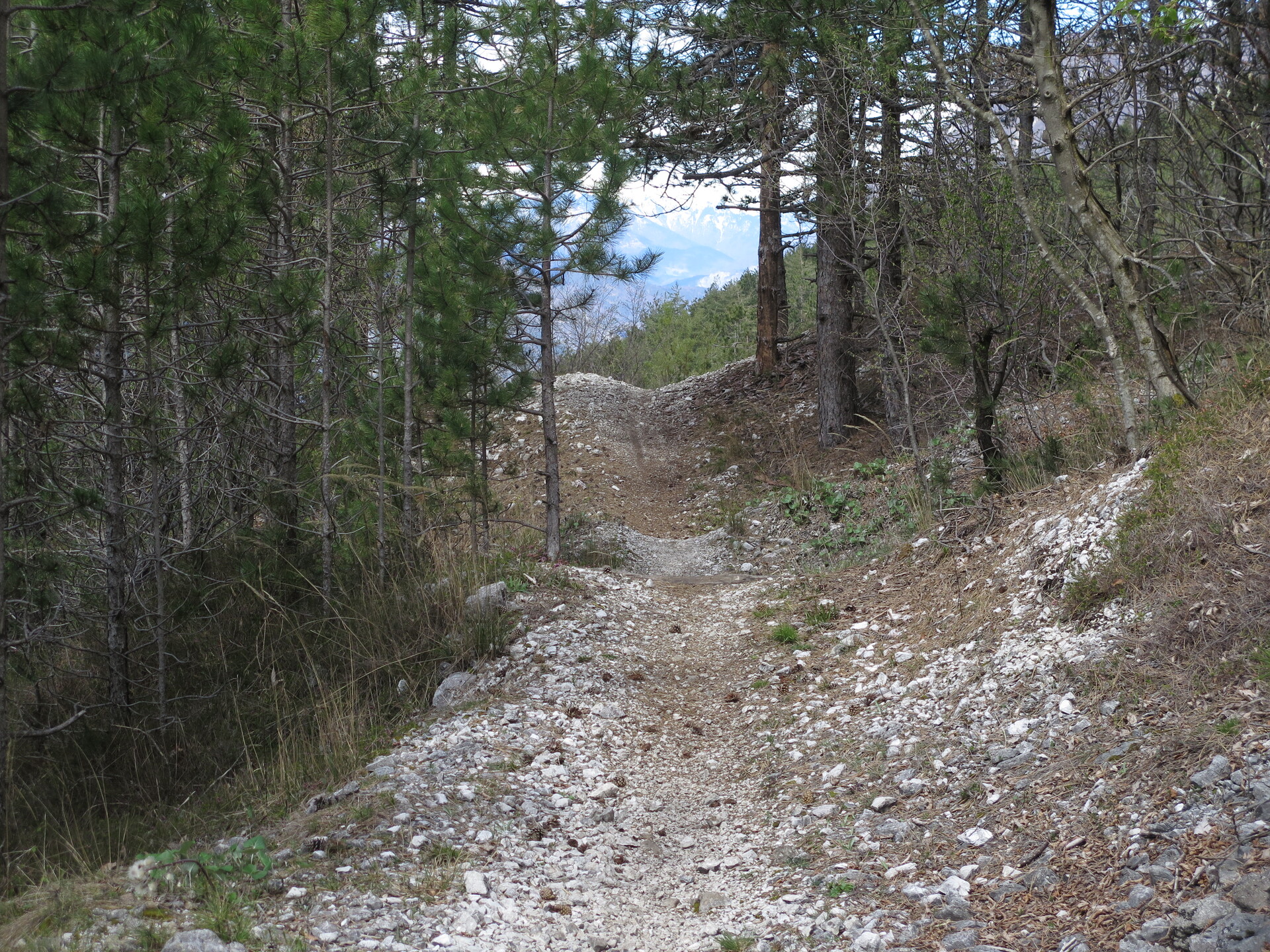
The high part of the descent has a bottom with stones and crosses a lot of streams gravels.
After, the trail has a bottom good for running.
Cross line: road or trail?


 Tabacco Map: 20
 .PDF Guide
 Parking
 Track
Track