


Paths and Travels in Friuli Venezia Giulia
The walls of
Palmanova
Become a member
Paths and Travels in Friuli Venezia Giulia
Path, direction, suggestion
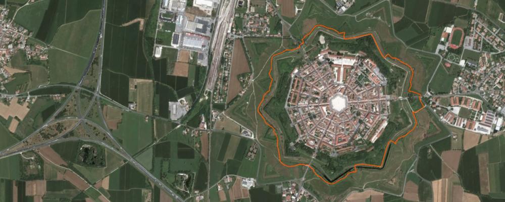
The Palmanova city is an historical town with origin in Venetian empire in 16th century. Its main characteristic is the fortress star shape: the shape of the city is a star with 9 points, the houses are all inside, and is surrounded from green fields and the fortress canal. Nowadays, the city is full of historical and sport events, too much to report them all in a few words, but you can explore in the website: Gruppo Bastioni Bike. What's needed is a run in Palmanova!
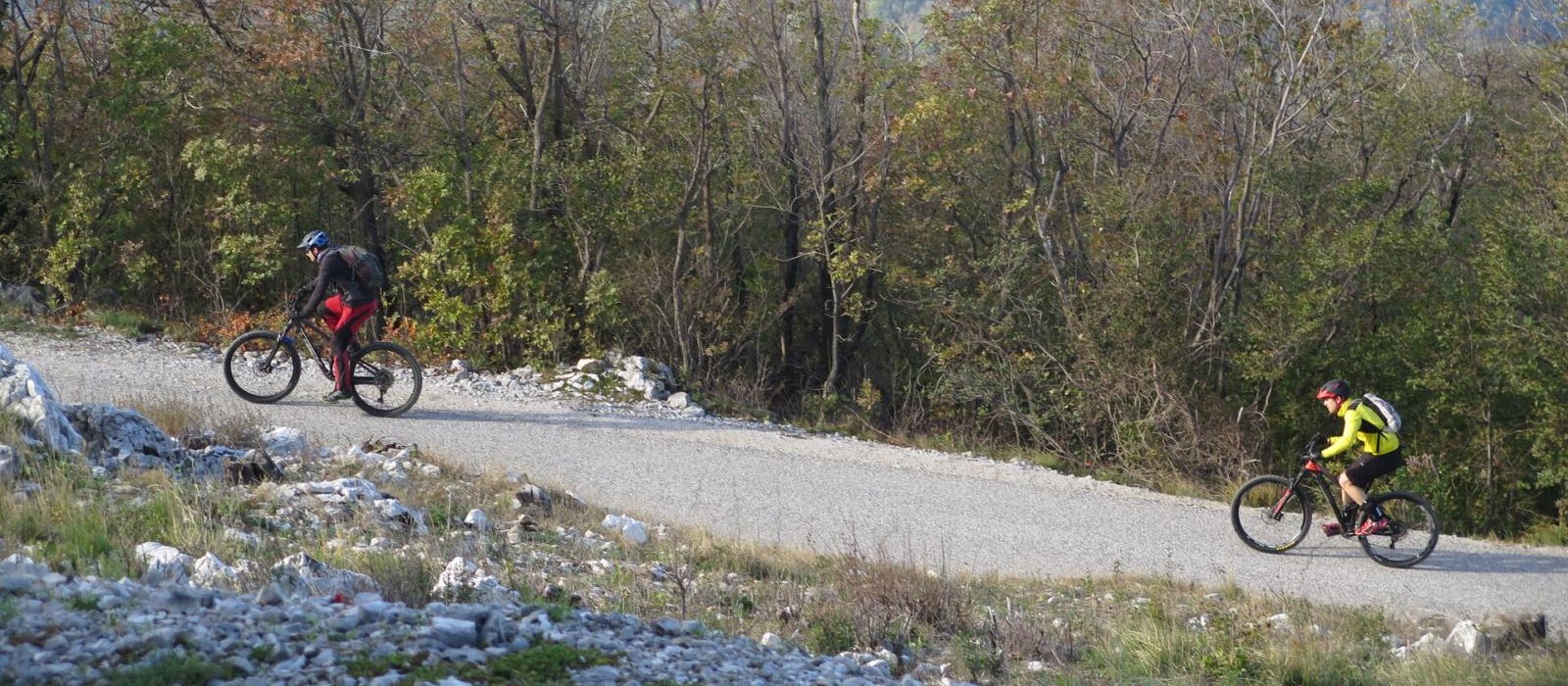
The two this page tracks are short and easy: they run around the fort only once along a trail good for biking. Both have departure and arrival in same location, so they can be repeated how many times you want.
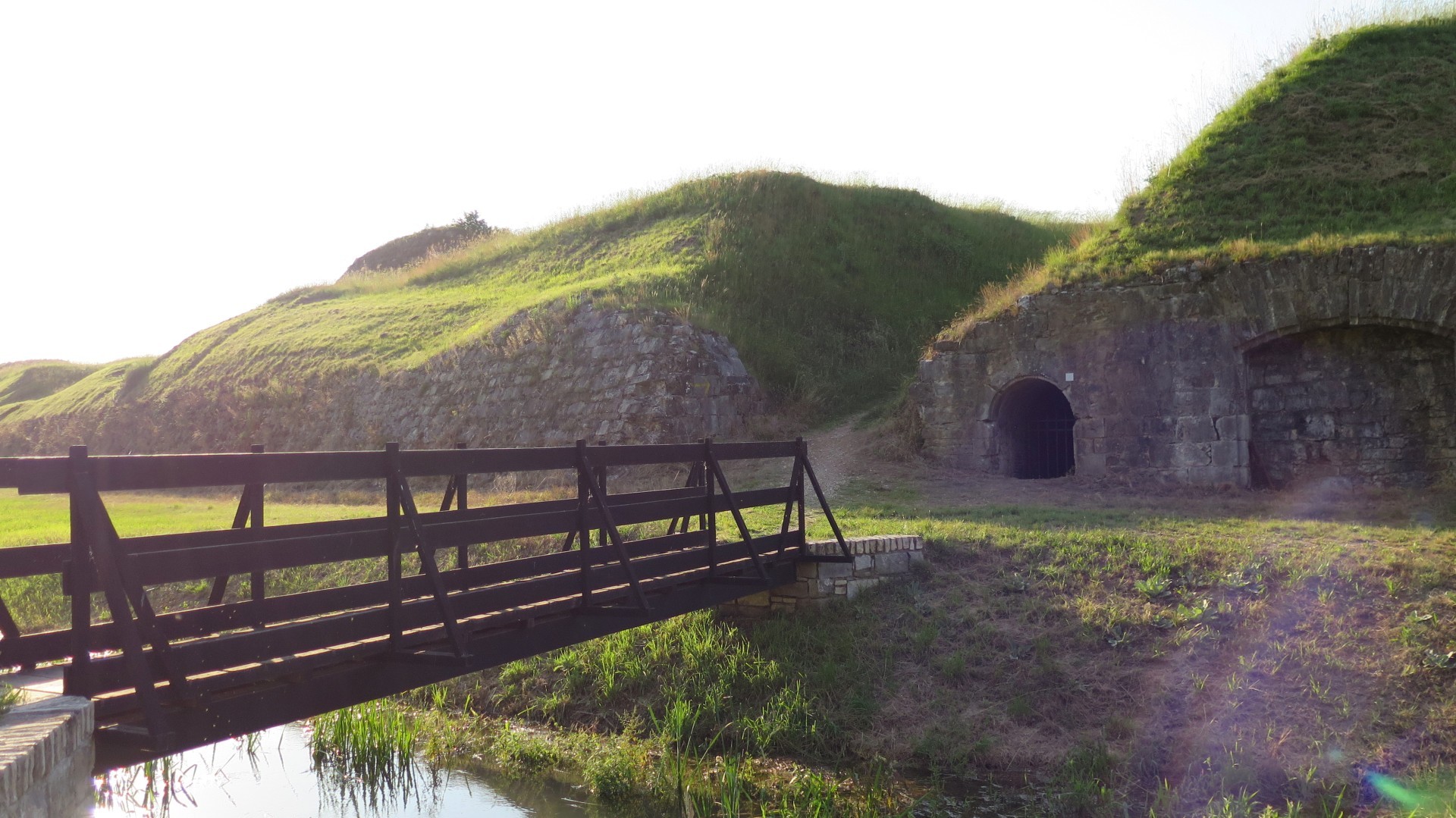
Short loop: the track that we did and we reported in this page is very simple and short; it goes through fortress perimeter just only one time on a good path for mountain bike. This is the structure of the external of the city: around of the fortress walls, externally, there is a dirt road that run along the moat, some meters below the plain level. After, crossing small bridges and trails, you go up to the plain fields and lawns. The first trail that you find is the path - the one described here and available for navigator. Going farer, you find a dirt road and after a tarmac road; a strange road, with a 9 points star shape, as the city.
All the tracks are on ground and gravel, fully on dirt road except the 3 intersections with the main roads, corresponding to Aquileia Gate, Udine Gate and Cividale Gate, entrance and exit of the fortress walls. This choice is 5 km, with 30m of elevation gain.
Long loop: there is also a long version of this page track, with a 23km length and 100m of elevation gain. Even if is longer than the short loop, it makes only one city loop with a lot of ramps and descents. This trail is based on the 16th edition (2016) of "Bastioni by bike" ride organized by Gruppo Bastioni Bike. Note, this event is at Spring begin, so the trail is feasible for some months. This track is not guaranteed for all the year.
Departure is in the main Palmanova square, you find the navigator track in this archive.
Taking about cycling topic, the track is quite all on a trail; that's not so wide but is well kept, with no holes, jumps and so on. There are some small uphills and descents, mainly for passing from the trail to the most inside road, close to the fortress walls and the canal. Close to Aquileia Gate, there are some bumps where you can jump. Anyway, the path is not for playing with mtb, but for explore the walls of Palmanova.
This track is 5 km long with 30m of elevation gain or 23km long with 100m of elevation gain, this second options is not accessible during all the year. The track contains a lot of trail and small roads parts. Of course, you can repeat the city perimeter how many time you want, running on different choices.
Track's picture and video
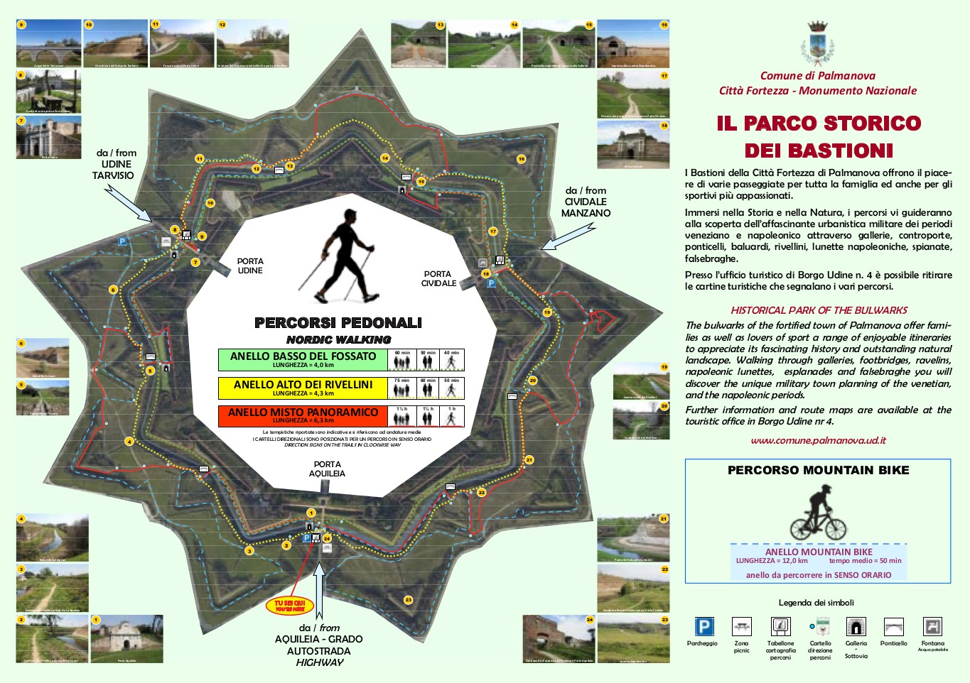
The map of walking and cycling routes at the Palmanova walls.
You can download the (Italian) guide at this link.
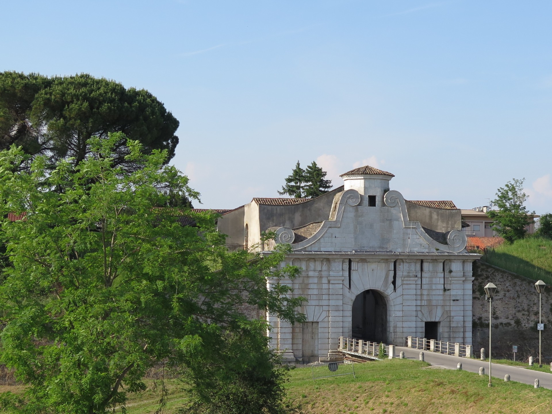
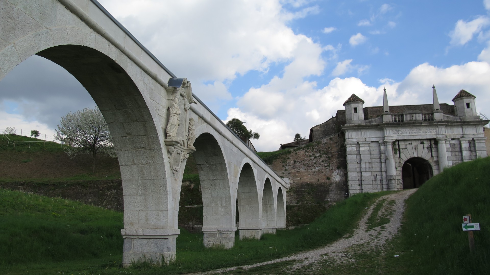
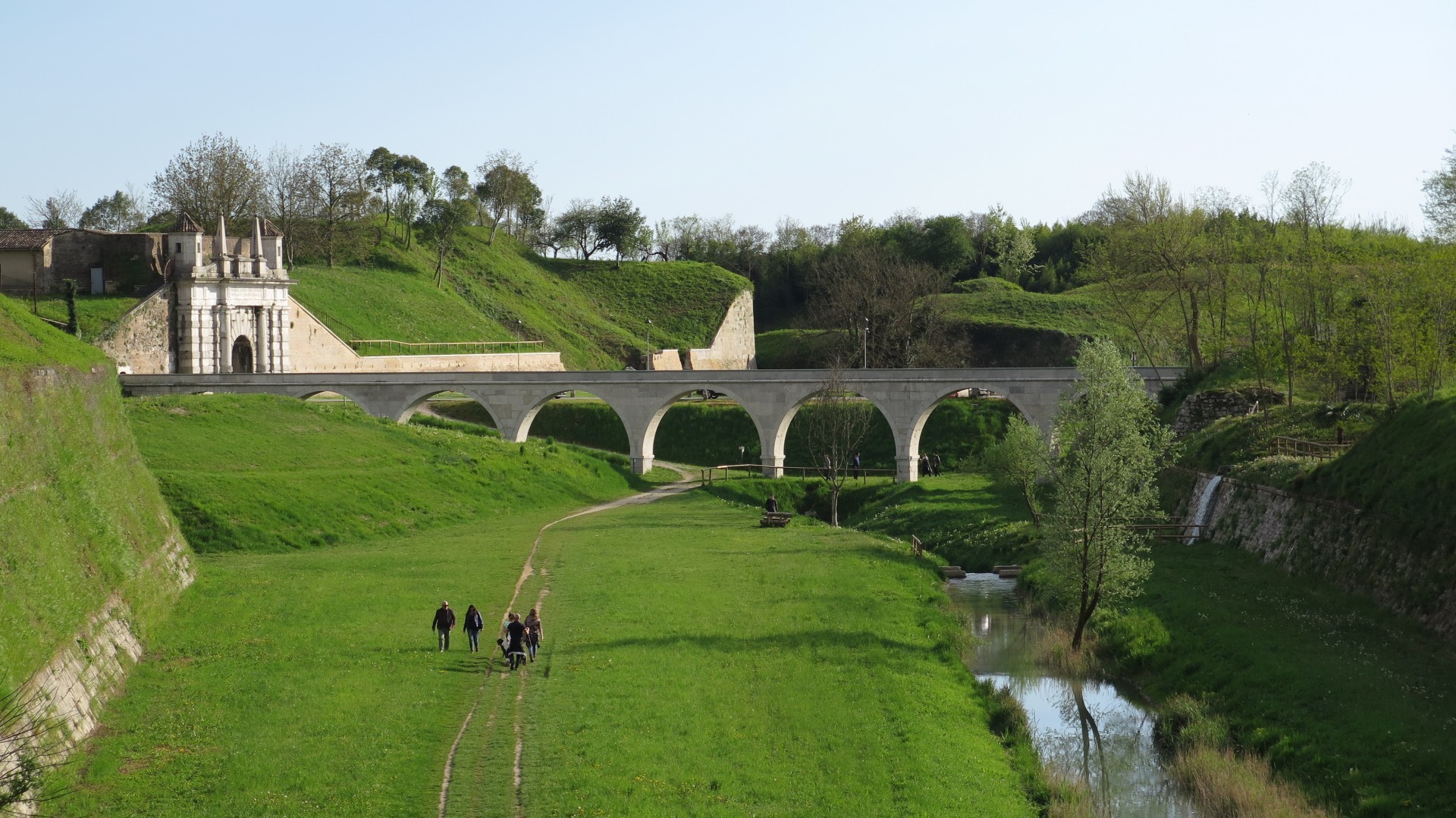
Aquileia Gate.
Parking and starting point of short loop.
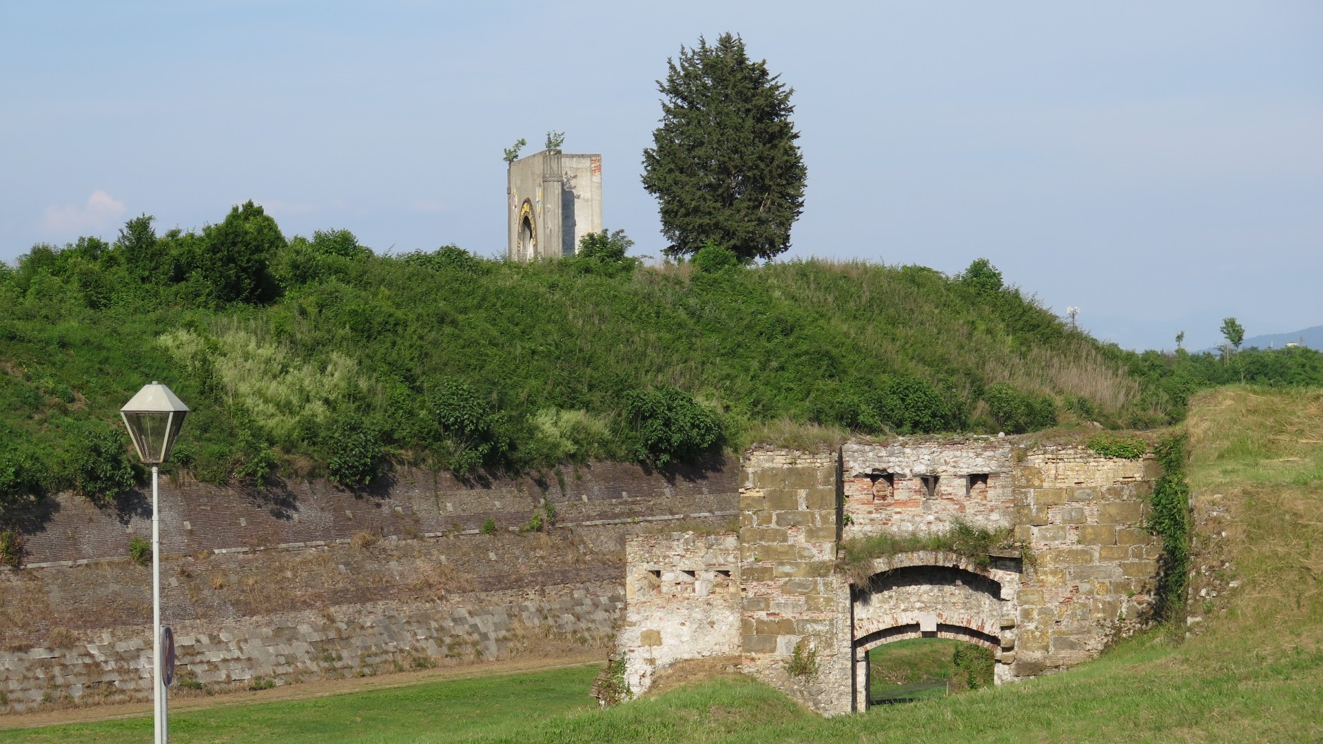
Secondary access gate to the fortress.
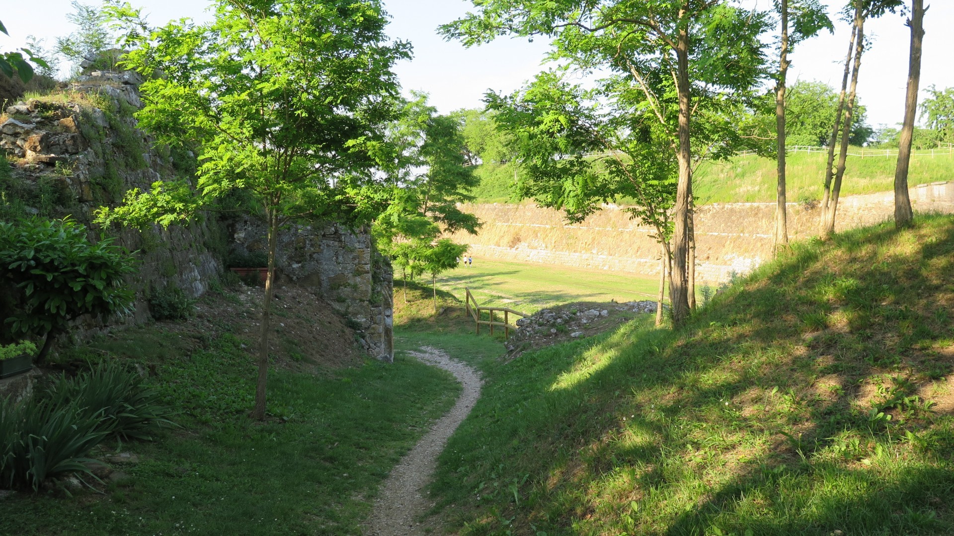
Passing through point in the track.
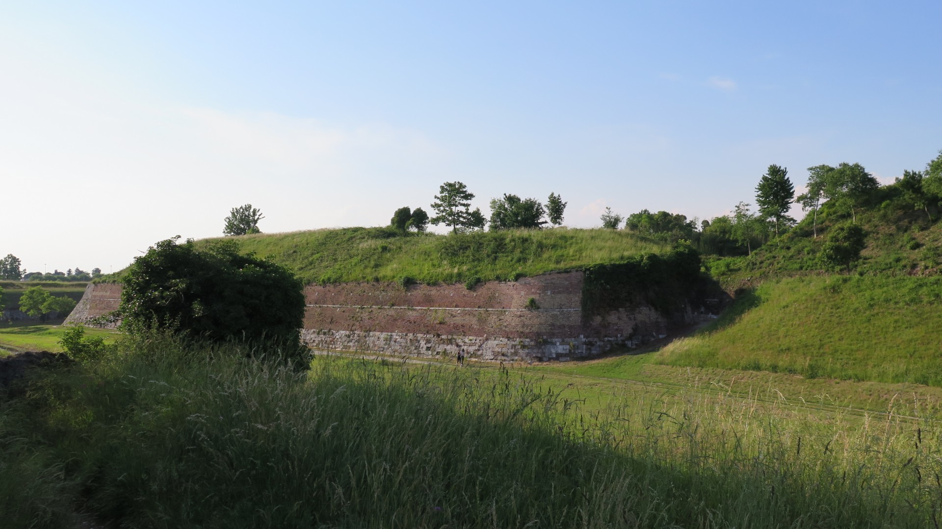
The walls of Palmanova.
Below, the internal dirt road.
Part of the path close to Aquileia Gate.
An uphill, descent, curves mix.
Udine Gate.
Venetian Water Main on the left.
Close to Cividale Gate.
Trail part on the upper walls section.
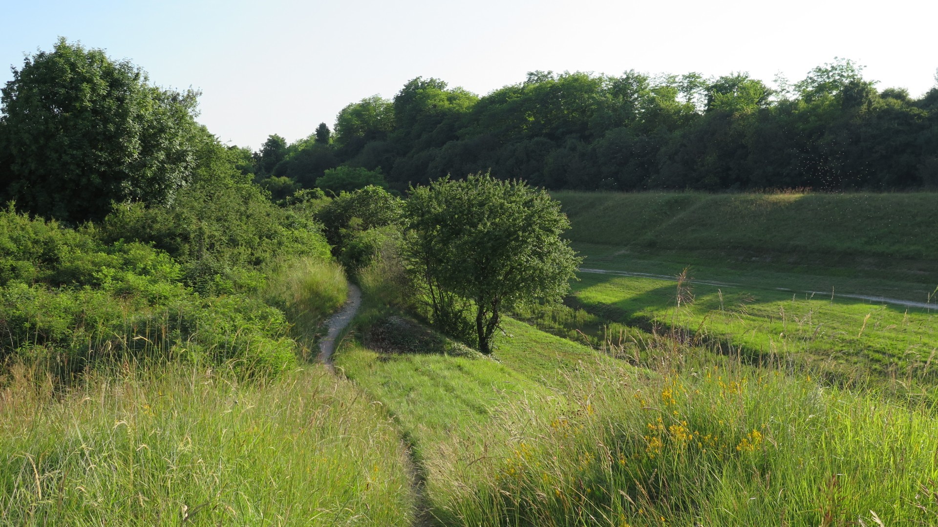
Into the moat.
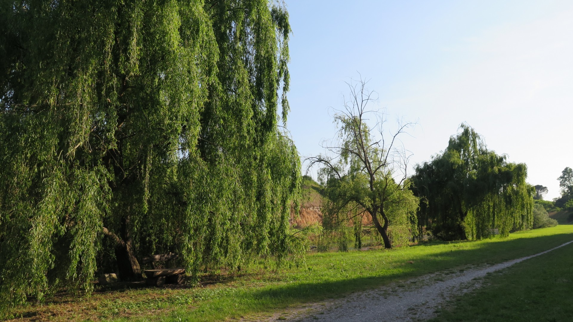
A river alongside the woods.
North-West side, the Udine Gate and Venetian Water Main.
Palmanova, Unesco nominee.
One of the passing points between path and road.
Bridge and on path uphill.


 Tabacco Map: /
 .PDF Guide
 Parking
 Track
Track