


Paths and Travels in Friuli Venezia Giulia
Camporosso
Acomizza Mount
Become a member
Paths and Travels in Friuli Venezia Giulia
Path, direction, suggestion
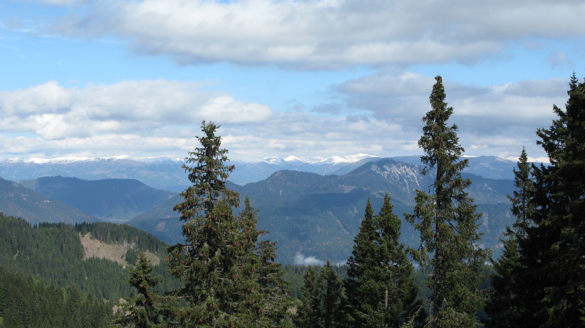
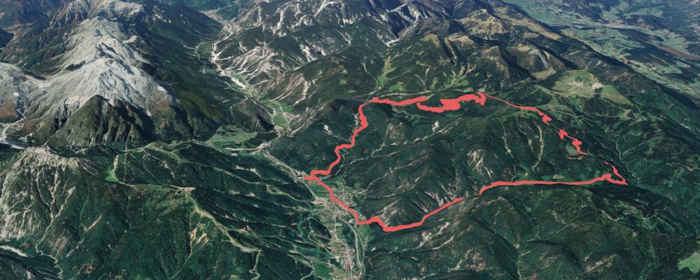
The route is close to Tarvisio town, a nice city in a tourist zone with good mountains and woods. Riding along the Camporosso - Acomizza Mount path, you'll see all the peaks of Jôf di Montasio and Mangart groups. The last one is upon Fusine village, with Ponza, Veunza and Mangart mounts; the track Tarvisio - Zacchi Cabin is just in that valley. Moreover, with good weather, you can see also the Größ Venediger glacier, in Austria.
The route starts at the park of nordic ski center in Camporosso village, as you can see from the Google Maps link above. The path contains two uphills in two different valleys and brings finally to Acomizza Hut.
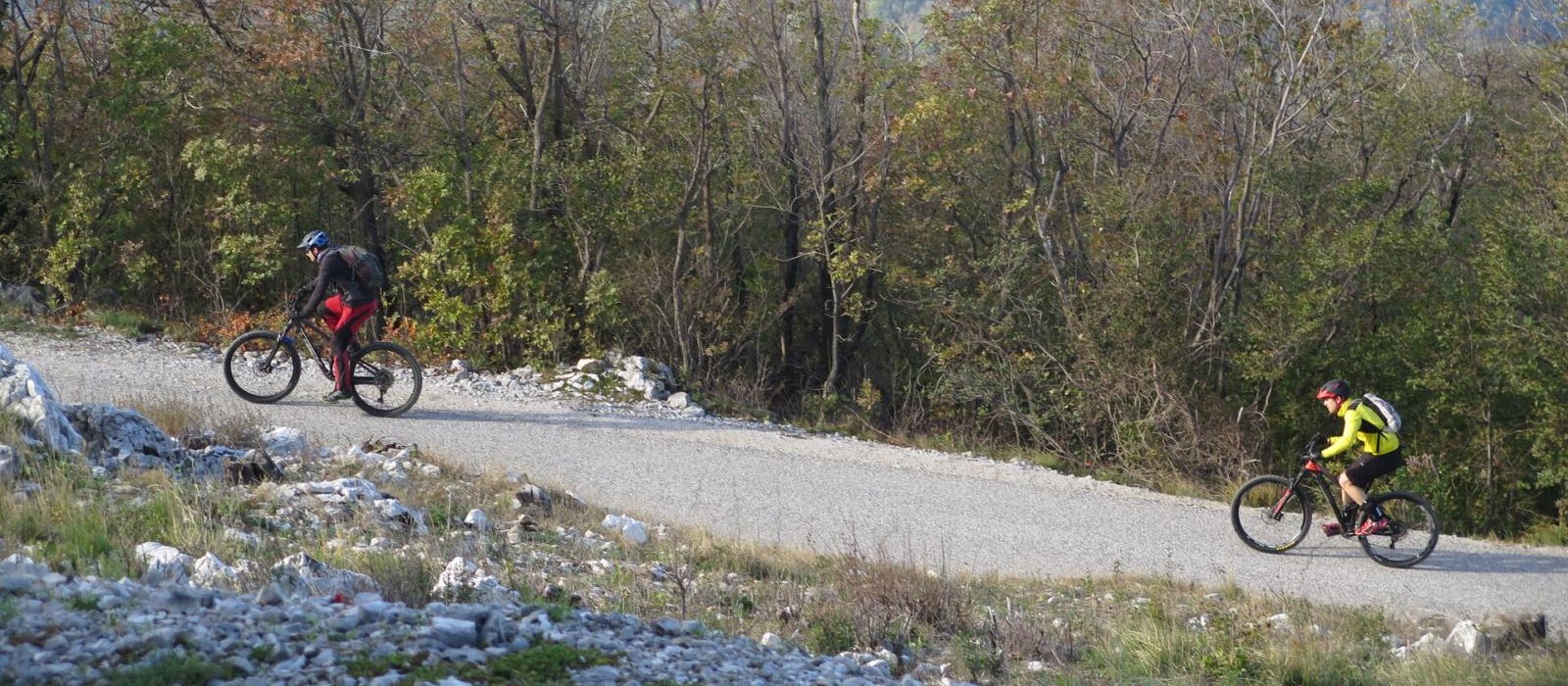
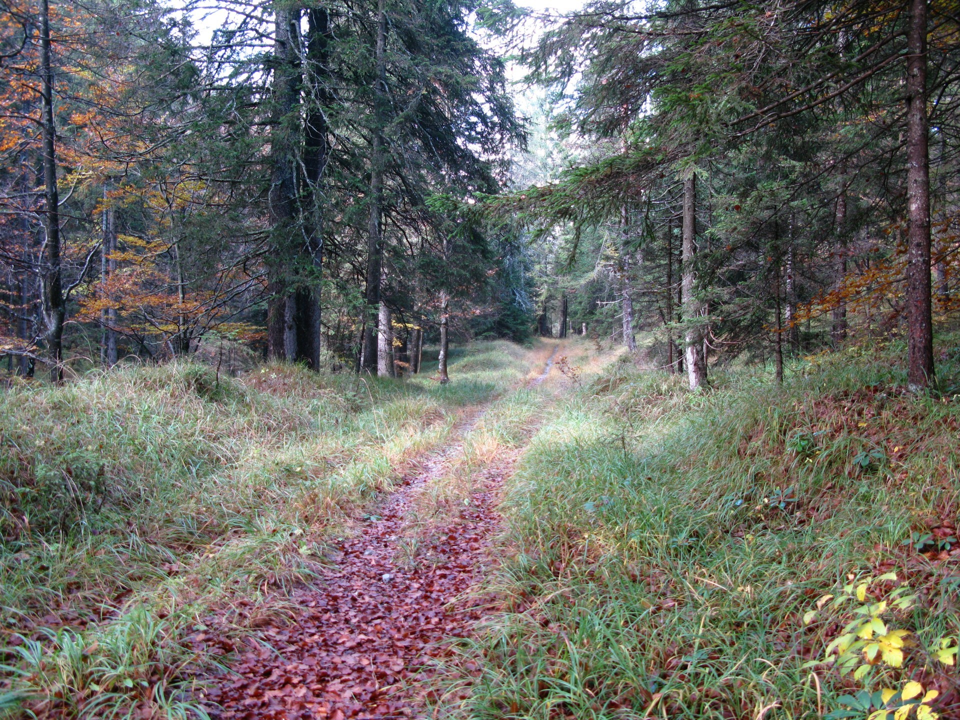
Some hundreds of metres over the park, you'll pass from tarmac to dirt road, which kindly receives the bikers with a high slope begin uphill. Passed this few hundreds of metres, the road returns to plain, crossing lawns and woods. One of the uphills is shown in picture number 1: plain parts followed small rises. Going on, close to Sella di Vuom (Vuom Saddle), the uphill slope increases and the road bottom has a lot of gravel: some small parts must be done by feet.
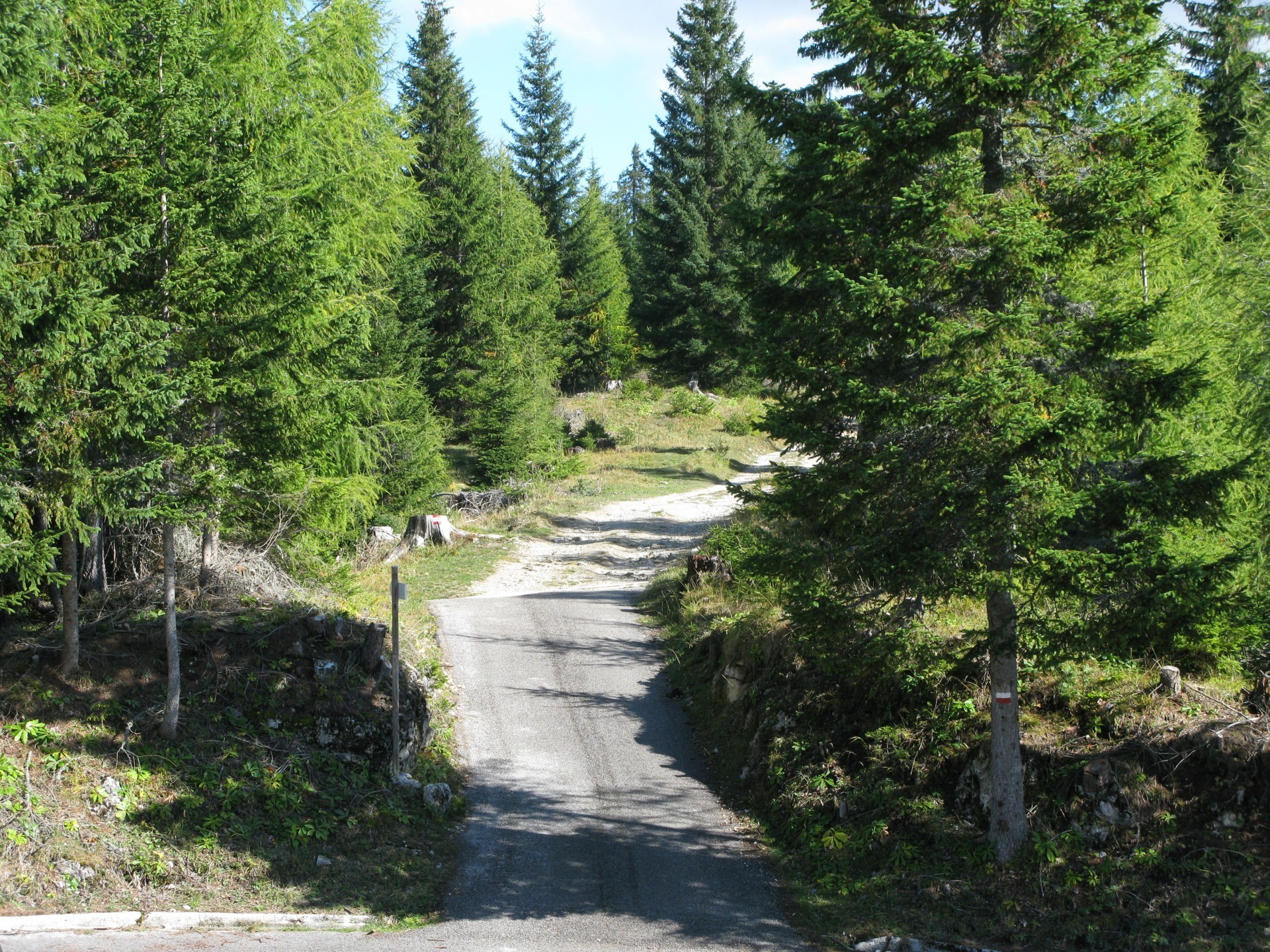
After, there's descent on a dirt road, with high slope but not big difficulties. You'll reach then a tarmac road that you'll ride for about 200 metres, passing a bridge and taking than the road on the right, that will bring you to Acomizza Hut. This road is in tarmac up to the church, 1600m high, about 1 km before the hut. Anyway, is blocked for cars, has a good bottom and a uniform slope. Reached the church, you'll go ahead on a dirt road which has definitely a not uniform slope, differently to the tarmac road. In a few minutes you'll arrive to Acomizza Hut.
At the end of the uphill, you'll be surrounded by a very nice landscape: it deserves a break. The navigator route proceeds on the descent of the same road, anyway it's possible to go to the Oisternig Cabin, all on gravel road.
The descent is all on dirt road, with best bottom and good slope, you could run! In the middle of the descent you'll pass over a saddle and reach the Bartolo Valley, with a very nice surrounding. In a short time you'll arrive to Camporosso village; crossing it, you'll reach the starting point.
Note: The first part of the descent (from Acomizza Hut to Bartolo Valley saddle) is in Austria, into a private ownership.
It cannot be travelled in summer, it crosses an animal farm.
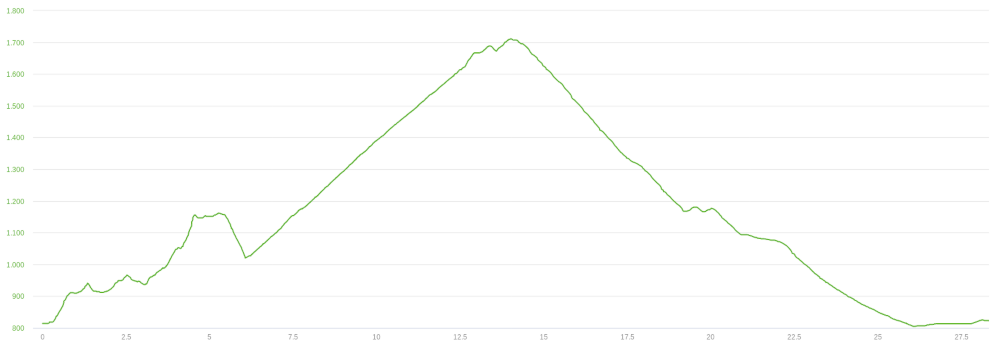
The suggested/constrained periods for this route are Spring and Fall. The hole track is 28km long with a 1150m altitude gain.
Track's picture and video
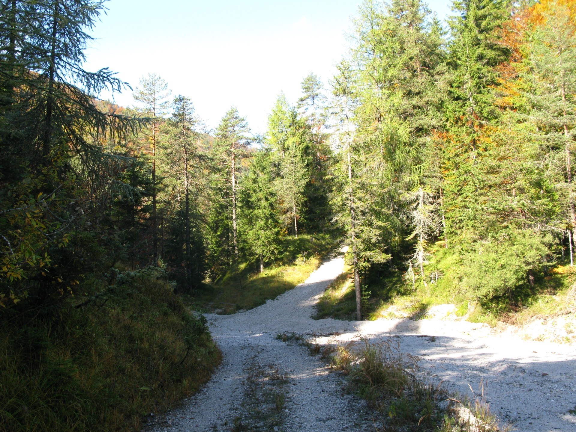
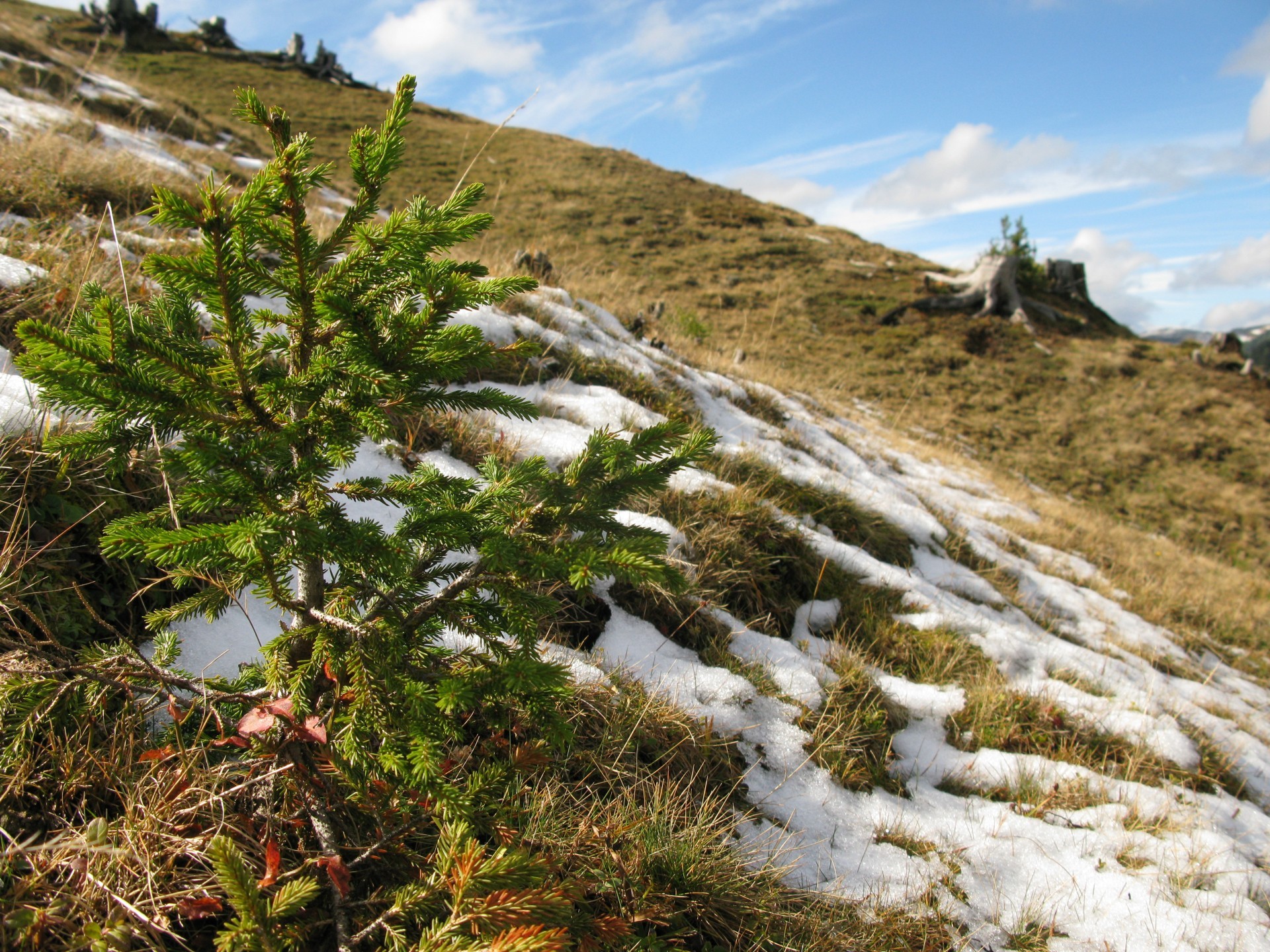
You'll cross a small stream during the first uphill. The bottom is in gravel and you can have problems trying to do that by bike.
Anyway, the main reason why the picture is posted, is that you can see how the road is: quite plain parts followed by steep rises.
End part of the first uphill, about at 1100m altitude.
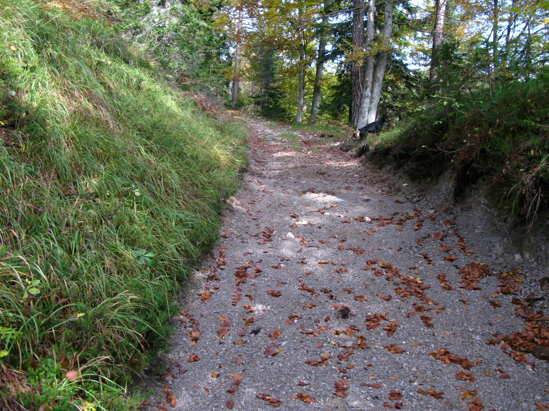
The slope rises and the road can't be run by bike in some small parts cause the bottom.
Arrival to Sella di Vuom (Vuom Saddle), 1162m.
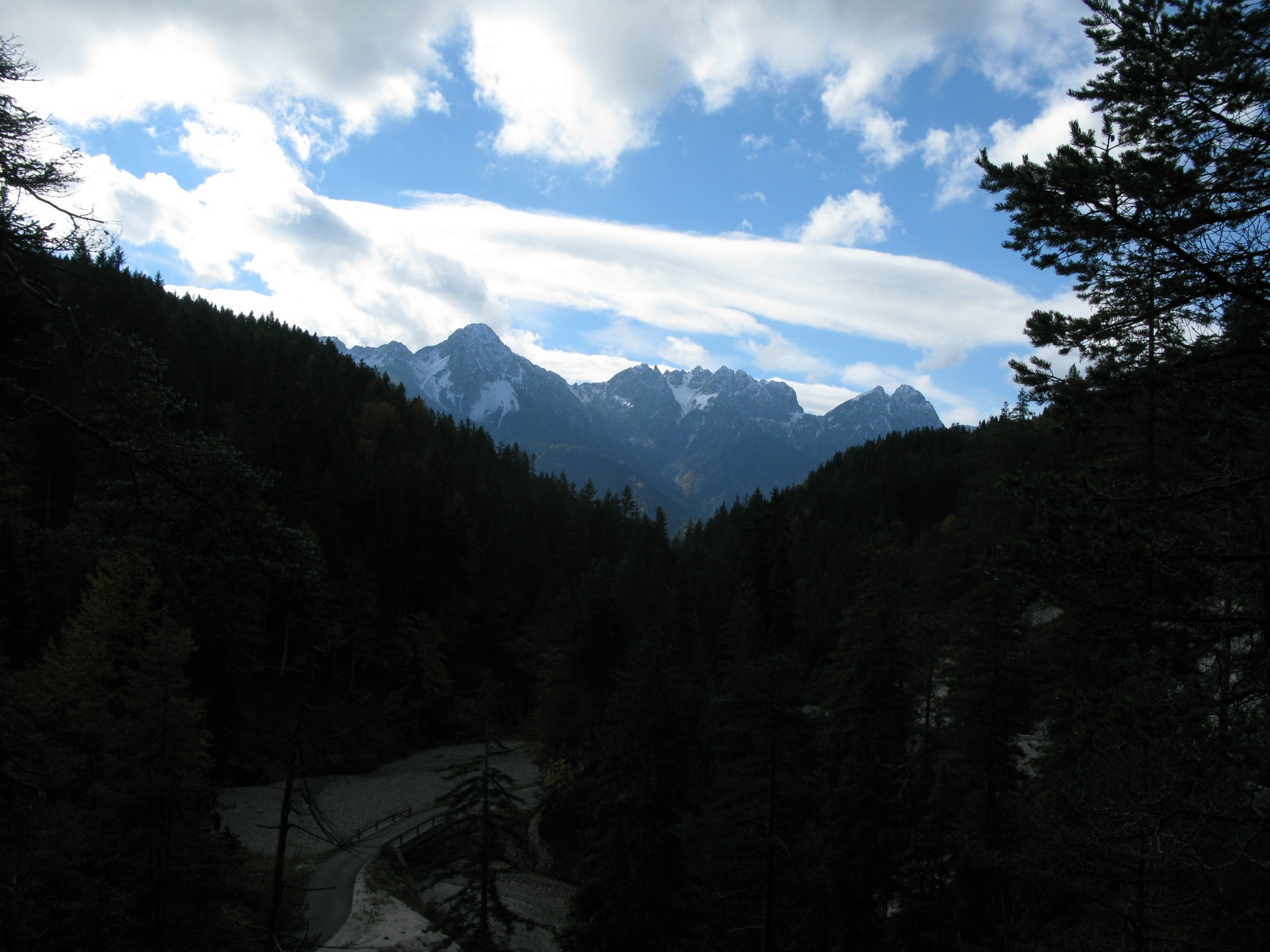
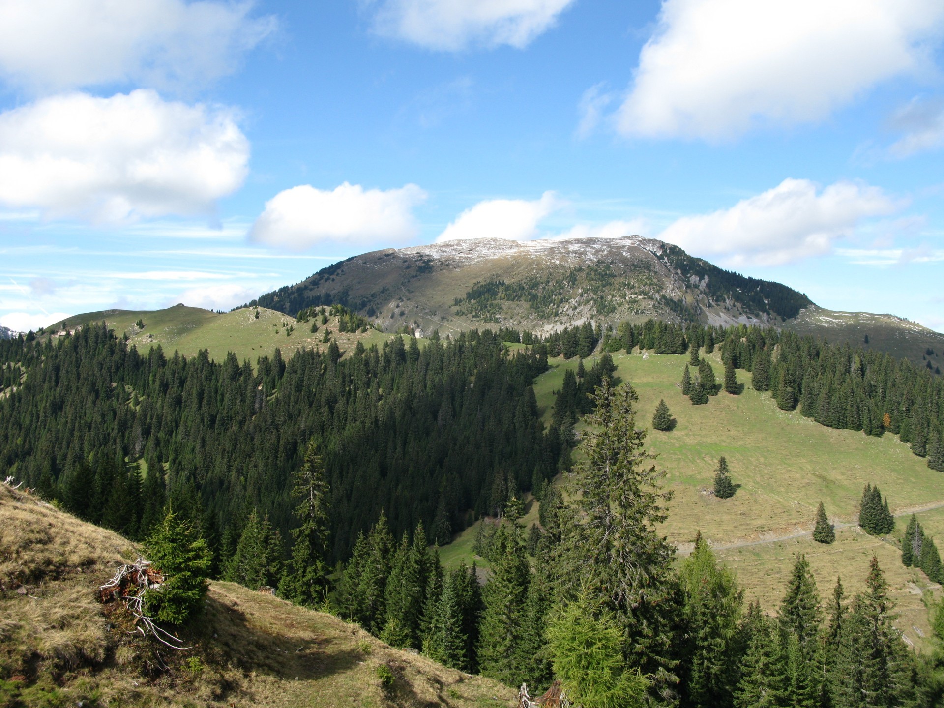
Great landscape from the second uphill.
From left: Jôf di Miezegnòt, Piper Mount, Due Pizzi.
During the second uphill.
At 1600m altitude you arrive to the church, where the dirt road to Acomizza Hut begins.
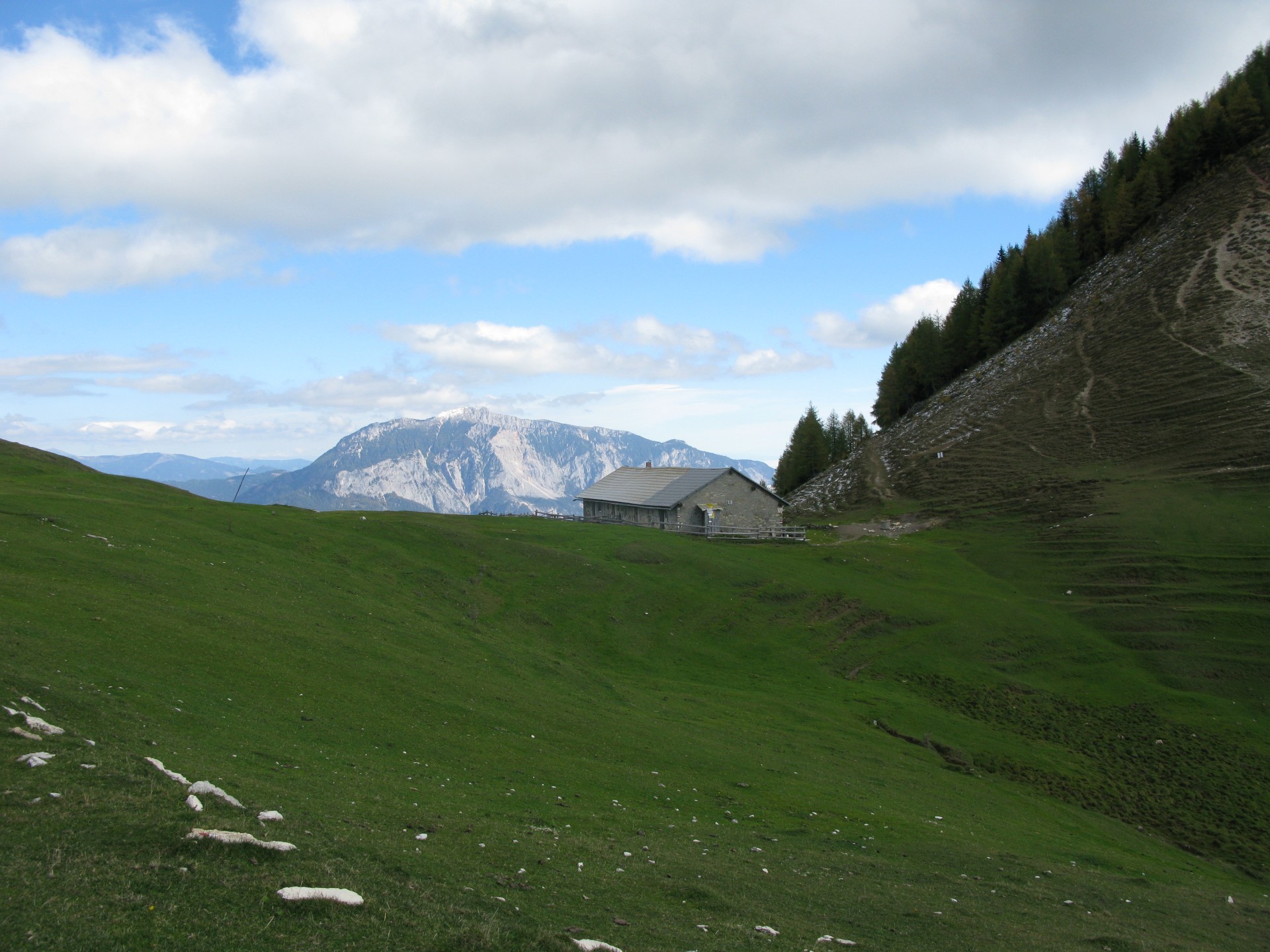
Acomizza Hut.
During summer it curries its hut role on, so it's suggested to make this route in Spring or in Fall seasons.
Satisfied purpose.
Found the snow at half of October month (when this track was done).
Osternig Mount.
At Acomizza Hut, the break point, you can see a nice landscape.
The glacier is on Größ Venediger Mount, Austria.
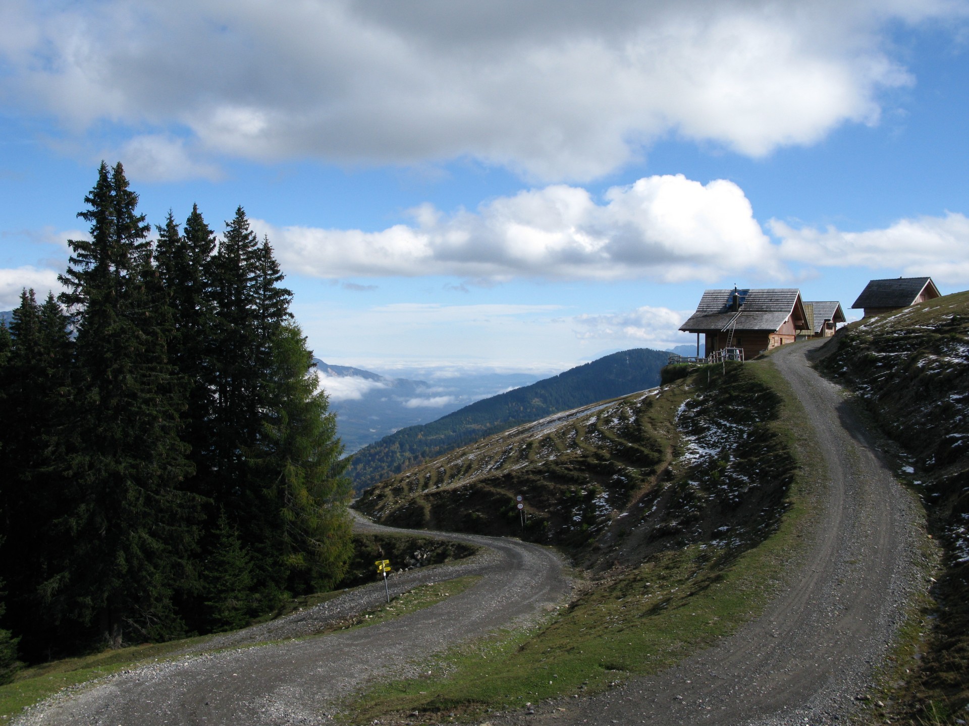
Acomizza houses and the descent begin.
The descent is on a private road, read the page description.


 Tabacco Map: 19
 .PDF Guide
 Parking
 Track
Track