


Paths and Travels in Friuli Venezia Giulia
Tarvisio
Zacchi Cabin
Become a member
Paths and Travels in Friuli Venezia Giulia
September 13, 2013
Zone: 
Physical effort:: 
Technical effort: 
 Tabacco Map: 19
Path, direction, suggestion
The route starts in Tarvisio city, in a few minutes you'll be inside the wood, famous for the centuries-old conifer forest. After that, you'll run along the two Fusine lakes, reaching finally the Zacchi Schelter. The descent is along a funny trail that brings first to Fusine upper lake and than to the starting point, on a route different to the uphill one. The route crosses landscape awesome zones, mainly the panorama at the begin of the valley, where you can see Ponza, Strugova, Veunza, Mangart Mounts.
The initial part of the track is on tarmac road, just to have some minutes to warm up. Soon after the begin, you connect to the bike path that goes from Tarvisio city to Fusine di Valromana village. The route turns so to the Aclete village, having two hairpin turns before and going ahead after on a dirt road. The uphill reduces than the slope, becoming later a descent to Alpe del Lago Hut plain, where another uphill begins. This is the dirt road that brings to Zacchi Cabin. It doesn't have hard slope, the bottom is very compact.
The trail that takes to Fusine upper lake starts in front of the refuge. The trail, especially in the high part, has a lot of steps. It can be run, but requires bike such as all-mountain mtb and a good experience. Anyway, the trail can be avoided coming back on the uphill road, joining the navigator track close to the upper lake. The low part of the trail has a good bottom, more compact, where you can have higher speed. There are some small ways with steps, not travelable by bike; anyway, 20 metres by feet on the hole route are not so bad.
The path drives to the lake, very nice landscape; going on you'll return to the previous uphill. At a certain point, the trail turns right along a trail/road where you'll have to pay attention, especially in case of a wet bottom. This route reconnects to the bike path and, turning left, you'll arrive to Tarvisio city, the starting route point.
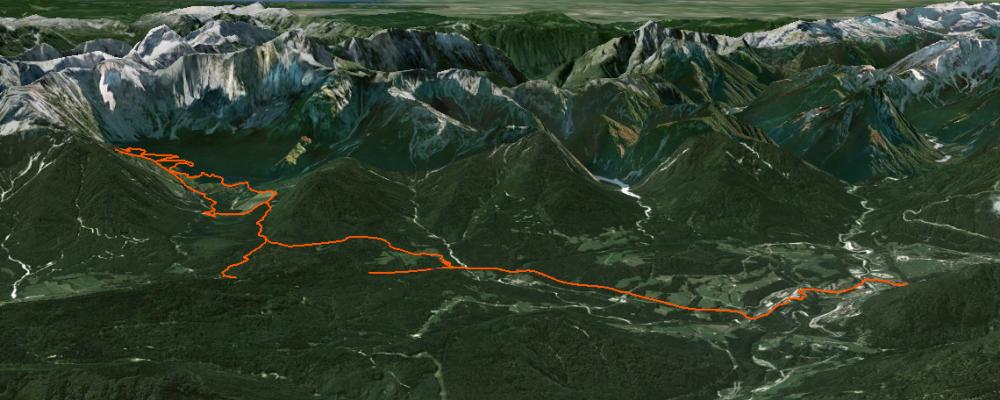
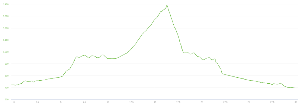
The route is 30km long with a 850m of altitude gain. The path difficulty is mainly on the two trail parts, that you can avoid coming back on the same uphill road.
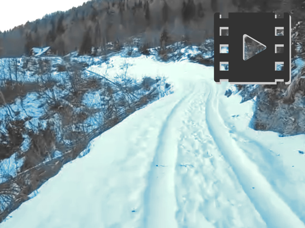
Track's picture and video
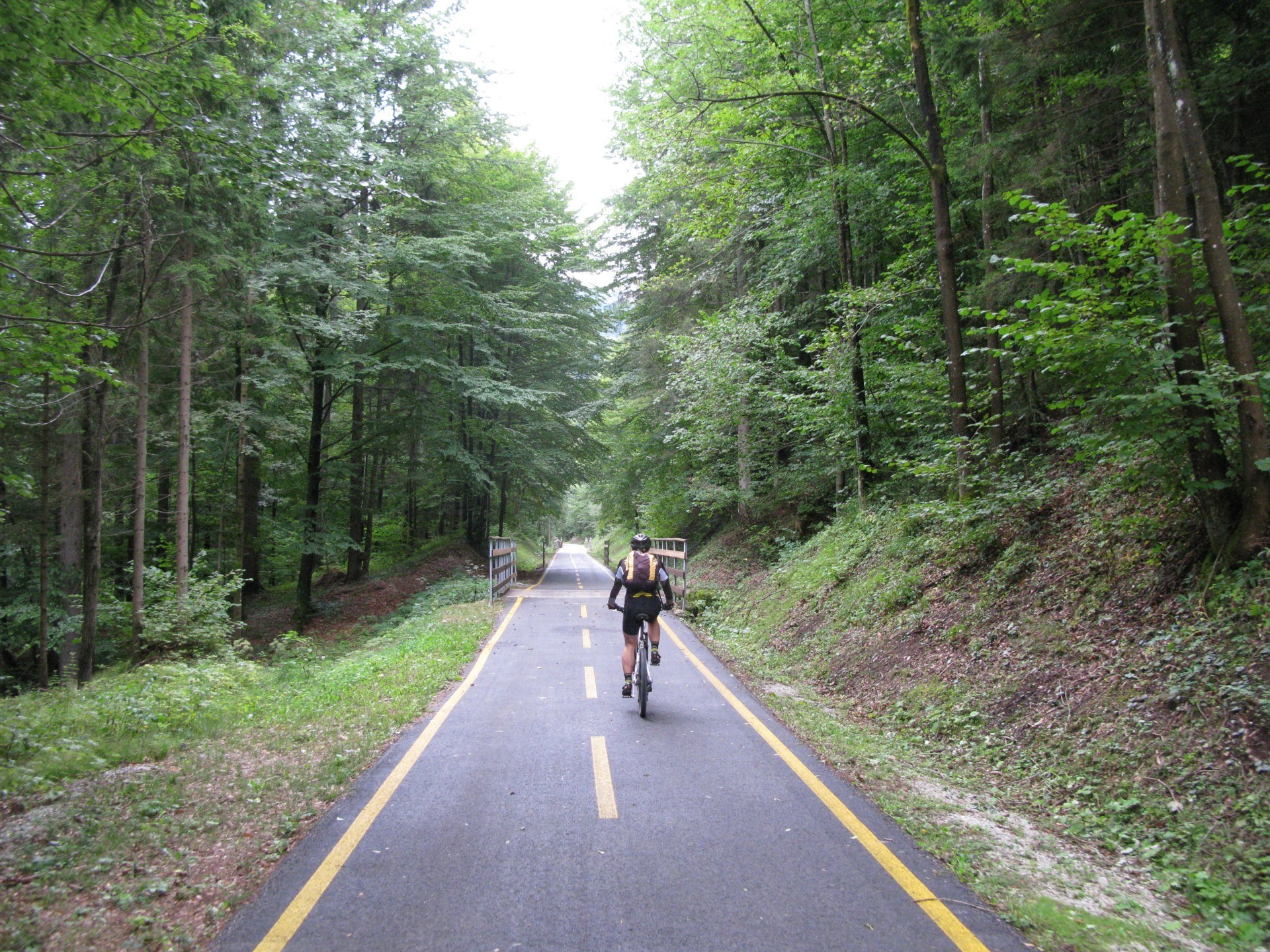
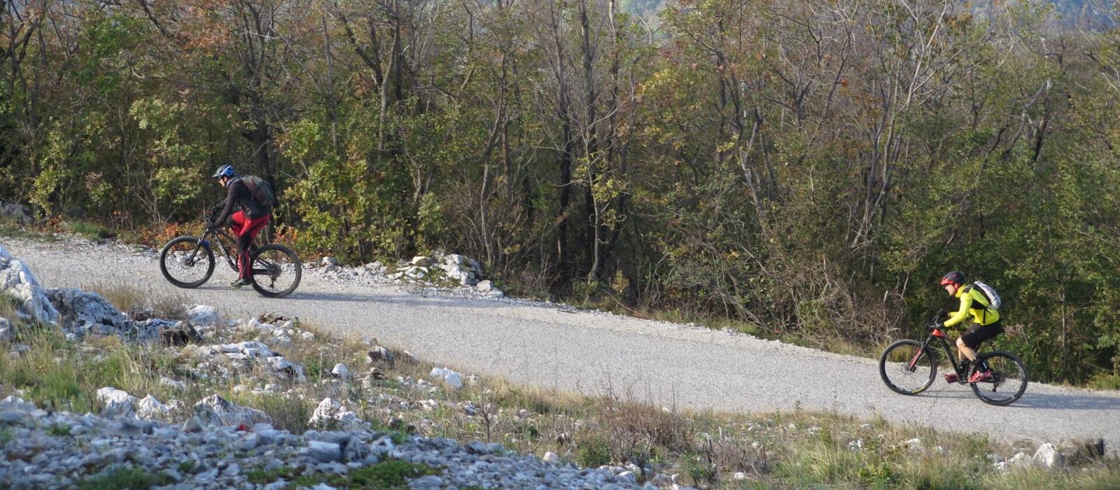
The first part, on bike path.
The path is a part of the Alpe-Adria bike trailway.
The end part of the uphill, close to the Fusine upper lake.
Initially, the slope is higher.
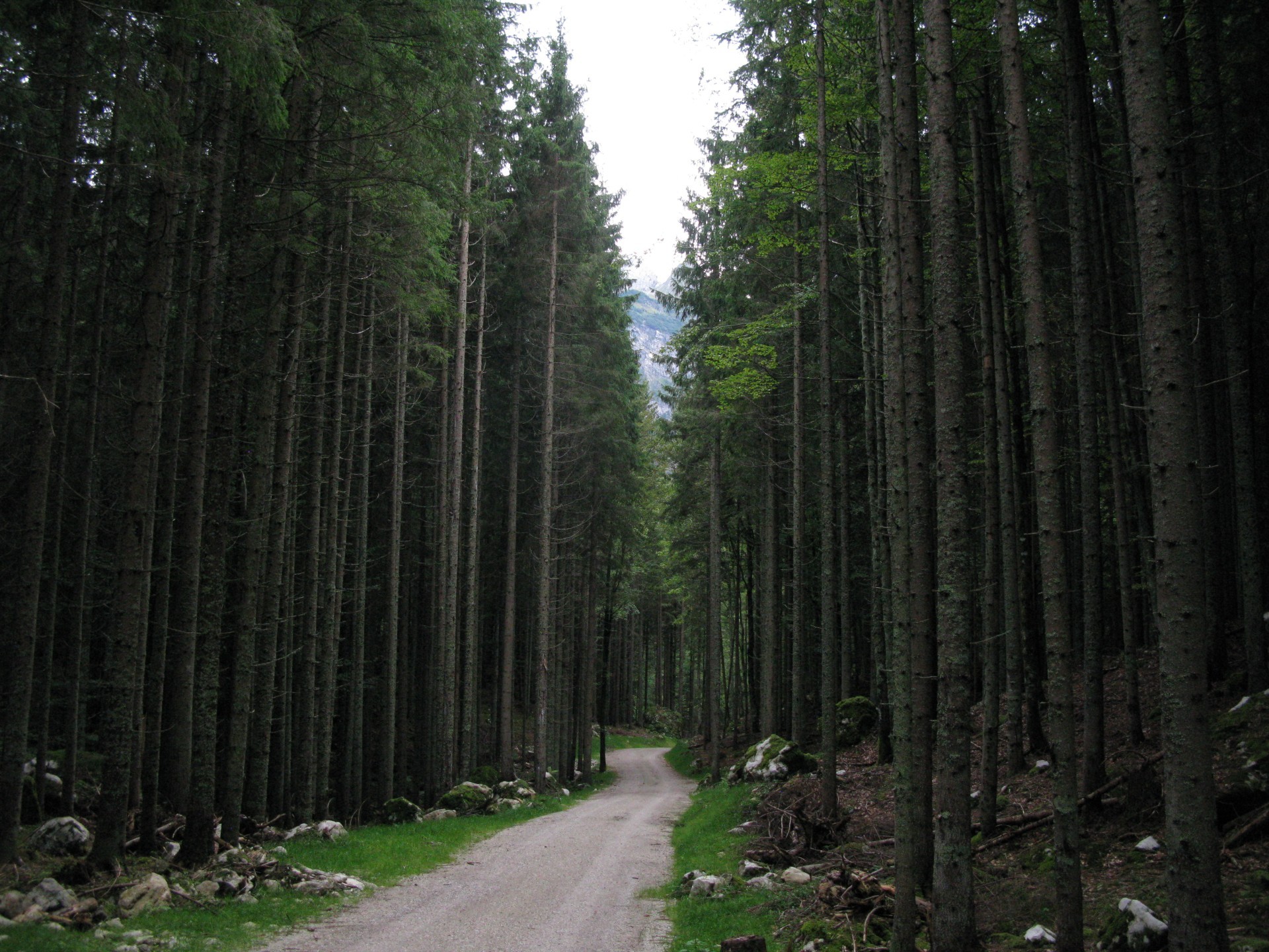
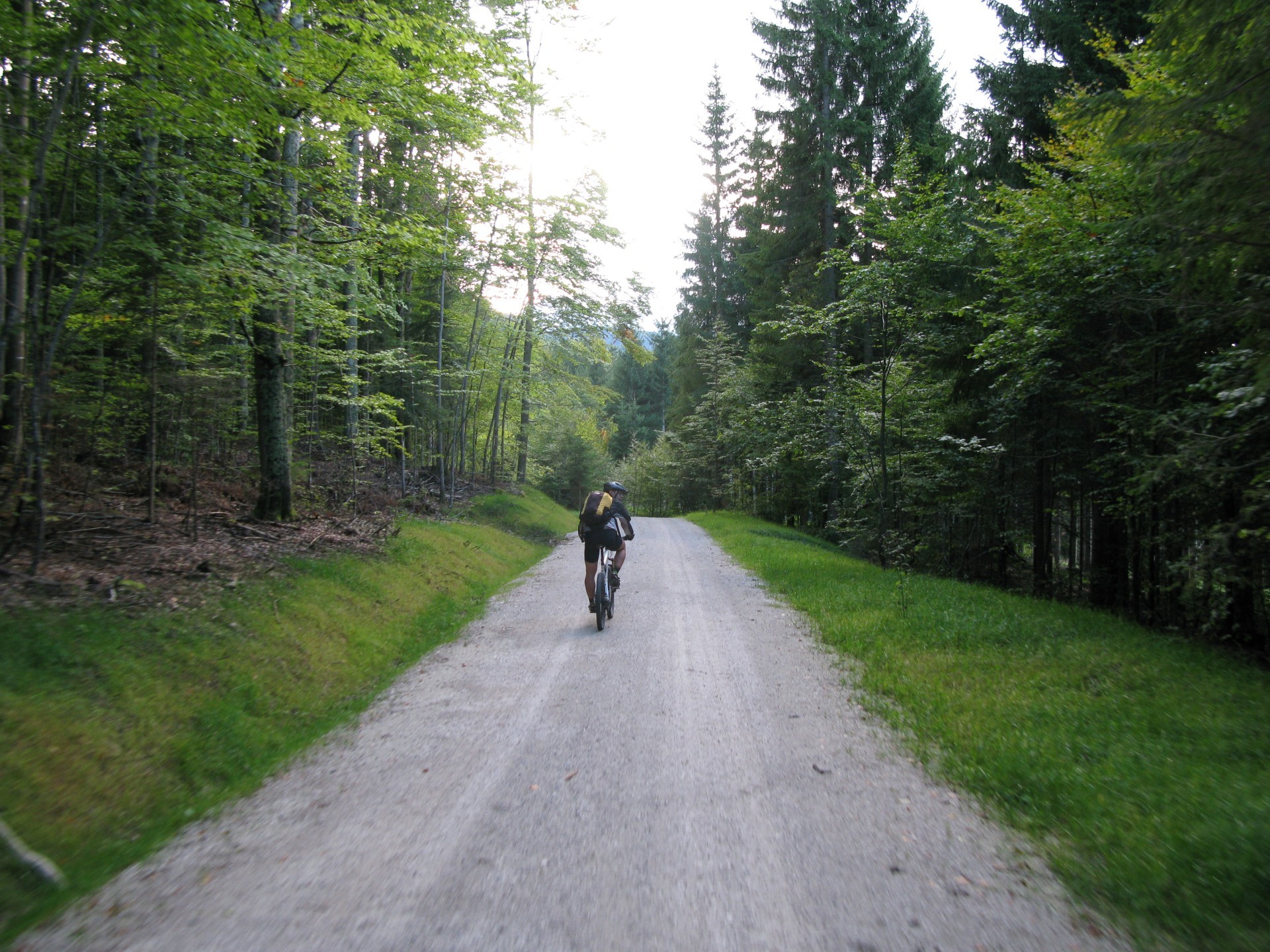
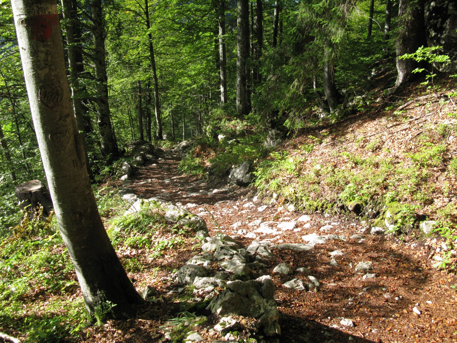
Into the wood.
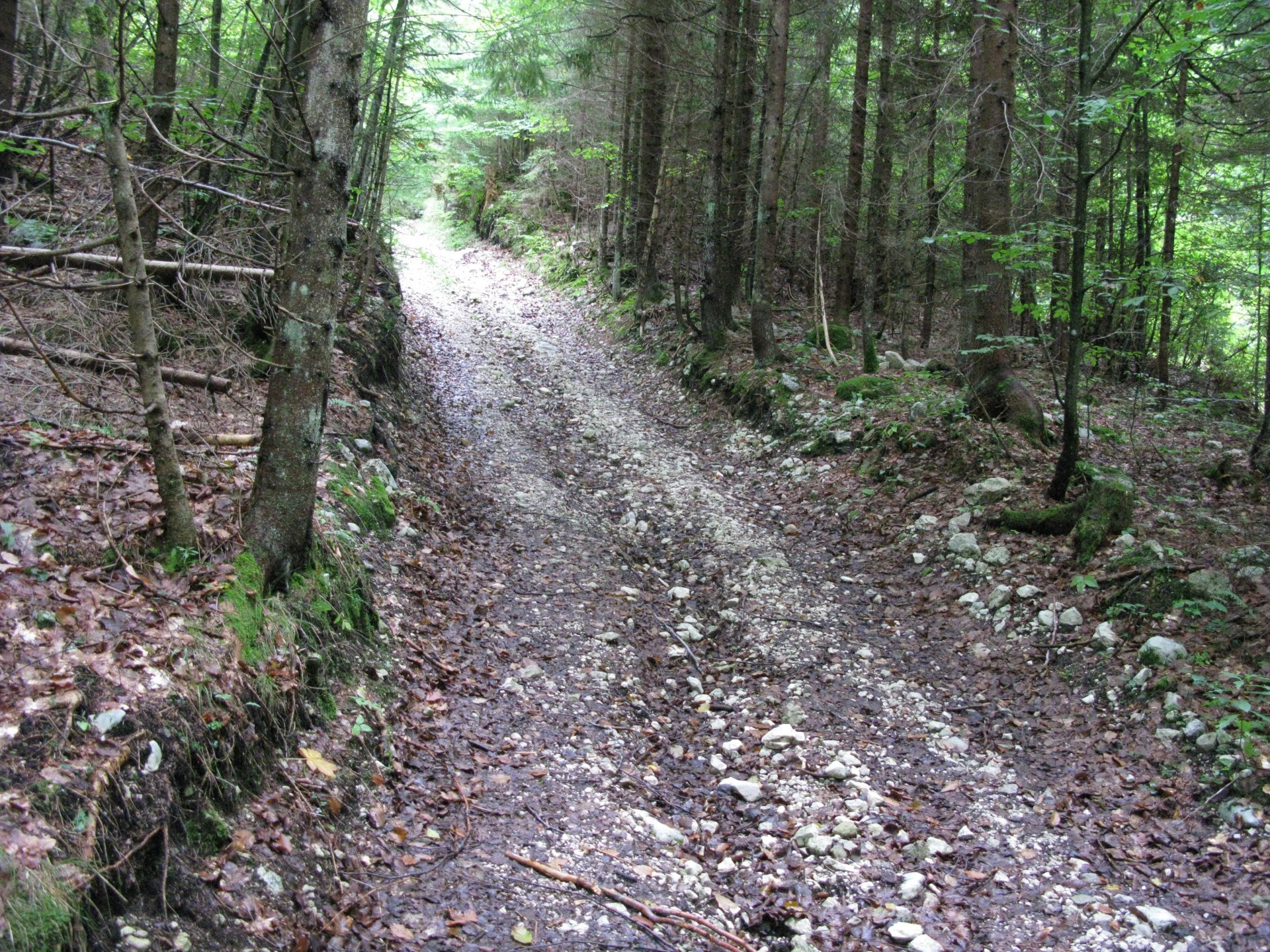
The road is easy to be traveled, both for slope and bottom quality.
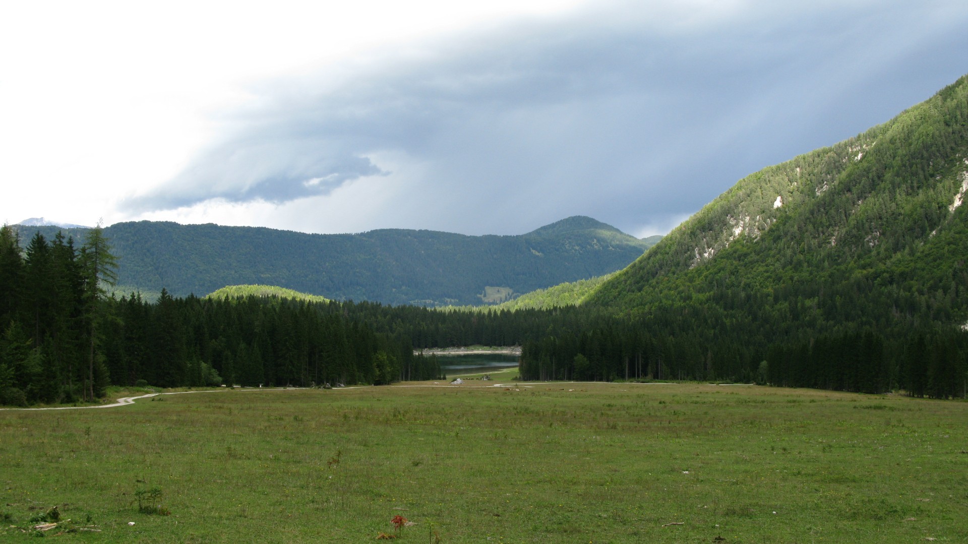
Landscape on Fusine upper lake.
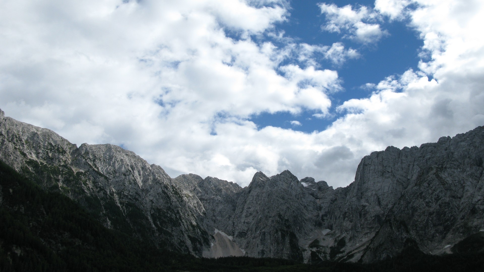
Veunza peaks group.
Together with the groups beside, it presents an awesome view.
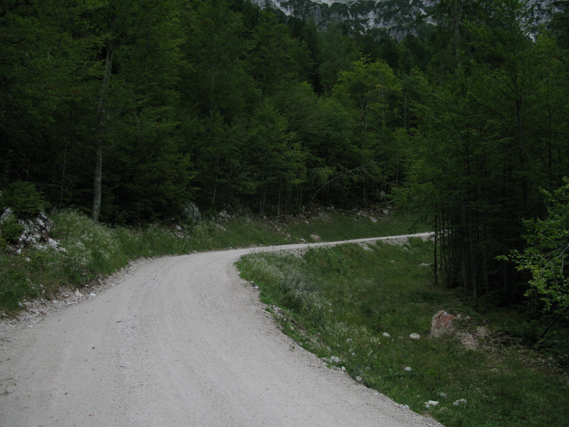
The uphill to Zacchi Cabin direction.
This uphill road has been in 2013 reconstructed, with a lower slope than the previous one.
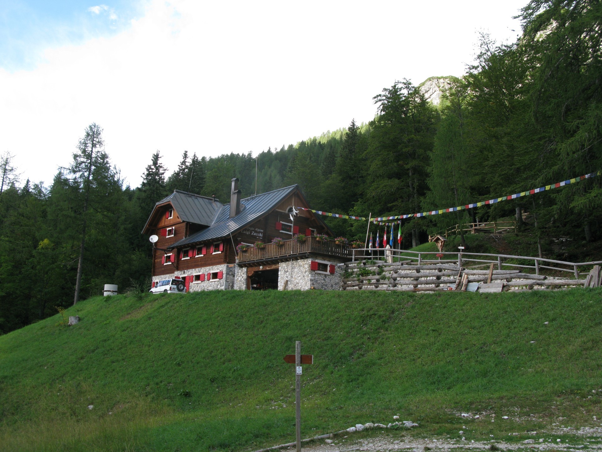
Zacchi Cabin.
It shares tables and fountains to the visitors.
Picture of the downhill trail, in the most compact bottom.
A certain experience is required.
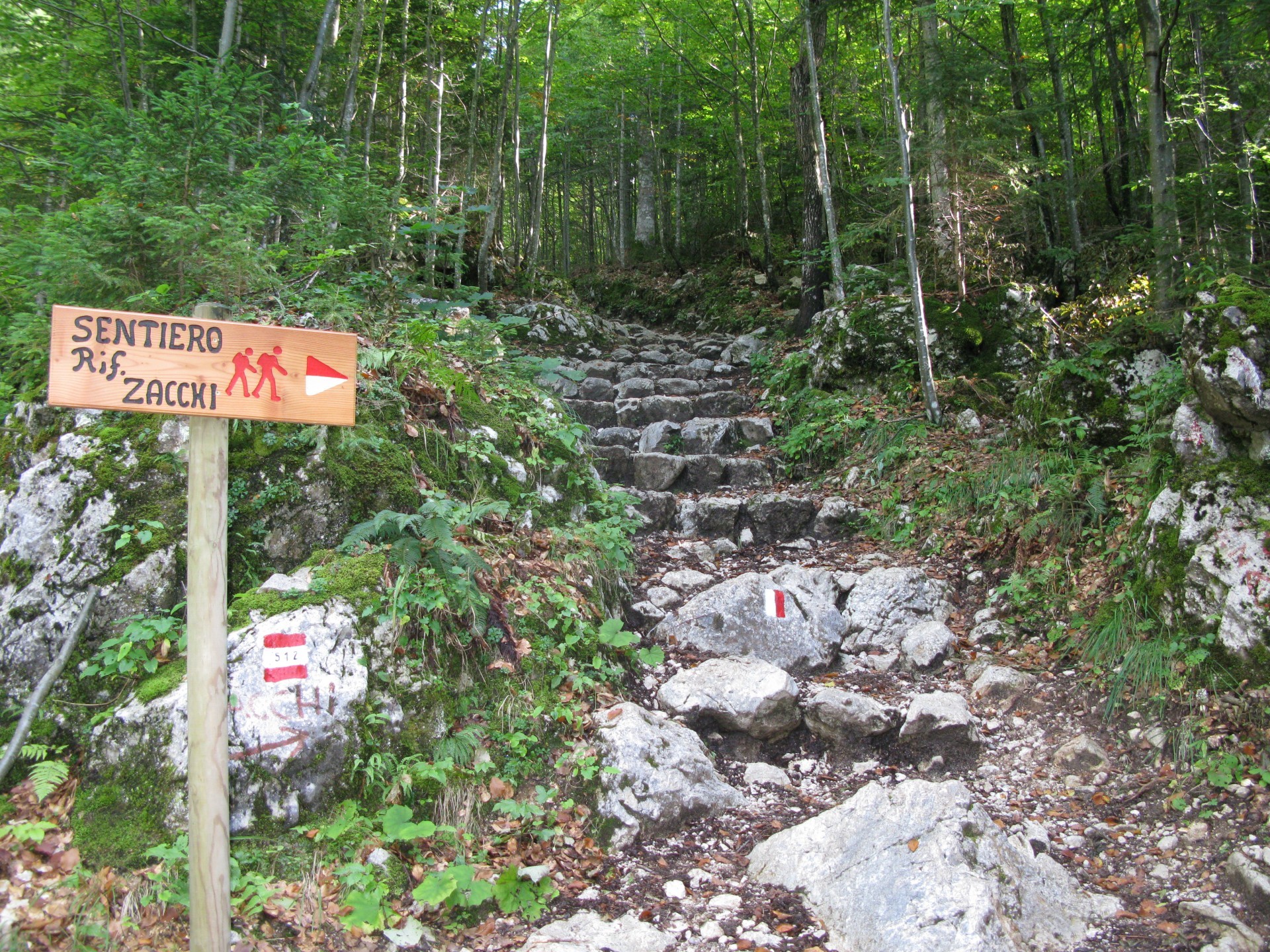
The trail end part.
There are two step parts, to be done walking.
The descent end part, where you'll reconnect to the Alpe-Adria bike trailway, done during uphill.
 .PDF Guide
 Parking
 Track
Track