


Paths and Travels in Friuli Venezia Giulia
Bartolo Valley
Feistritz a.d. Gail
Acomizza Mount
Become a member
Paths and Travels in Friuli Venezia Giulia
Path, direction, suggestion
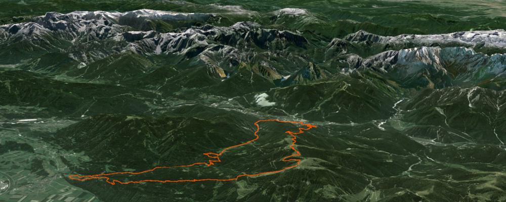
Bartolo Valley is one of the most well conserved mountain zones in Friuli region, finely proven by the show on the road that you go through. The route described in this webpage goes over Sella di Bartolo (Bartolo Saddle), trespassing in Austria, running in the Feinstritz Valley and arriving to the same name village. After, the route goes up again to Wh. Oisternig/Sella Bistrizza on a road with a landscape that pays again all the exertion done. An Italia-Austria zigzag leads to Acomizza Hut (Achomitzer Alm), where the descent starts on trail/dirt road, with parts where you can really run.
The route is into the mix category; in effect, a part of it is on tarmac road, but is only into the Camporosso village, as a connection between the Bartolo Valley (uphill) and the CAI 508 trail (descent). The rest of the track is on dirt: road or trail.
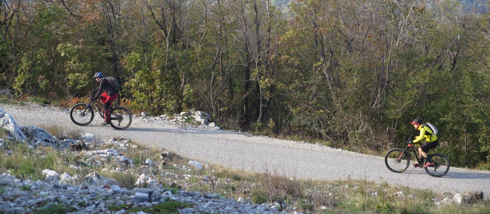
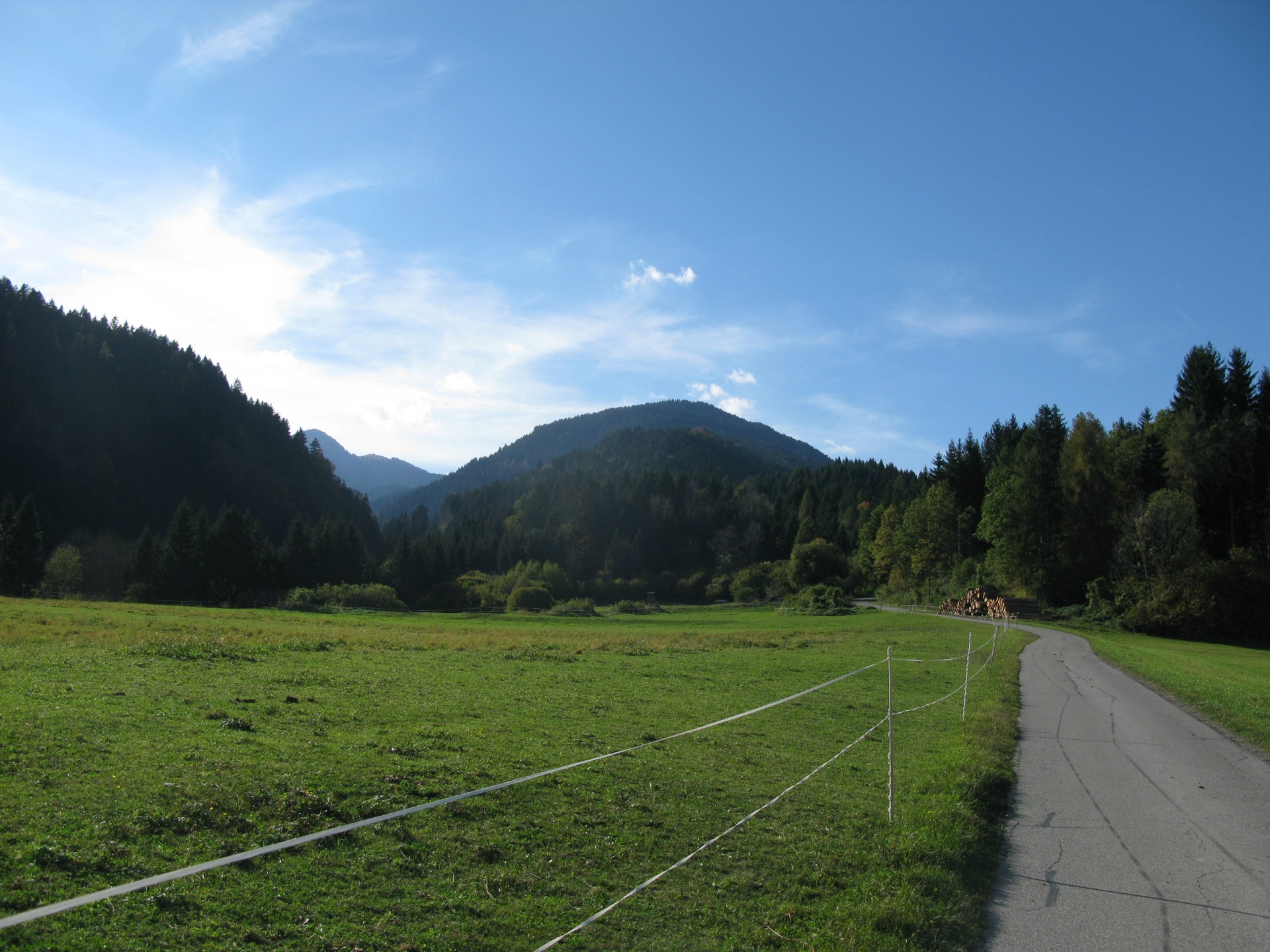
Bartolo Valley is completely covered on a dirt road, with low slope for 6km, and a short uphill close to Bartolo Saddle, Italy - Austria borderline. The road is convenient, with no high slope, perfect bottom, closed to traffic beyond the half of the valley, alongside of the stream for the main part of the length.
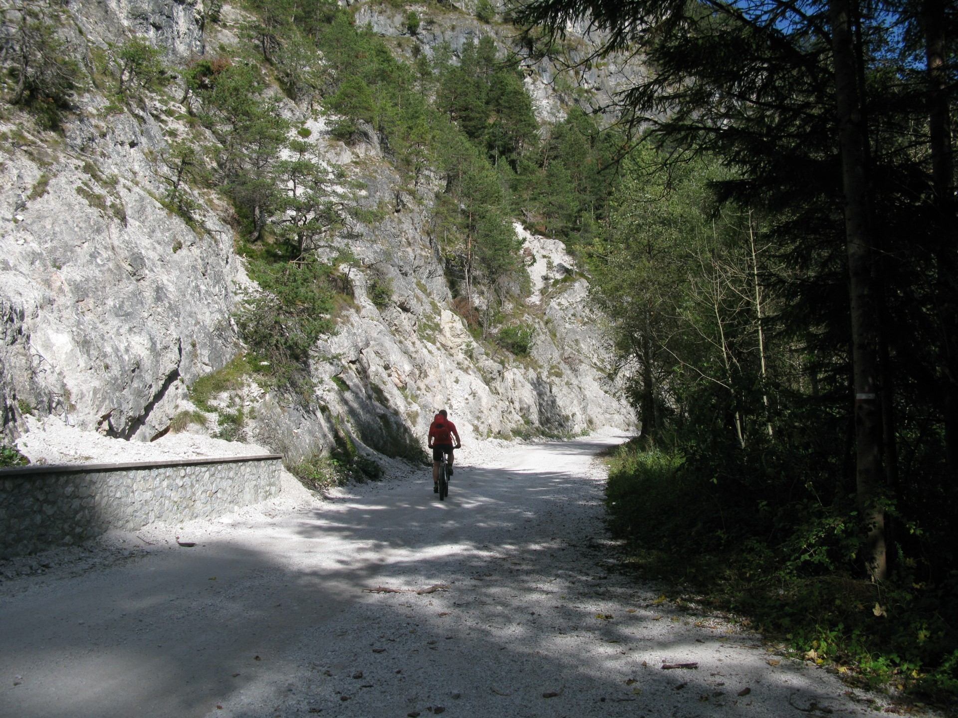
Passed Bartolo Saddle, a short across and then descent on a road with high slope parts, good visibility, low slope but straight parts, bridges and a river just beside the road. The exemplary road bottom allows to run without high dangers and, if you want, to delight of the beauty of valley environment, especially during autumn, as suggested at the end of the description.
Close to the bottom of the valley, you leave the main road turning left and passing over a bridge, biking toward Feinstritz village. Just arrived to the village the route turns left on a initially tarmac road, that becomes a dirt road further some hundreds of metres, in Feinstritzer Alm - Wh. Oisternig direction. Uphill has a high slope: in 8km you move from 640m to 1720m, mainly in the initial part in the North slope of Osternig Mount.
Reached the cabin and the surrounding village on the Italy-Austria borderline, the route turns left on a road that brings to Sella Pleccia - Pleccia Saddle (1616m), and going up after to Achomitzer Alm (1712m). Now the uphill is ended, the descent starts!
Rather no, there's a small across to do, in soft descent but not always cyclable, depending mainly to latest rainfalls. After, the descent really starts on a great trail, into wood, with a good bottom and not too narrow curves. You turn right just before Rifugio Forestale Cima Muli, going ahead on dirt road.
The descent has a very high slope, a road bottom ruined by water and low maintenance, but at the same time good to run, with technique and attention. In just a few minutes you reach the Camporosso village, starting point of the route.
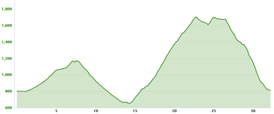
Route is 32km long with 1550m of elevation gain, split into two main parts.
Autumn is the suggested season: this zone is much visited during summer and the uphill roads traveled. Landscape views, route parts into woods and the well kept environment naturalness are perfect for autumn.
Track's picture and video
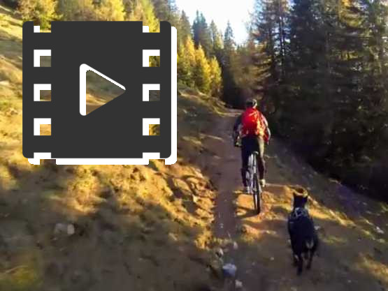
Descent video.
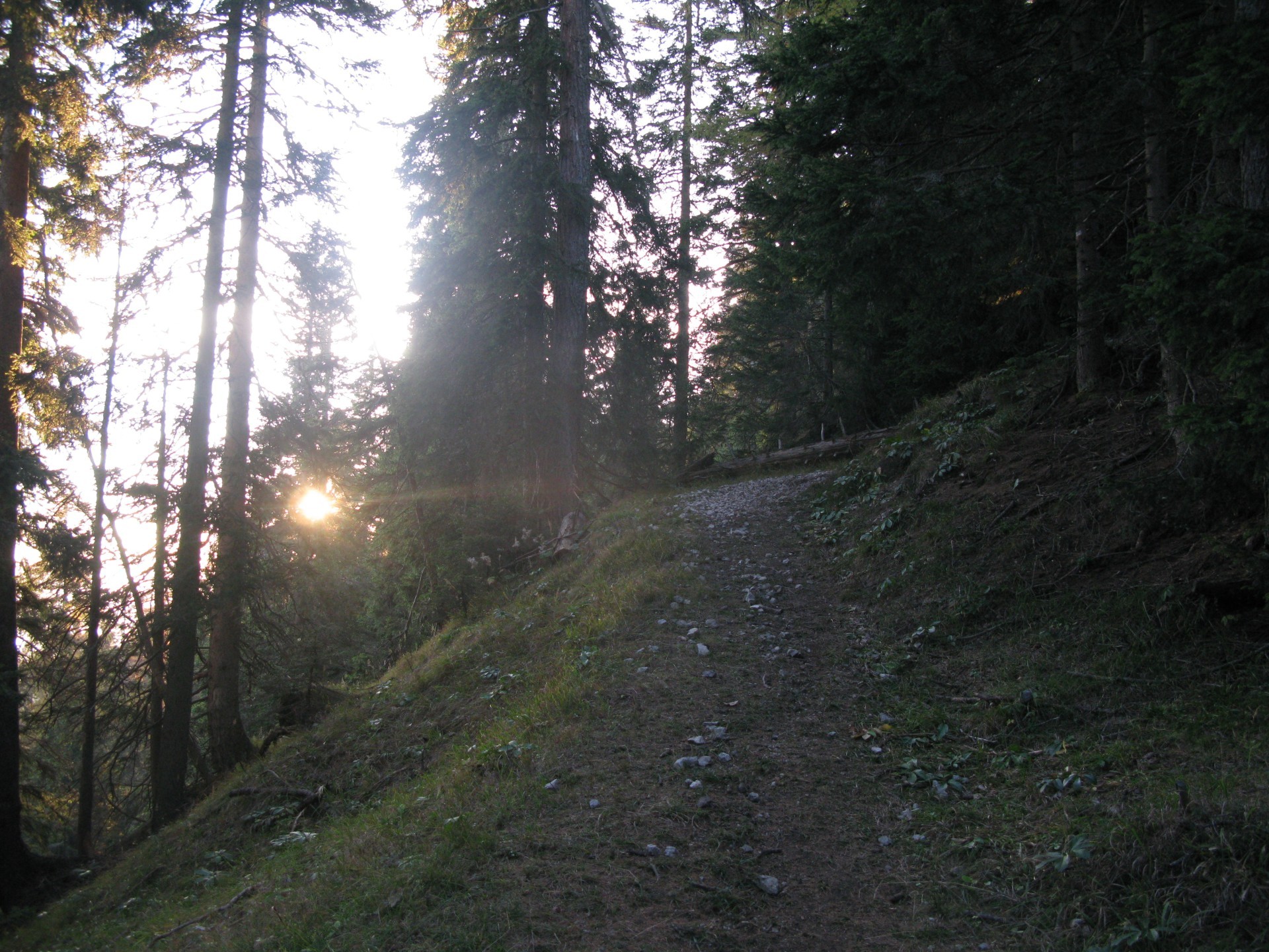
Before on a trail, then on a dirt road, narrow and with nice curves: good to run.
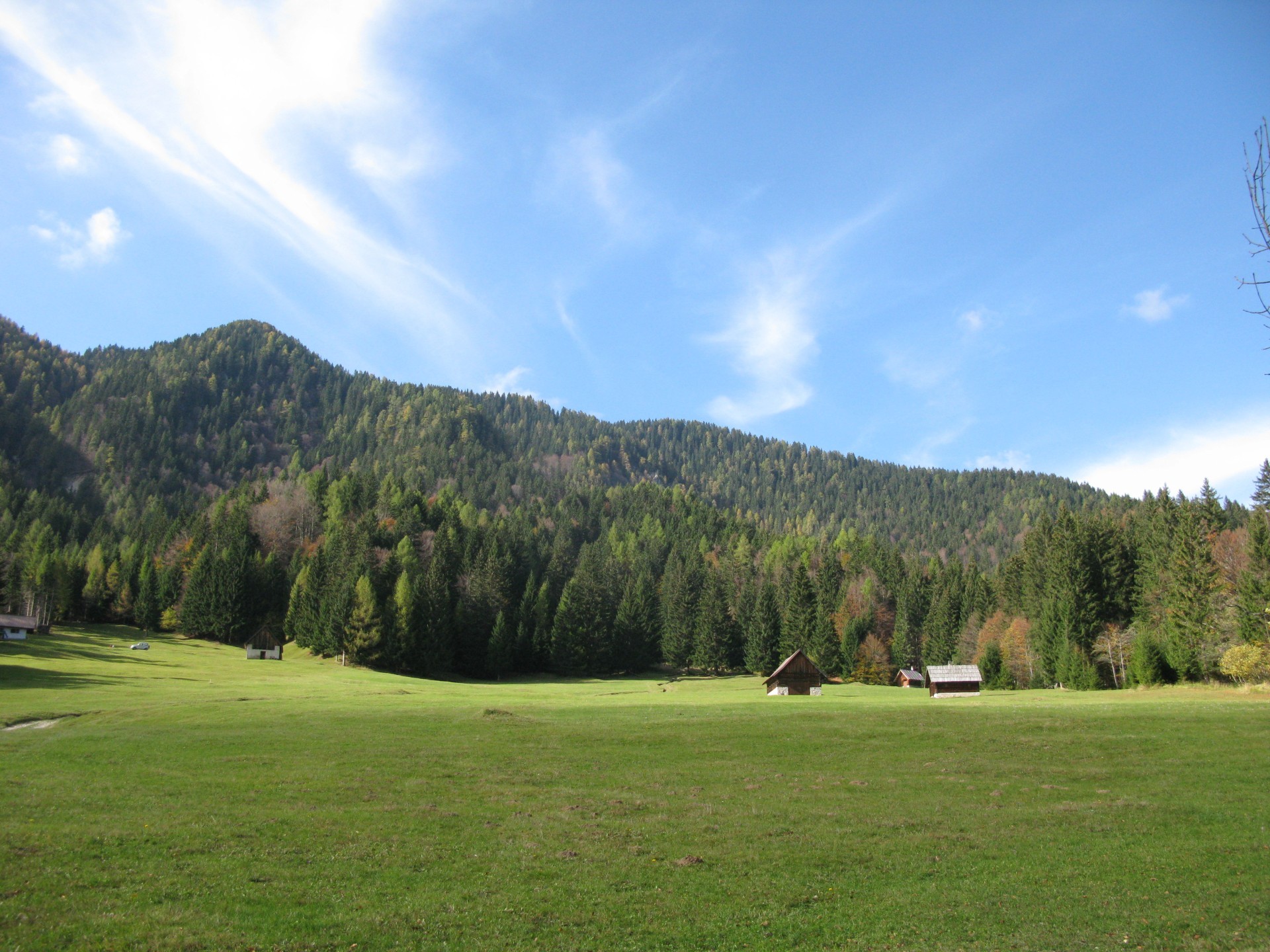
First part of Bartolo Valley uphill road.
Perfect road, low slope, few traffic: closed to traffic in the middle of the valley.
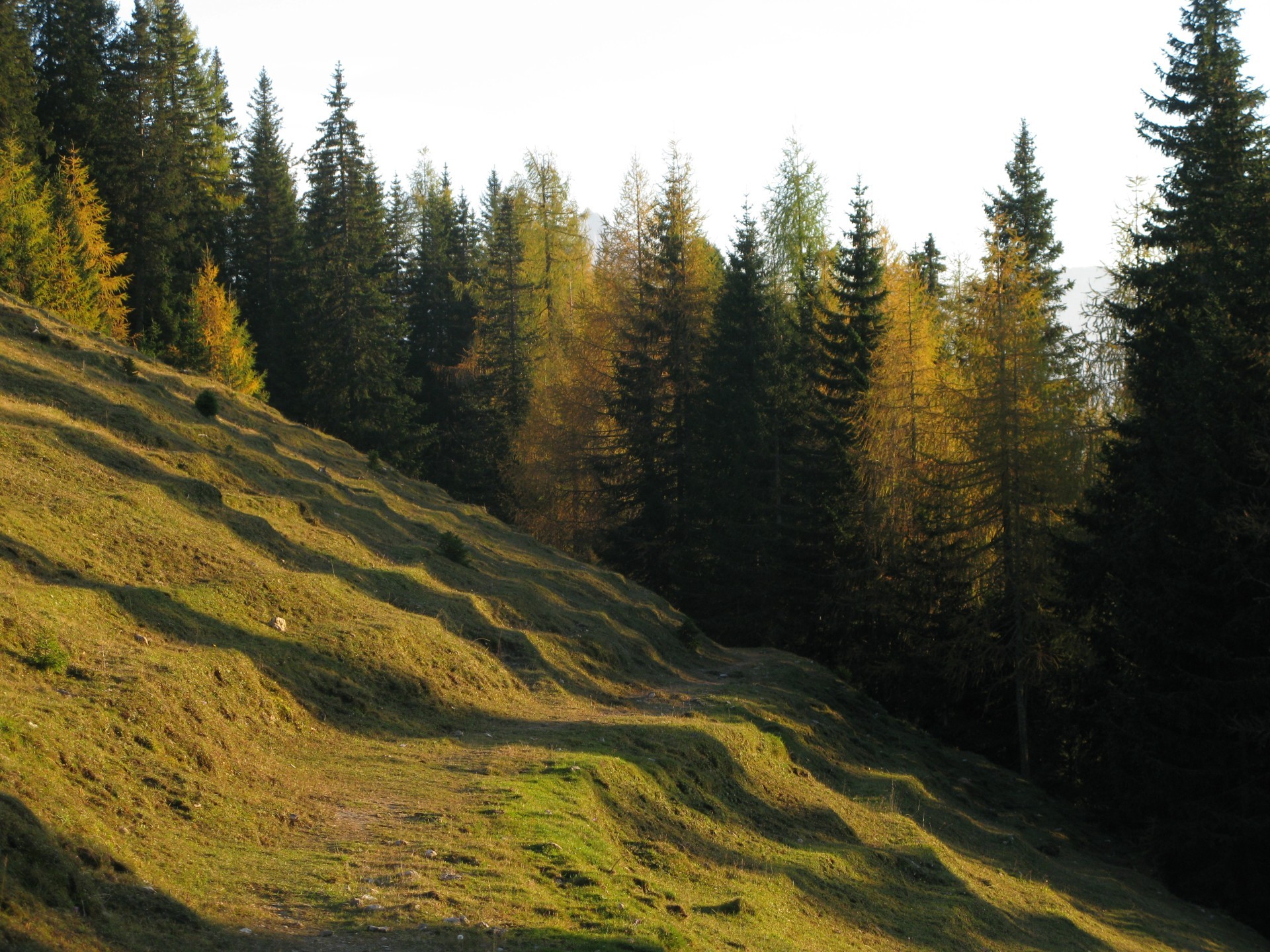
High part of Bartolo Valley.
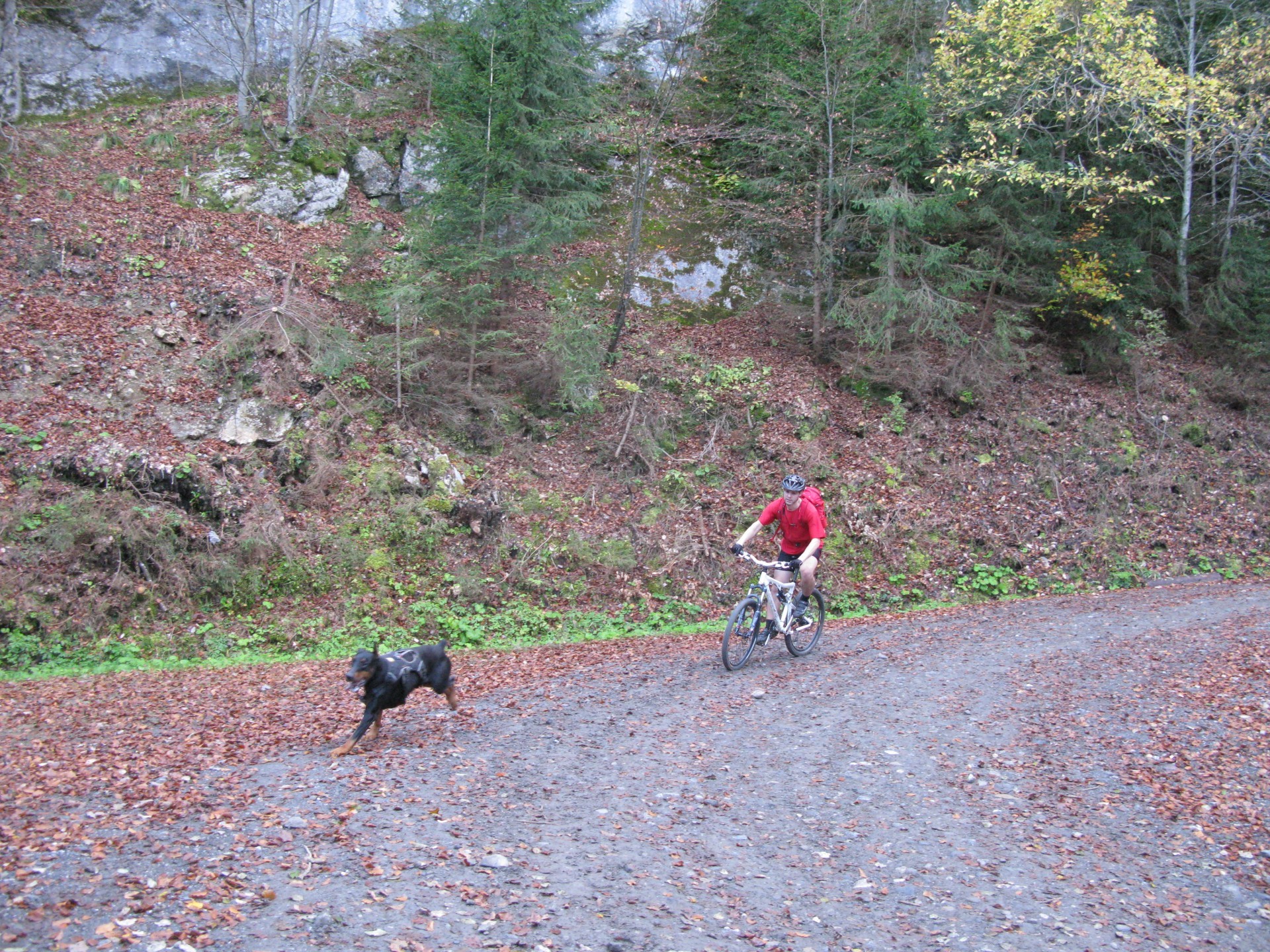
An "old mountain" return.
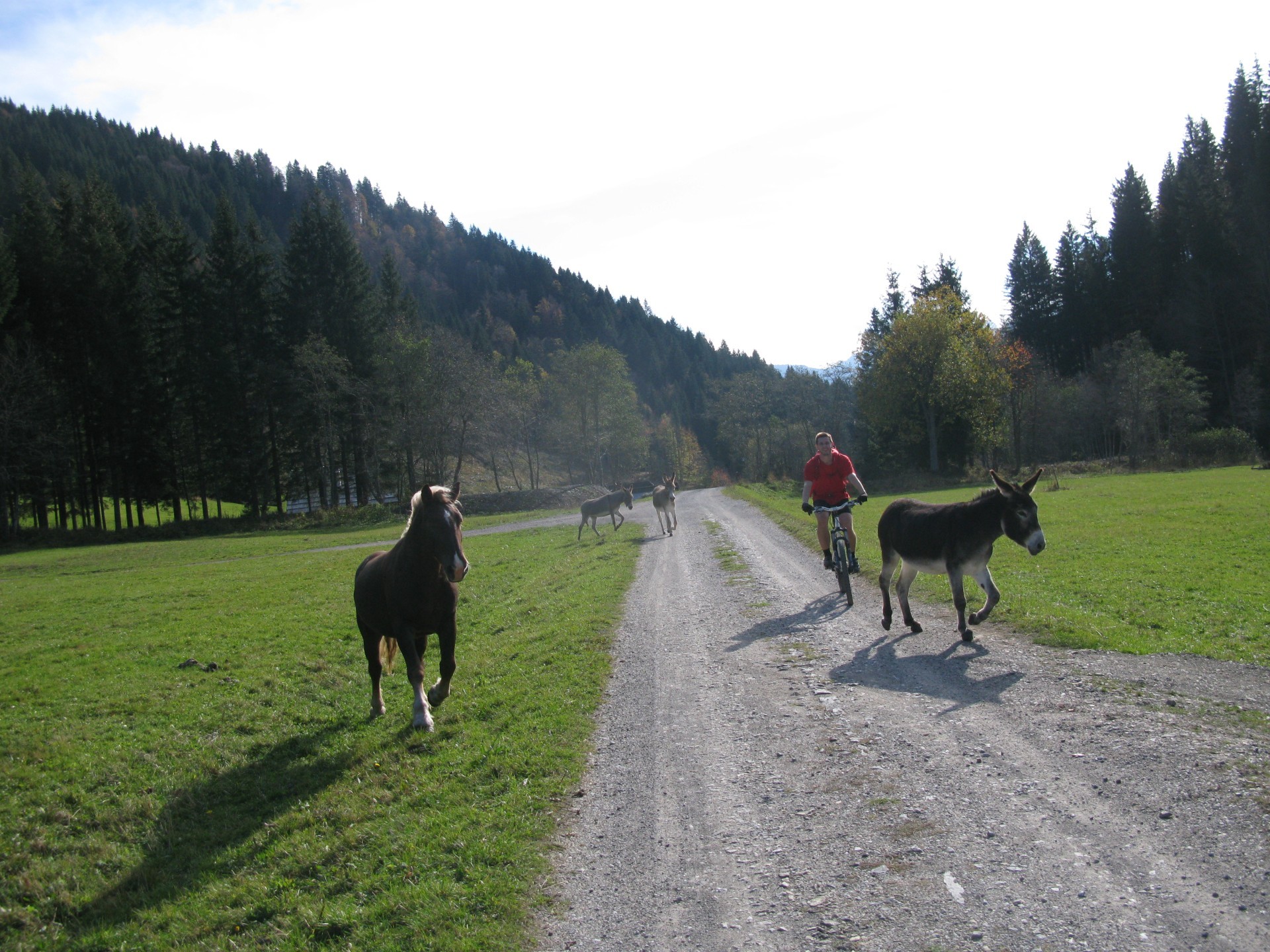
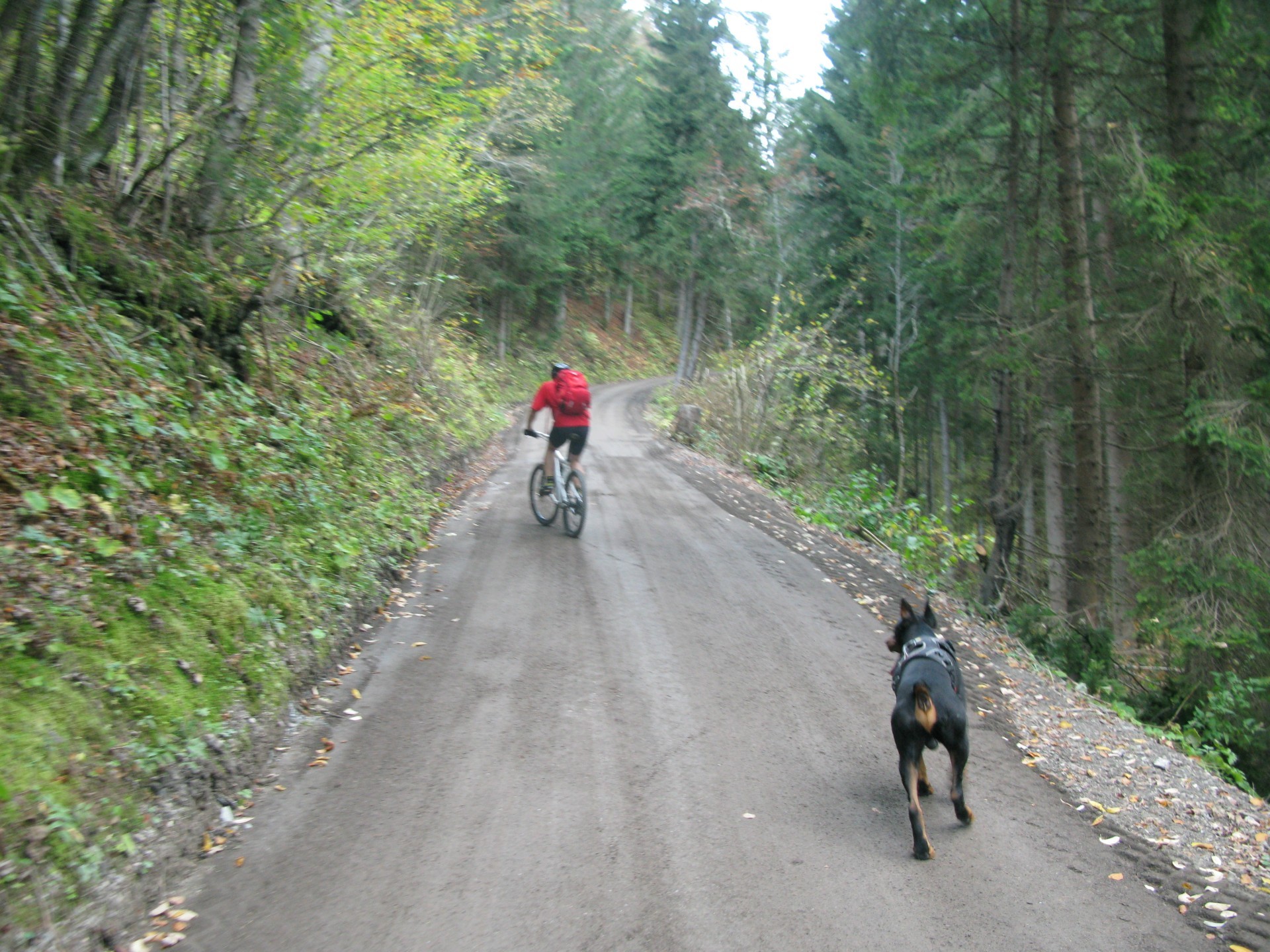
Horse, biker, mule.
Eight foot, two wheels.
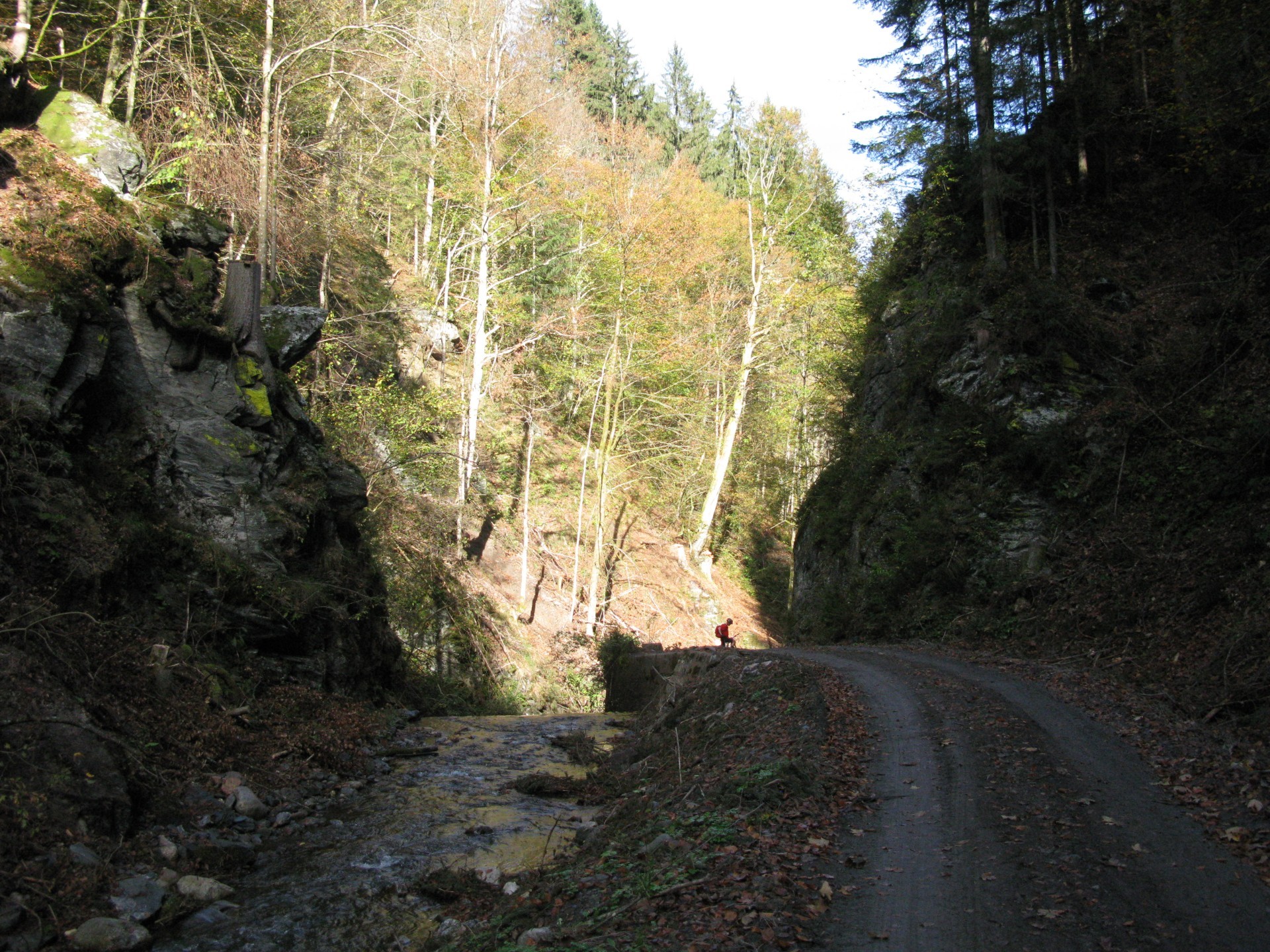
During descent from Bartolo Saddle to Feinstritz village.
Well maintained road, excellent both for run and panorama.
As in Bartolo valley, the road is alongside the river.
From Feinstritz village.
The road toward Osternig Mount is on the right (North) mountain slope in the middle of the picture.
Uphill toward Feinstritzer Alm.
The total average slope is higher than 13%.
Landscape along the uphill.
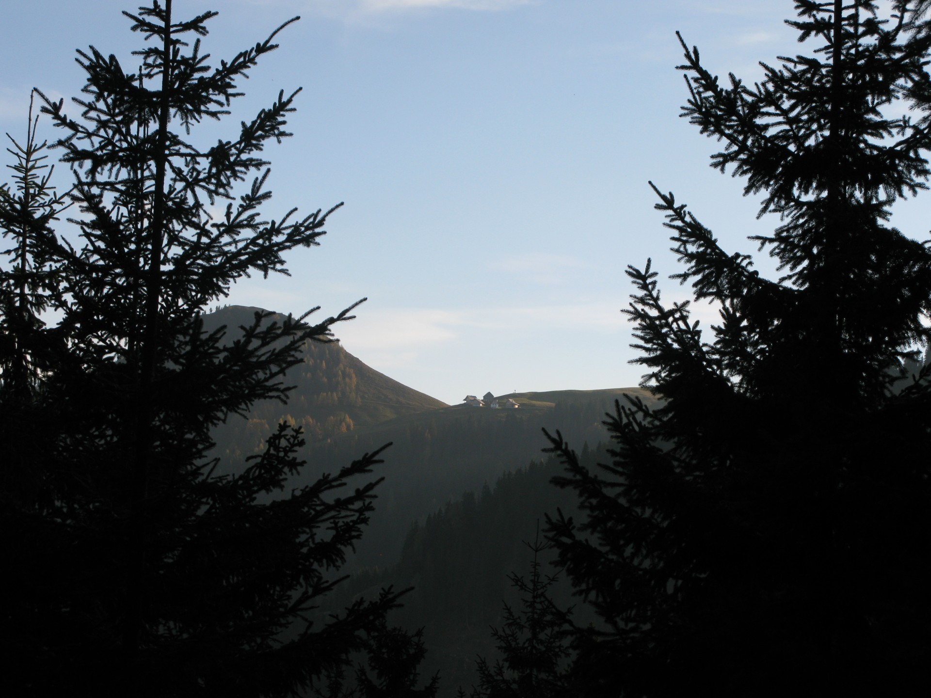
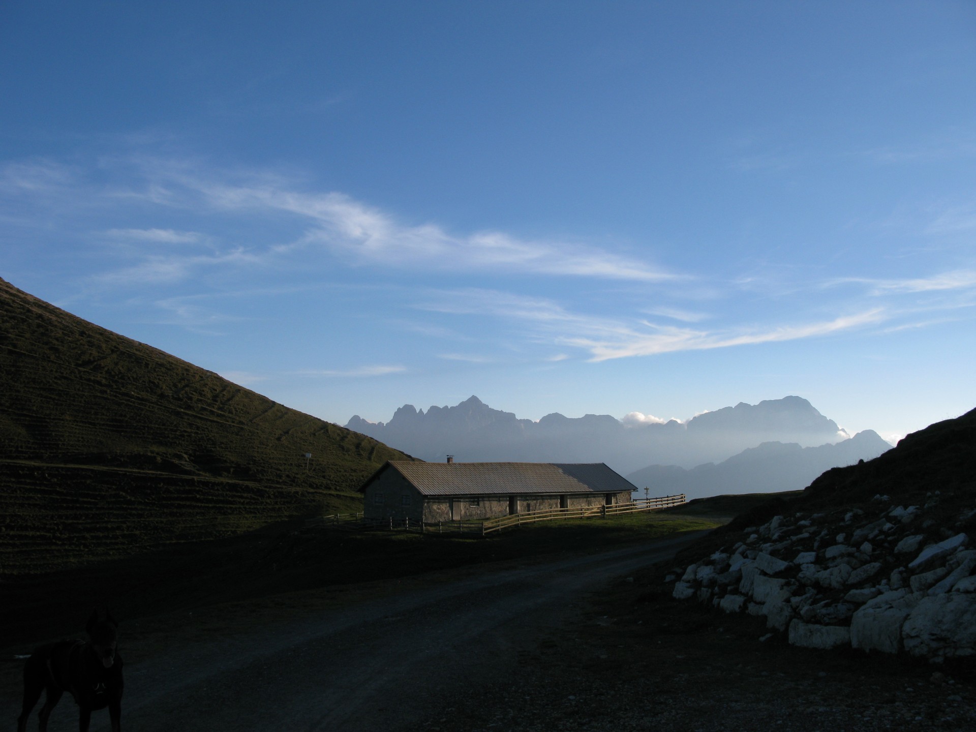
Schönwipfel Schutzhaus place, beside Acomizza Mount (Schönwipfel), that will be crossed before descent.
The effort is fully rewarded by panorama.
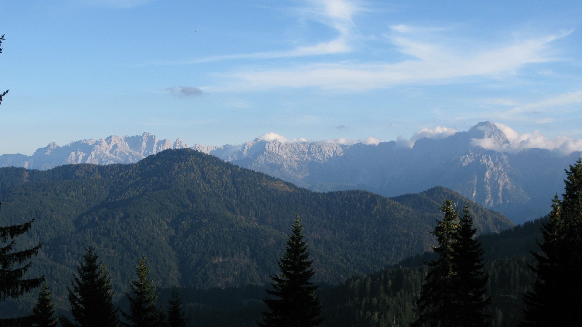
Jôf di Montasio Mount prevails on the right over.
Wh. Oisternig.
You'll arrive on the wide road on the right, going on the dirt road on the left, toward Acomizza.
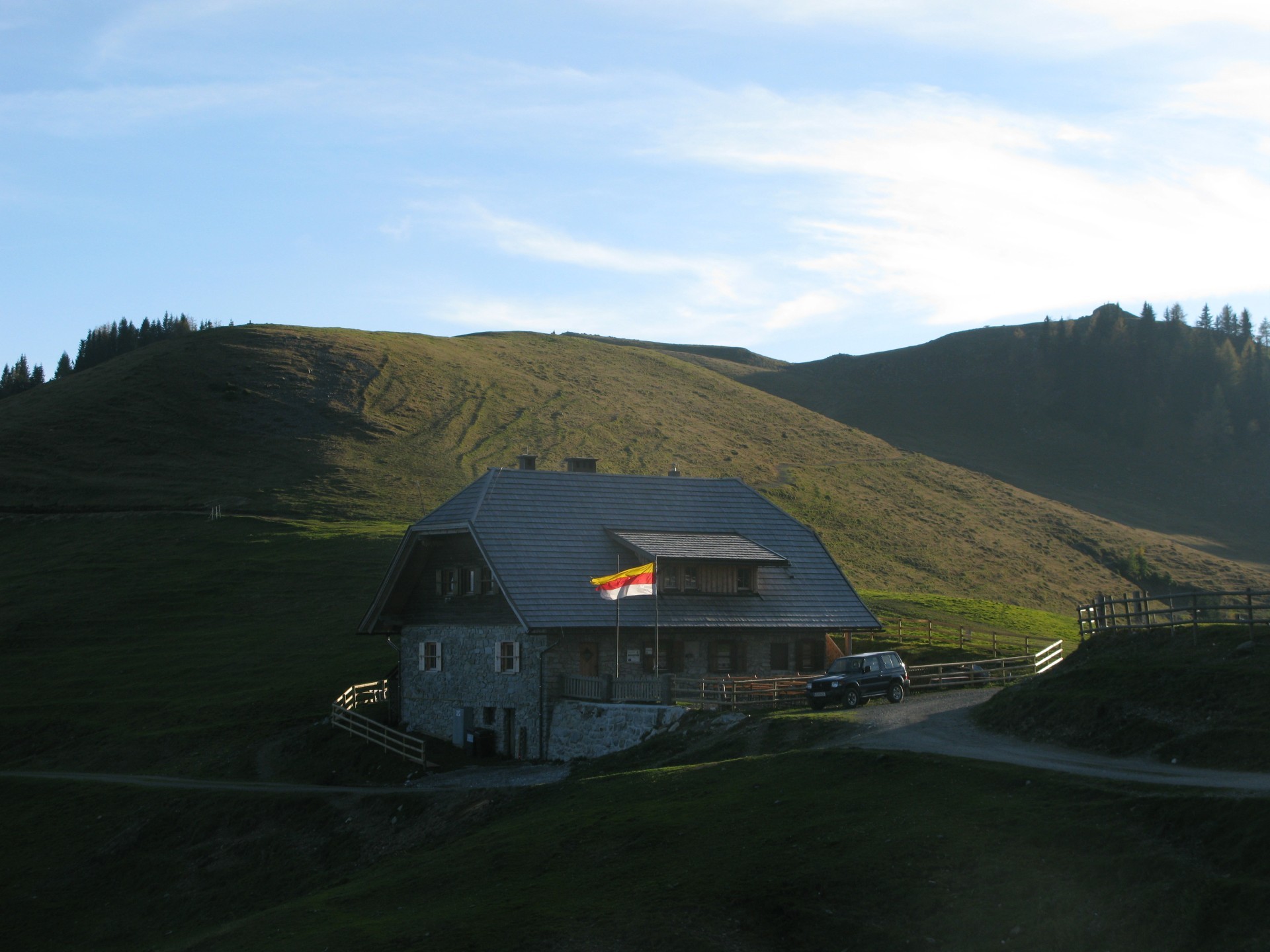
Acomizza Hut.
Jôf mountains on the background.
Trail CAI 508 begin, the descent to Rif. Forestale Cima Muli first and Camporosso village after.
The initial part has a light descent.
You go ahead on trail and on dirt road too, with descent slope good for running.


 Tabacco Map: 19
 .PDF Guide
 Parking
 Track
Track